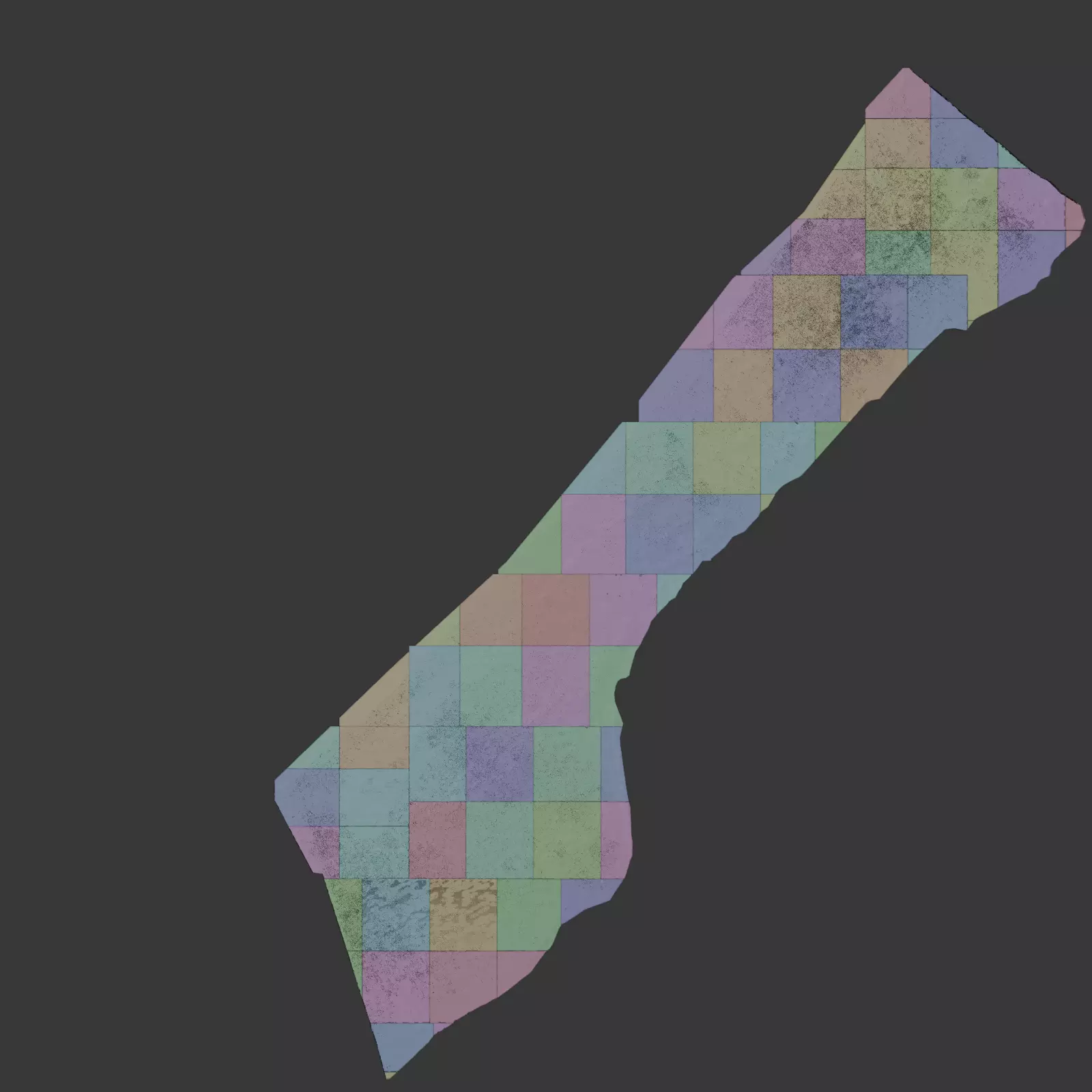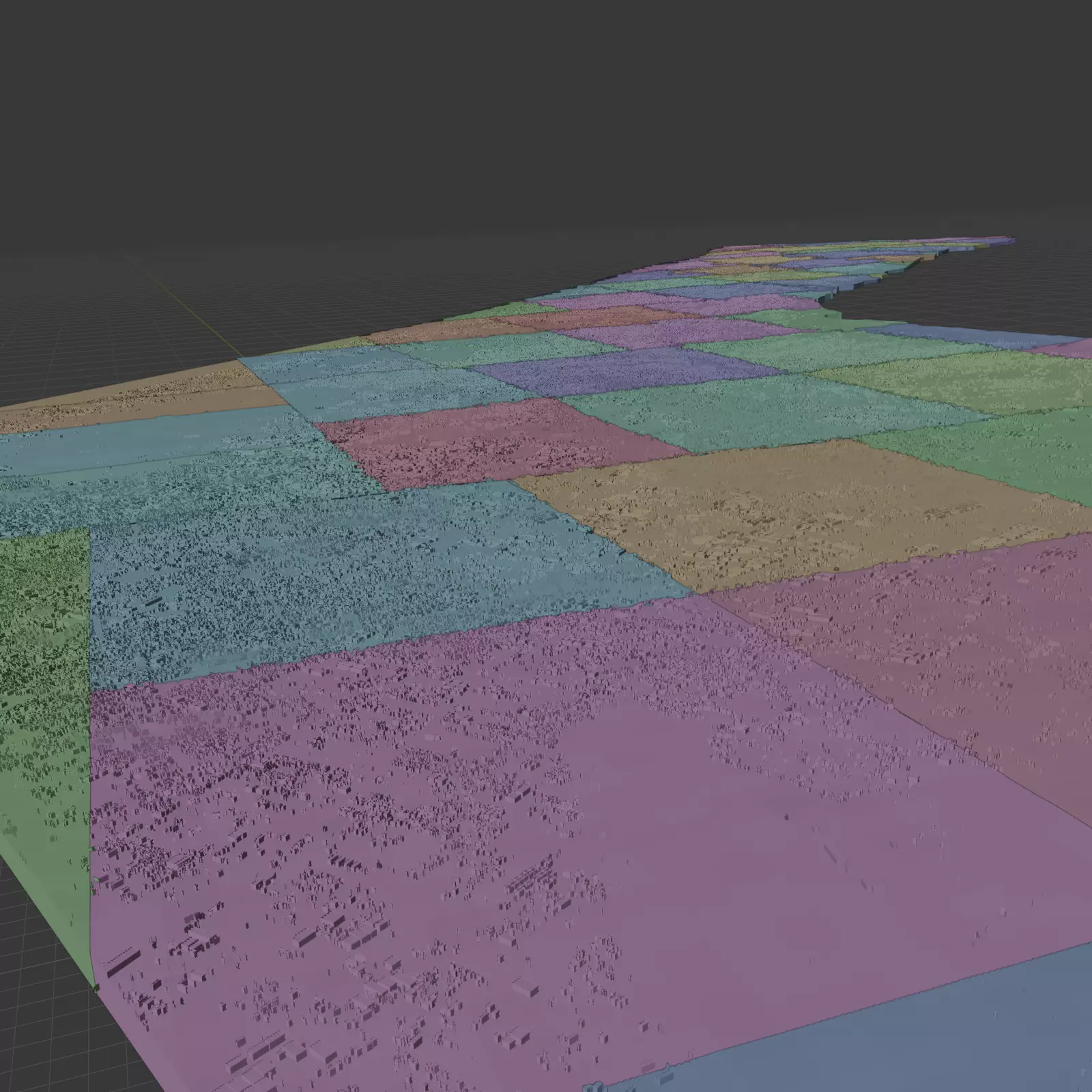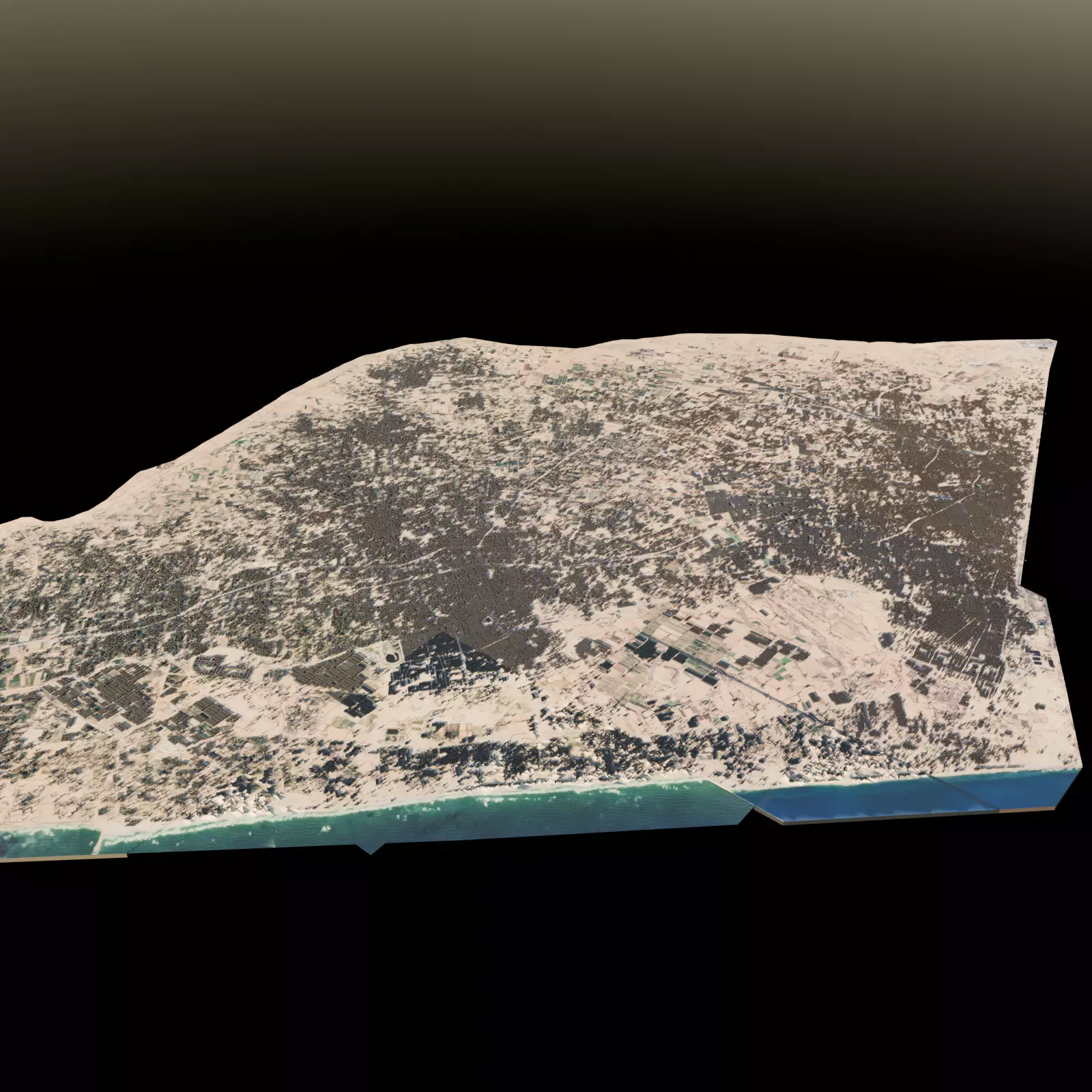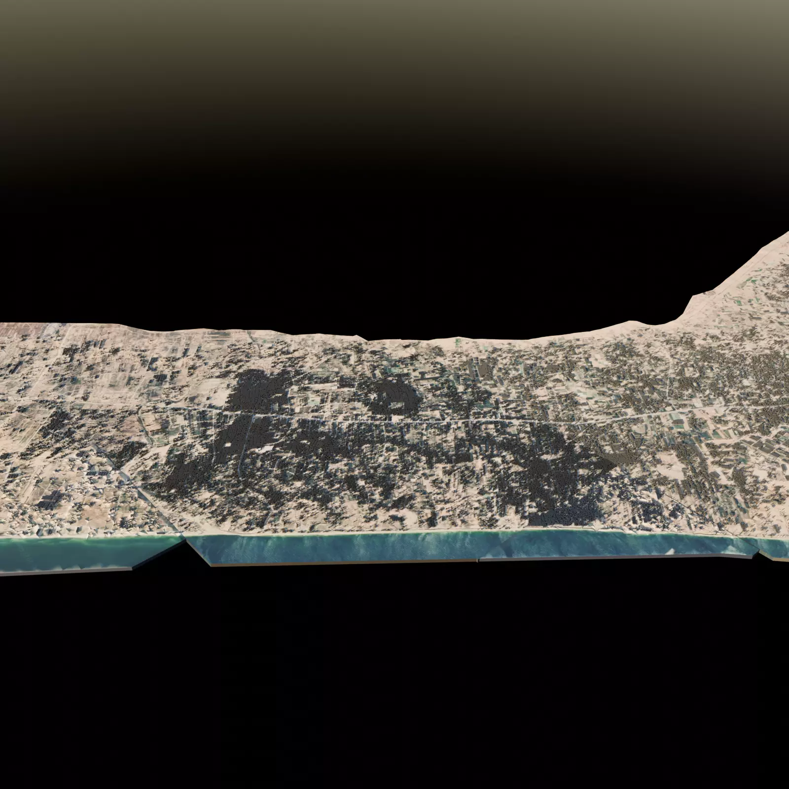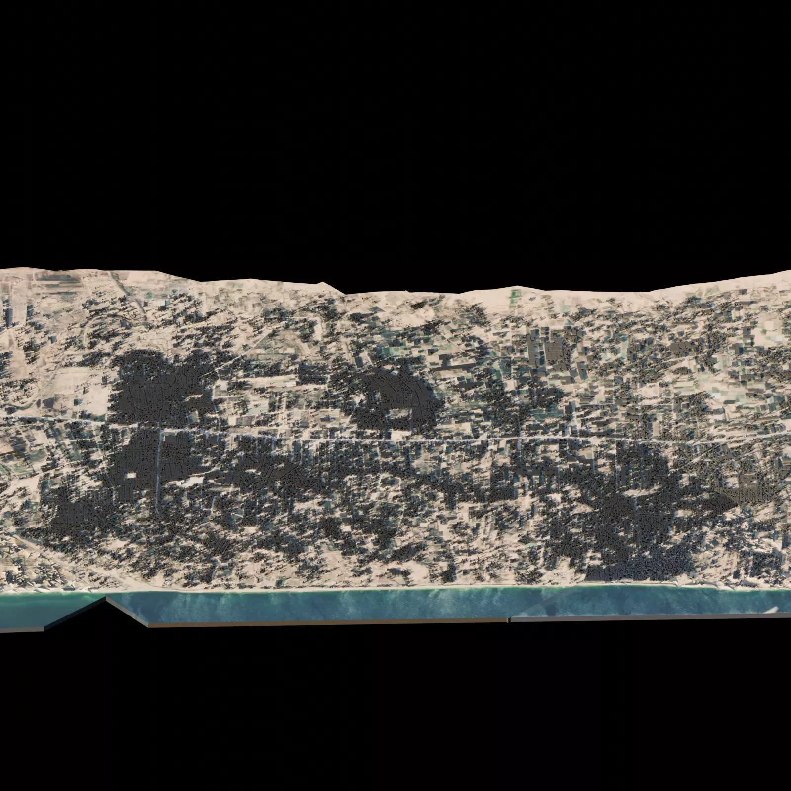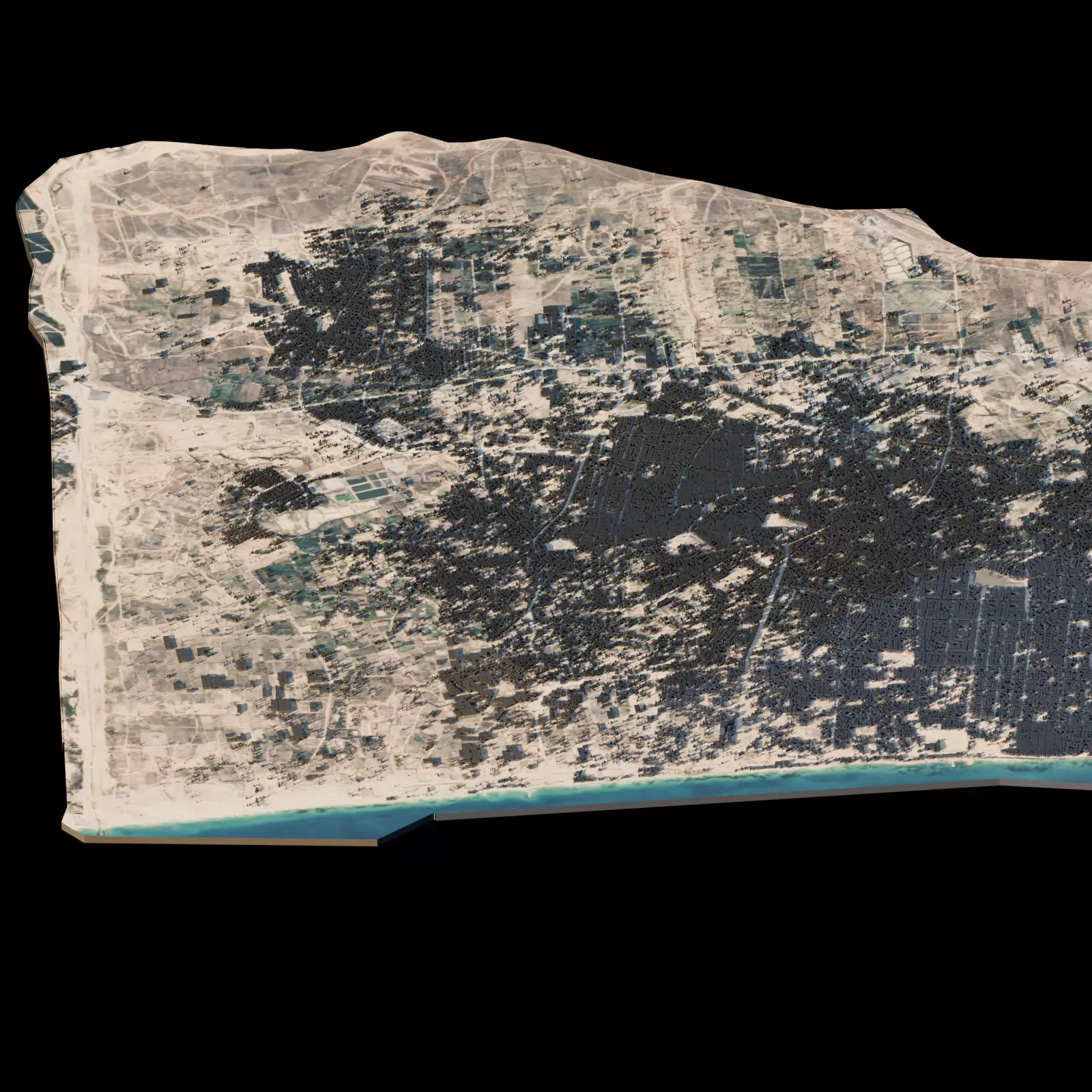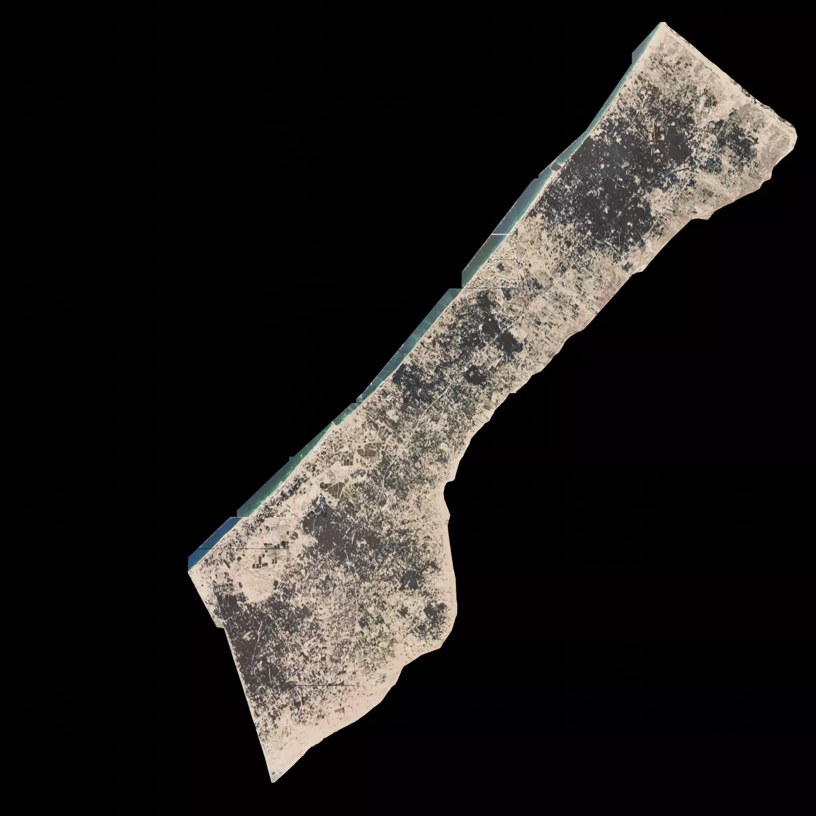
Gaza City Architectural Topographic 3D print model
This 3D model represents the city of Gaza based on open-source geographic data and satellite imagery, with the aim of using it as a digital tool for educational, archival, and humanitarian purposes.
It reflects the urban fabric and infrastructure of the city as it was before the recent escalation of the conflict. The data is not current; it is about a year and a half behind, i.e., the initial stages of the conflict. Important notes:
Sensitive content: This model depicts a city undergoing a severe humanitarian crisis. It is not intended for entertainment.
Data sources: Created using OpenStreetMap data and satellite elevation models. It represents a historical baseline and not the current situation on the ground.
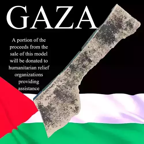
A portion of the proceeds from the sale of this model will be donated to humanitarian relief organizations providing assistance in the region (such as PCRF and UNRWA). [This is an important and highly recommended step.]
- The blende file is in the zip file.

