1/6
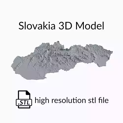
This is a topographic 3D model of the terrain of Slovakia. The 3D model is in STL file format and therefore compatible with CNC routers and 3D printers. The elevation of topographical features like mountains and rivers in this 3D Map has been exaggerated to better highlight the topography of Slovakia.
► High qualityOur stl 3d model files have been optimized to work with CNC routers, 3D fdm printers and 3D resin printers. These 3D models have a very high mesh density, meaning that you can use them for 3D printing and wood carving projects of all sizes without any loss in quality in the final result.
► Contact us!If you're interested in more amazing 3D model stl files, be sure to check out our shop! At Codingry, we are committed to bringing you the best possible experience, so do not hesitate to contact us with any questions or requests regarding personalized products.
Your Topomaps-Team
REVIEWS & COMMENTS
accuracy, and usability.


