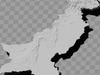
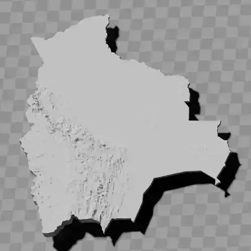
Pakistan relief map topography collection / geography kit
Includes several models:
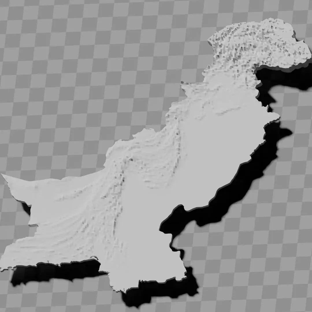
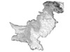
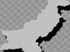
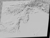
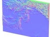
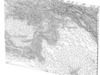
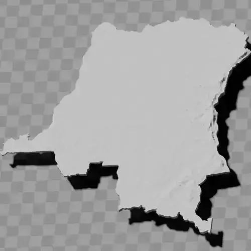
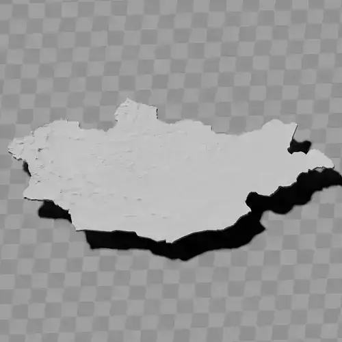
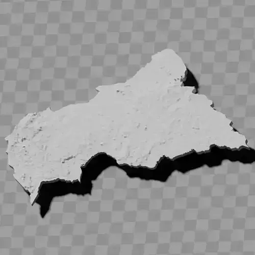
a cutout with exaggerated terrain / topography [Mercator-projection-distorted version + undistorted version]
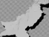
simplified version(s) with reduced polygon counts via quadratic decimation
non-cutout versions of the tolopgy [Mercator-projection-distorted version + undistorted version]
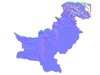
a simple 'prism' [flat-surfaced cutout of the country's boundaries with no topology features added]
'expanded' version which is a convex hull of the prism. You can use this as a 'base' to stabilize the model to avoid problems with small details breaking off if you try to 3d print it.
includes STL and OBJ formats. non-textured.
~~~~~~~~~~~~~~~~~~~~~~~~~~~~~~~~~~~~~~~~~~
پاکستان کا ریلیف نقشہ ٹوپوگرافی مجموعہ / جغرافیائی کٹ
متعدد ماڈلز شامل ہیں:
بڑھا ہوا اراضی / طبعی نقشہ کے ساتھ کٹ آؤٹ [مرکیٹر-پروجیکشن-مسخ شدہ ورژن + غیر مسخ شدہ ورژن]
چوکور کمی کے ذریعے کم پولیگون گنتی والے سادہ ورژن(ز)
طبعی نقشے کے غیر-کٹ آؤٹ ورژنز [مرکیٹر-پروجیکشن-مسخ شدہ ورژن + غیر مسخ شدہ ورژن]
ایک سادہ 'منشور' [ملک کی سرحدوں کا ہموار سطحی کٹ آؤٹ بغیر کسی طبعی نقشہ خصوصیات کے]
'وسیع' ورژن جو منشور کا محدب خول ہے۔ آپ اسے 'بیس' کے طور پر استعمال کر سکتے ہیں تاکہ ماڈل کو مستحکم کیا جا سکے اور 3ڈی پرنٹ کرنے کی کوشش میں چھوٹے تفصیلات کے ٹوٹنے کے مسائل سے بچا جا سکے۔
STL اور OBJ فارمیٹس شامل ہیں۔ ٹیکسچر نہیں ہے۔