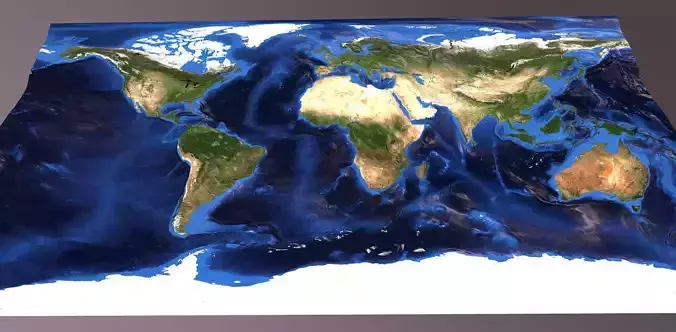
Ecuador Satellite Night and OldStyle and Lightning 10k High resolution Maps
The following files exist in this package :*
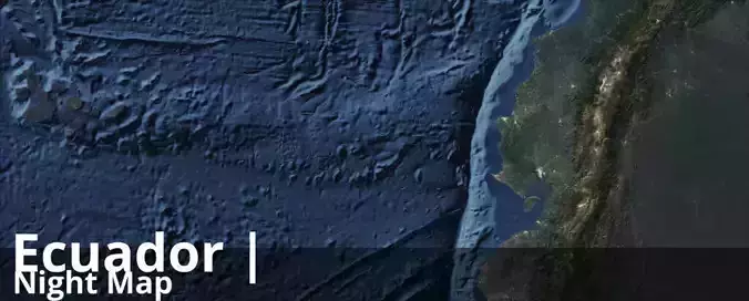
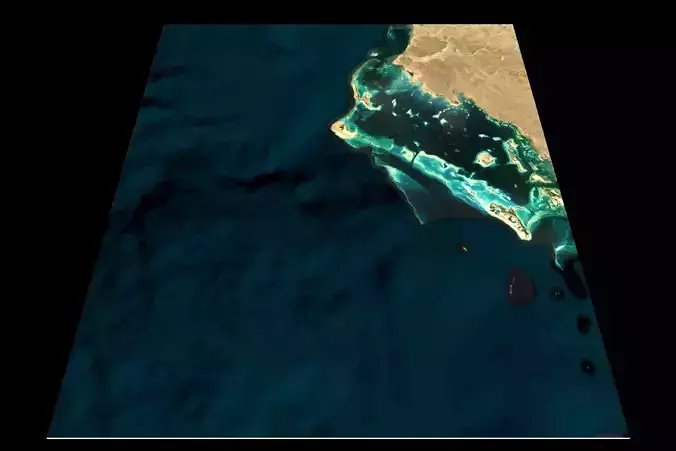
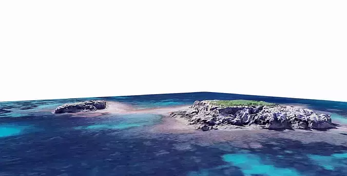
ecuador_satelliteDark_basecolor.jpg - resolution : 10470x4212
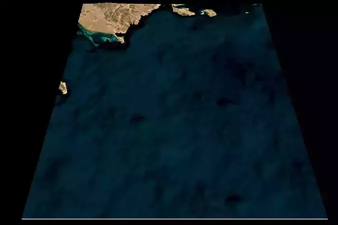
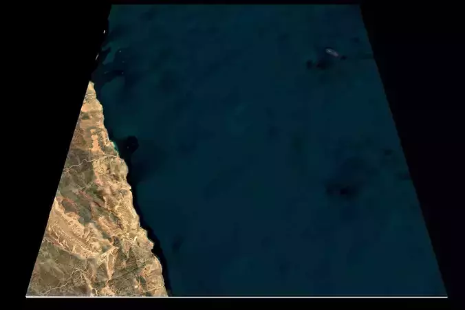
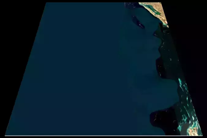
ecuador_satelliteDark_basecolor_country3d_all_preview3D_cam1_preview.jpg - resolution : 1536x1152
ecuador_satelliteDark_preview.jpg - resolution : 1024x412
ecuador_satelliteDark_preview_2_.jpg - resolution : 1024x412
ecuador_satelliteDark_basecolor.exr - resolution : 10470x4212
ecuador_OldStyle_basecolor.exr - resolution : 10470x4212
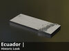
ecuador_OldStyle_basecolor.jpg - resolution : 10470x4212
ecuador_OldStyle_basecolor_country3d_all_preview3D_cam1_preview.jpg - resolution : 1536x1152
ecuador_OldStyle_preview.jpg - resolution : 1024x412
ecuador_OldStyle_preview_2_.jpg - resolution : 1024x412
ecuador_Lightning_basecolor.jpg - resolution : 10470x4212
ecuador_Lightning_basecolor_country3d_all_preview3D_cam1_preview.jpg - resolution : 1536x1152
ecuador_Lightning_preview.jpg - resolution : 1024x412
ecuador_Lightning_preview_2_.jpg - resolution : 1024x412
ecuador_Lightning_basecolor.exr - resolution : 10470x4212
ecuador_countryBorder__basecolor.exr - resolution : 10470x4212
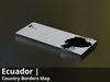
ecuador_countryBorder__basecolor.jpg - resolution : 10470x4212
ecuador_countryBorder__basecolor_country3d_all_preview3D_cam1_preview.jpg - resolution : 1536x1152
ecuador_countryBorder__preview.jpg - resolution : 1024x412
ecuador_countryBorder_preview_2.jpg - resolution : 1024x412
ecuador_countryBorder_with_neighbours__basecolor.exr - resolution : 10470x4212
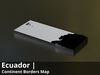
ecuador_countryBorder_with_neighbours__basecolor.jpg - resolution : 10470x4212
ecuador_countryBorder_with_neighbours__basecolor_country3d_all_preview3D_cam1_preview.jpg - resolution : 1536x1152
ecuador_countryBorder_with_neighbours__preview.jpg - resolution : 1024x412
ecuador_countryBorder_with_neighbours_preview_2.jpg - resolution : 1024x412
These textures align to following latitude/longitude coordinates :minimum Latitude : -6.0maximum Latitude : 2.0minimum Longitude : -93.0maximum Longitude : -75.0
Tags :cartography geography world terrain landscapes MakingMapsPretty map globemaker topography openstreetmap satelliteDark OldStyle Lightning countryBorder countryBorderwithneighbours