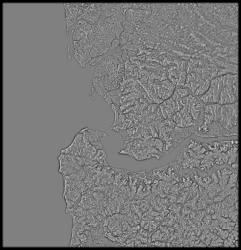
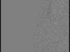
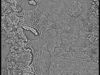
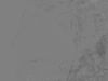
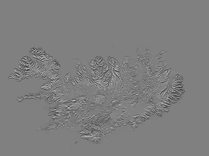
Senegal High resolution 11k curvature map
CountryMask = alpha for the country borders, countrySeaMask = all landmass in alpha.
In the files, LatLon means aligned to the following latitude/longitude coordinates :minimum Latitude :12.0maximum Latitude :17minimum Longitude :-18.0maximum Longitude :-11
senegal_render_countrySeaMask_0__basecolor.0.exr - resolution : 11105x8659
senegal_curvature_full0000.jpg - resolution : 11105x8659
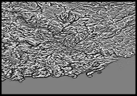
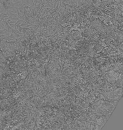
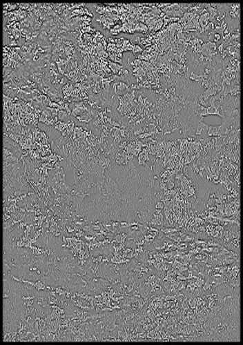
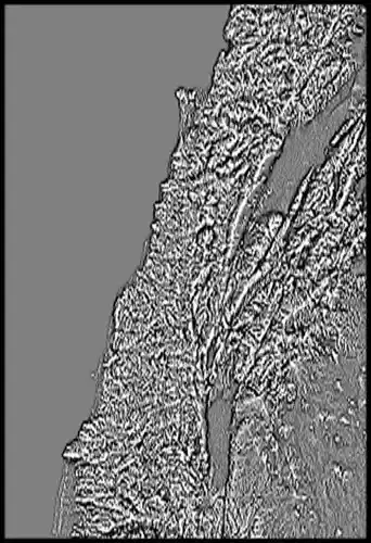
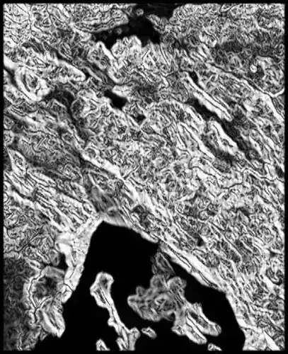
senegal_curvature_3_preview0000.jpg - resolution : 841x875
senegal_curvature_2_preview0000.jpg - resolution : 841x875
senegal_render_countryMask_0__basecolor.0.exr - resolution : 11105x8659
senegal_curvature0000.exr - resolution : 11105x8659
senegal_curvature_full0000_thmb0000.jpg - resolution : 1025x799
senegal_curvature_4_preview0000.jpg - resolution : 841x875
senegal_curvature_1_preview0000.jpg - resolution : 841x875
senegal_curvature_0_preview0000.jpg - resolution : 841x875
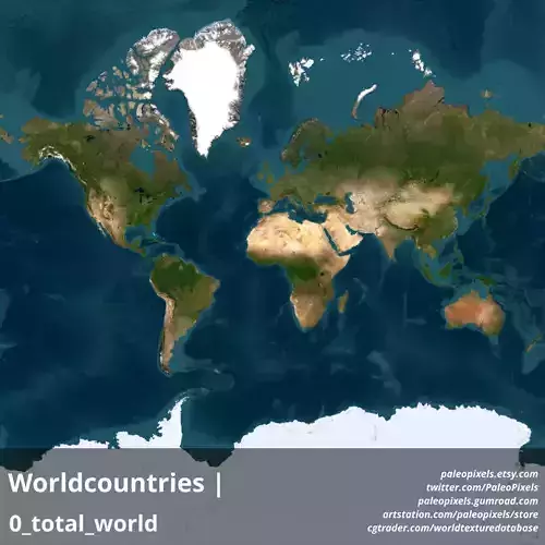
tags:heightmap earth longitude latitude world geomapping elevation elevationmap senegal