DESCRIPTION

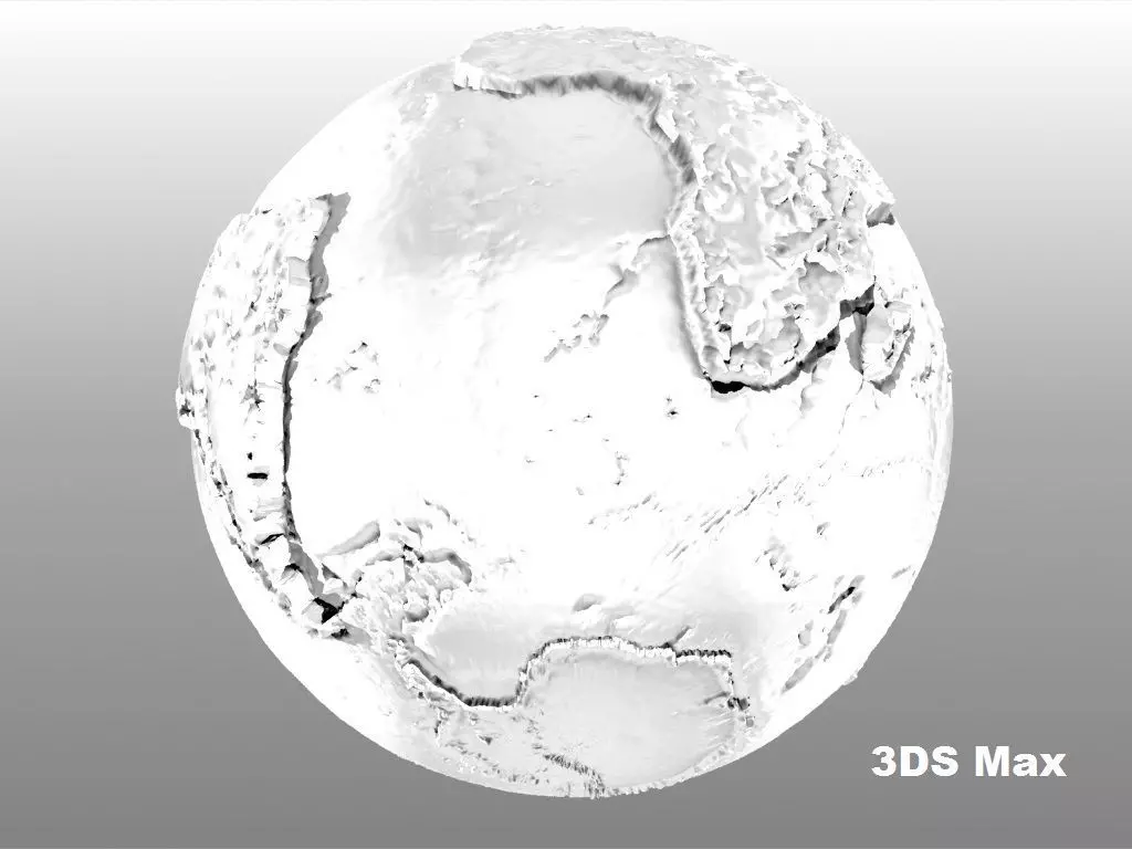
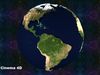
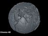
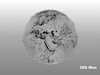
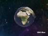
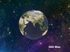
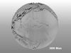
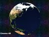
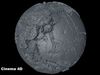
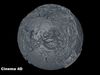
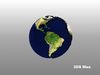
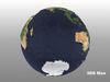
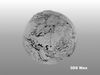
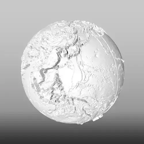
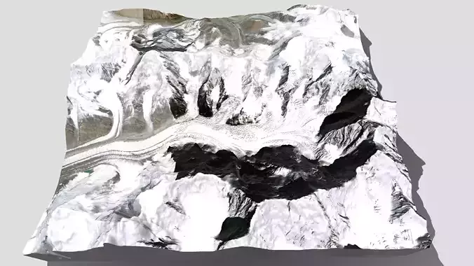
Este modelo 3D es una representacion a escala de globo terraqueo, como lo habran notado, las dimensiones representan los continentes segun su tamaño y proporsiones reales. Ya que muchos mapas tienden a exagerar las dimensiones de algunos paises o islas por ejemplo groenlandia que siempre pareciera mas grande que africa, lo cual no es real, ya que africa es 14 veces mas grande. Por eso me he dedicado a realizar varios modelos del globo terraqueo. En este modelo tambien se nota el relieve y veran que los archivos pesan varios megas ya que requería demasiados vertices (258482) y poligonos (516960) para hacer un retrato lo mas pegado a la realidad, aunque le he agregado una texturas (bajado de la pagina de la nasa), para simular el color; Tambien he agregado los render tanto con y sin textura, para que se notara que es realizado al detalle.

This 3D model is a representation to scale of the terrestrial globe, as you may have noticed, the dimensions represent the continents according to their real size and proporsions. Since many maps tend to exaggerate the dimensions of some countries or islands for example Greenland that always seems bigger than Africa, which is not true, since Africa is 14 times bigger. That is why I have dedicated myself to making several models of the terrestrial globe. In this model you can also see the relief and you will see that the files weigh several megabytes since it required too many vertices (258482) and polygons (516960) to make a portrait as close to reality, although I have added a textures (downloaded from the nasa page), to simulate the color; I have also added the renderings both with and without texture, so that you will notice that it is done in detail.

Enjoy it.

REVIEWS & COMMENTS

See what other buyers think about this model - real feedback on quality,
accuracy, and usability.
There are no reviews or comments yet. Please be the first one to write it.
BEST PRICE GUARANTEED
Found this model cheaper on another marketplace? Let our support team know - we’ll match it.

World map - Relief topographic Scale 1-100000 3D model

Royalty Free License
Hire
Like this model to show appreciation to the designer.
See how many times this model was viewed.
Share this model to support the designer and boost their visibility.
Native file format
C4D
Size: 4.45 MB
Renderer: Default
Exchange formats
OBJ
OBJ<br />File Size: 6.62 MB
MAX
Autodesk 3ds Max<br />Renderer: Mental Ray<br />File Size: 2.36 MB
TEXTURES
Textures<br />File Size: 1.66 MB
STL
Stereolithography<br />File Size: 9.62 MB
Provided by designer
Information and details shared directly by the model's designer.
3D Features
The model includes animations (movement or actions) that can be played in supported software or engines.
The model has a skeleton or bone structure, making it ready for posing or animation.
PBR
Uses Physically Based Rendering materials, which give the model realistic lighting and surface properties.
Textures
The model includes image files (textures) that add color, patterns, or detail to its surfaces.
Materials
The model has material settings that define how surfaces look (color, shine, transparency, etc.).
UV Mapping
The model's surfaces are mapped to a 2D image, allowing textures to display correctly.
Plugins Used
Some external plugins were used to create the model. These may be required for full functionality.
3D printing
Indicates whether the designer marked this model as suitable for 3D printing.
Model is not 3D printable
The designer indicates this model is intended for digital use only (rendering, animation, or AR/VR) and not for 3D printing.
Geometry
Polygon mesh
A model built from polygons (triangles or quads) connected in a mesh.
516960 polygons
The total number of polygons (flat shapes) that make up the 3D model.
/ 258482 vertices
The number of points (corners) that define the shape of the model's polygons.
Unwrapped UVs
Publish date
Model ID
Chat