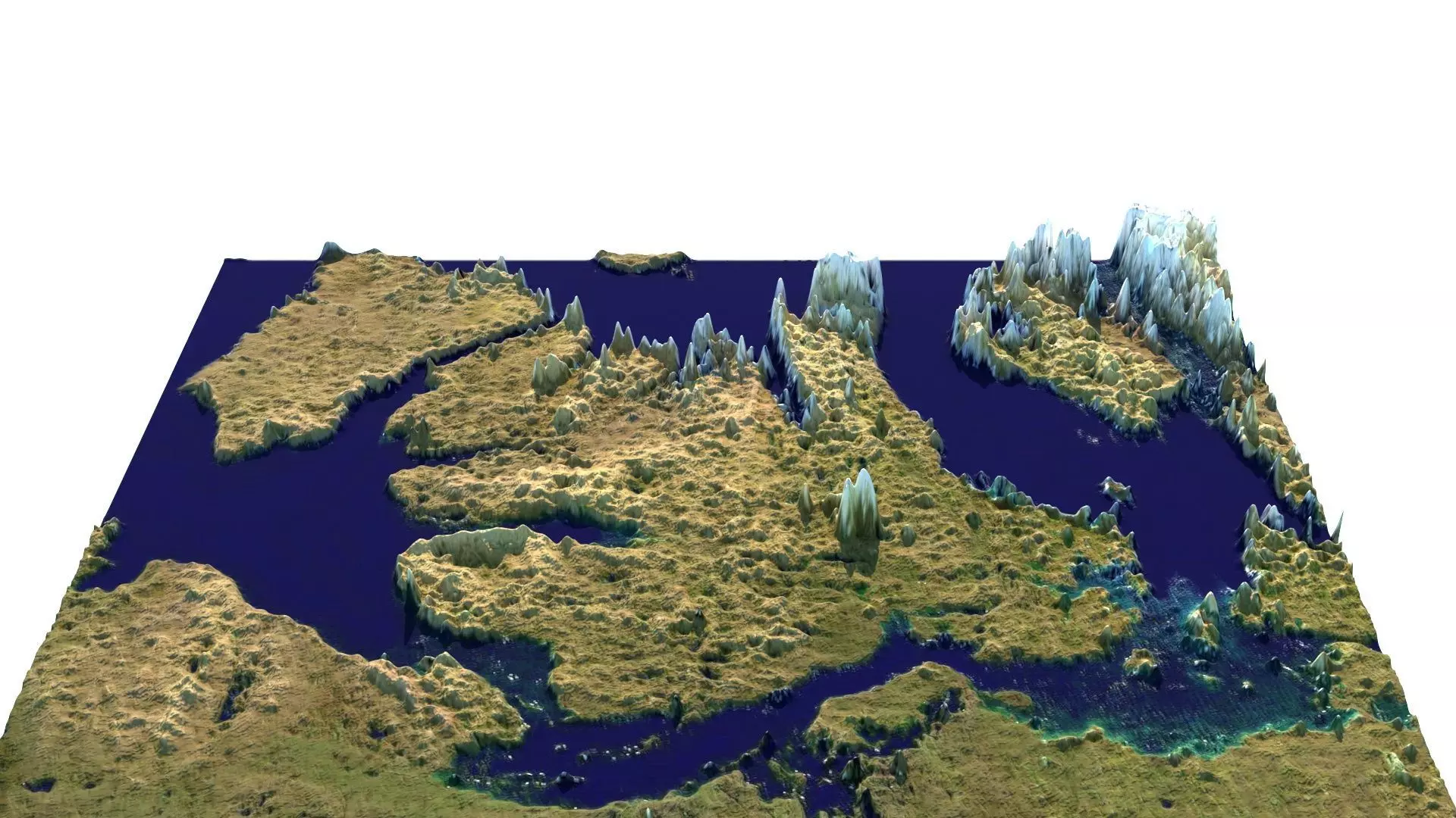
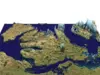
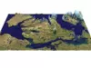
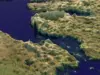
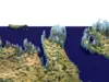
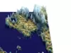
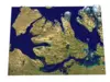
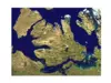
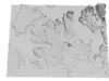
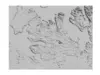
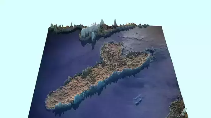
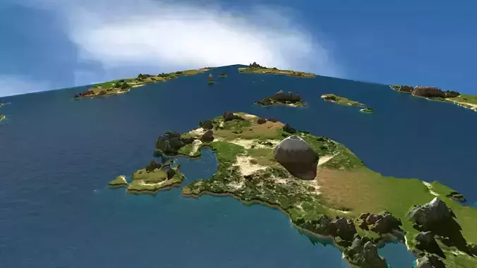
DescriptionVictoria Island (Inuinnaqtun: Kitlineq) is a large island in the Arctic Archipelago that straddles the boundary between Nunavut and the Northwest Territories of Canada. It is the eighth-largest island in the world, and at 217,291 km2 (83,897 sq mi)1 in area, it is Canada's second-largest island. It is nearly double the size of Newfoundland (111,390 km2 [43,010 sq mi]), and is slightly larger than the island of Great Britain (209,331 km2 [80,823 sq mi]) but smaller than Honshu (225,800 km2 [87,200 sq mi]). The western third of the island lies in the Inuvik Region of the Northwest Territories; the remainder is part of Nunavut's Kitikmeot Region. The population of 2,168 is divided between two settlements, the larger of which is Cambridge Bay (Nunavut) and the other Ulukhaktok (Northwest Territories). The island is named after Queen Victoria, the Canadian sovereign from 1867 to 1901 (though she first became Queen in 1837). The features bearing the name Prince Albert are named after her consort, Albert. Victoria Island was inhabited by the Thule culture, with five prehistoric qamutiik (sleds) belonging to the Neoeskimo culture being found on the Wollaston Peninsula, dating to 1250–1573 AD. The Inuinnaqtun name for the island is Kitlineq, with the local Inuit called Kitlinermiut (Copper Inuit). In 1826 John Richardson was the first European to see the southwest coast and called it Wollaston Land.[9] In 1839, Peter Warren Dease and Thomas Simpson followed its southeast coast and called it Victoria Land. A map published by John Barrow in 1846 shows a complete blank from these two lands north to Banks Land which is the north coast of Banks Island. In 1851 John Rae charted its entire south coast and connected the two lands. In 1850 and 1851 Robert McClure circumnavigated most of Banks Island, thereby separating it from the rest of Victoria Land. His men also charted the northwest and west coasts of Victoria Island. One of Roald Amundsen's men, Godfred Hansen, charted its east coast as far as Cape Nansen in 1905 and in 1916 and 1917 Storker T. Storkerson, of Vilhjalmur Stefansson's Canadian Arctic Expedition, charted its northeast coast, sighting the Storkerson Peninsula. In 2008 Clark Carter and Chris Bray became the first recorded people to walk across Victoria Island. Their first attempt at the 1,000 km (620 mi) trek in 2005 failed, so they returned and completed the remaining 660 km (410 mi) in 2008.
Texture Resolution: 1280 x 948