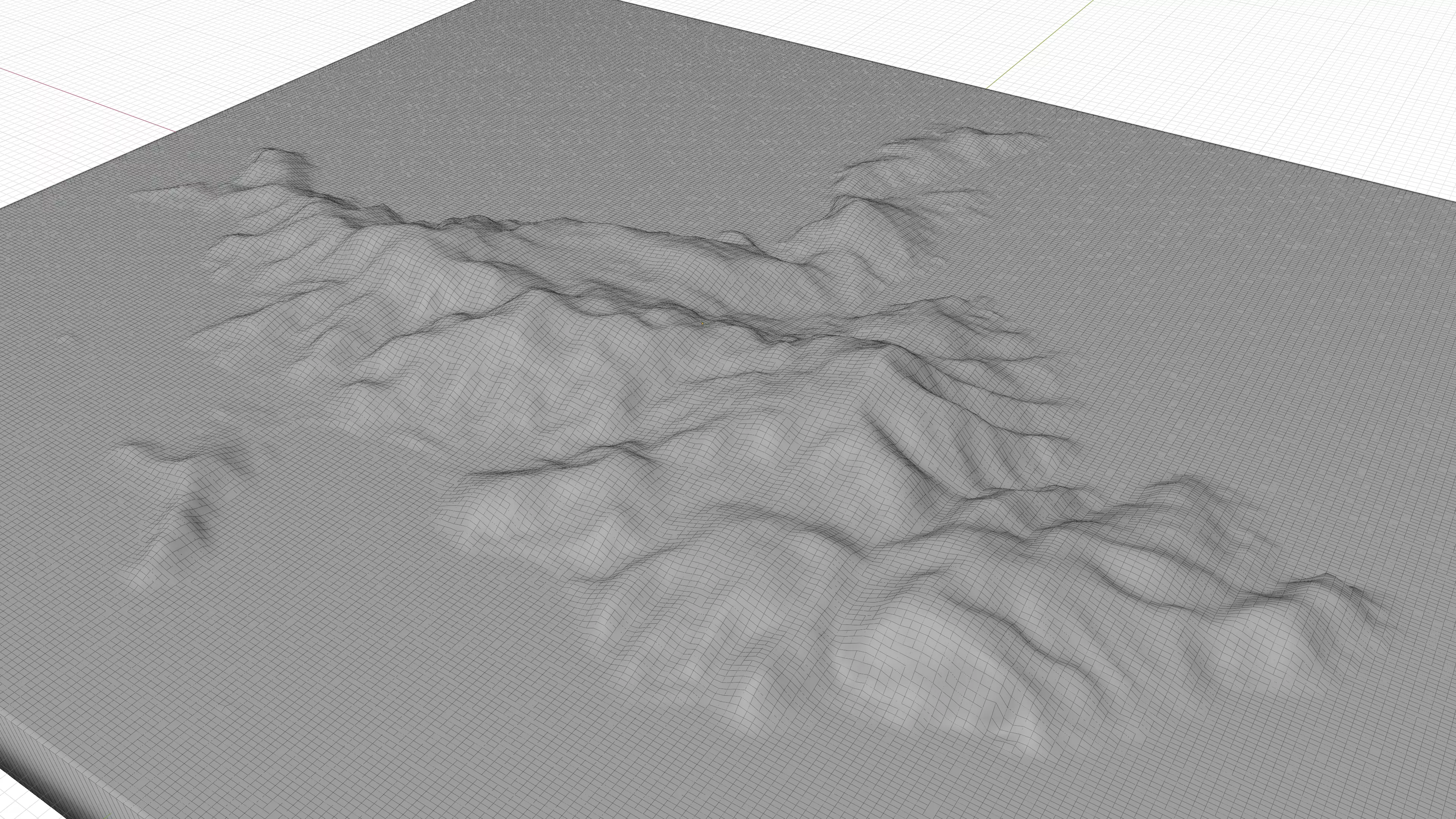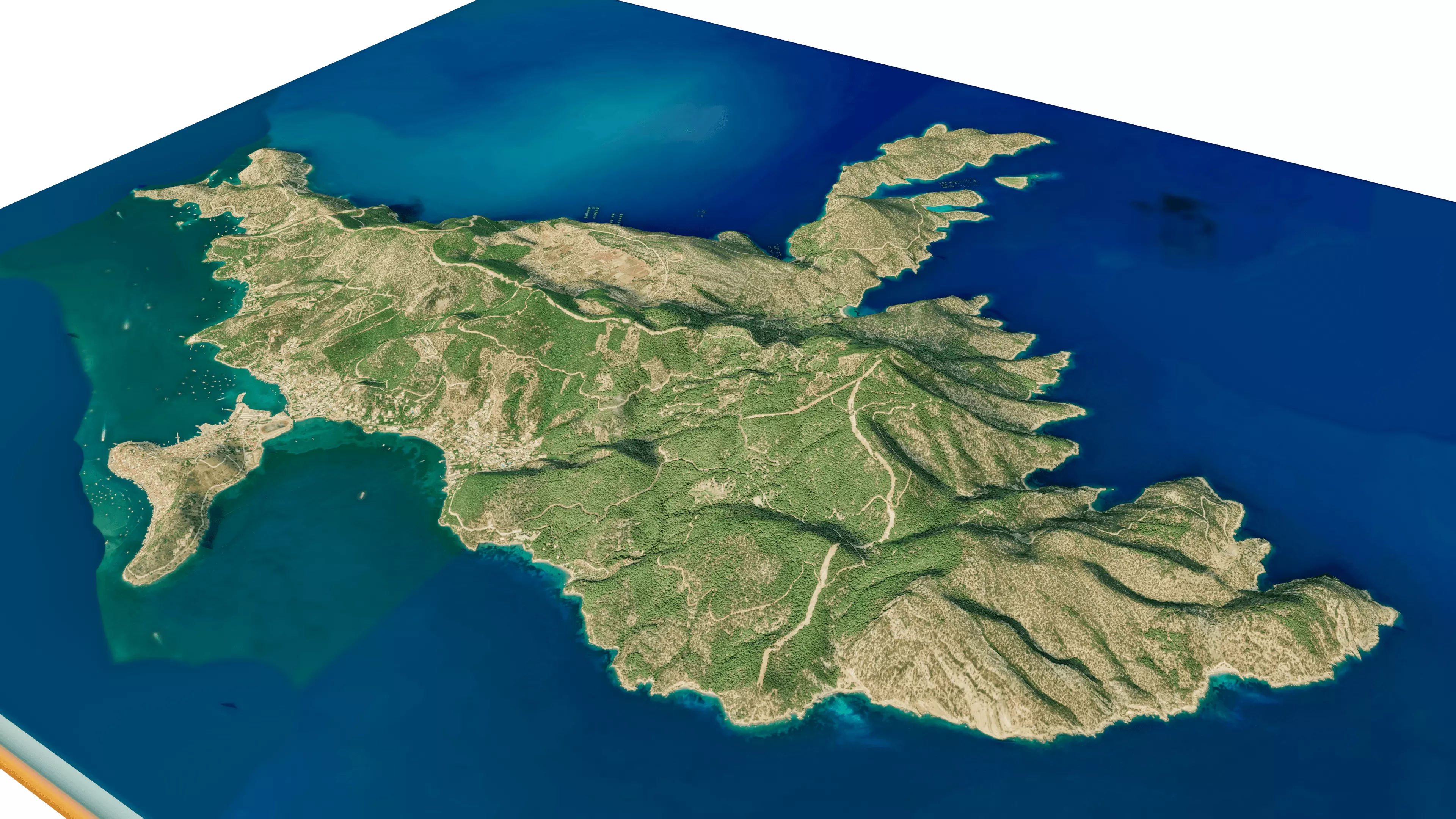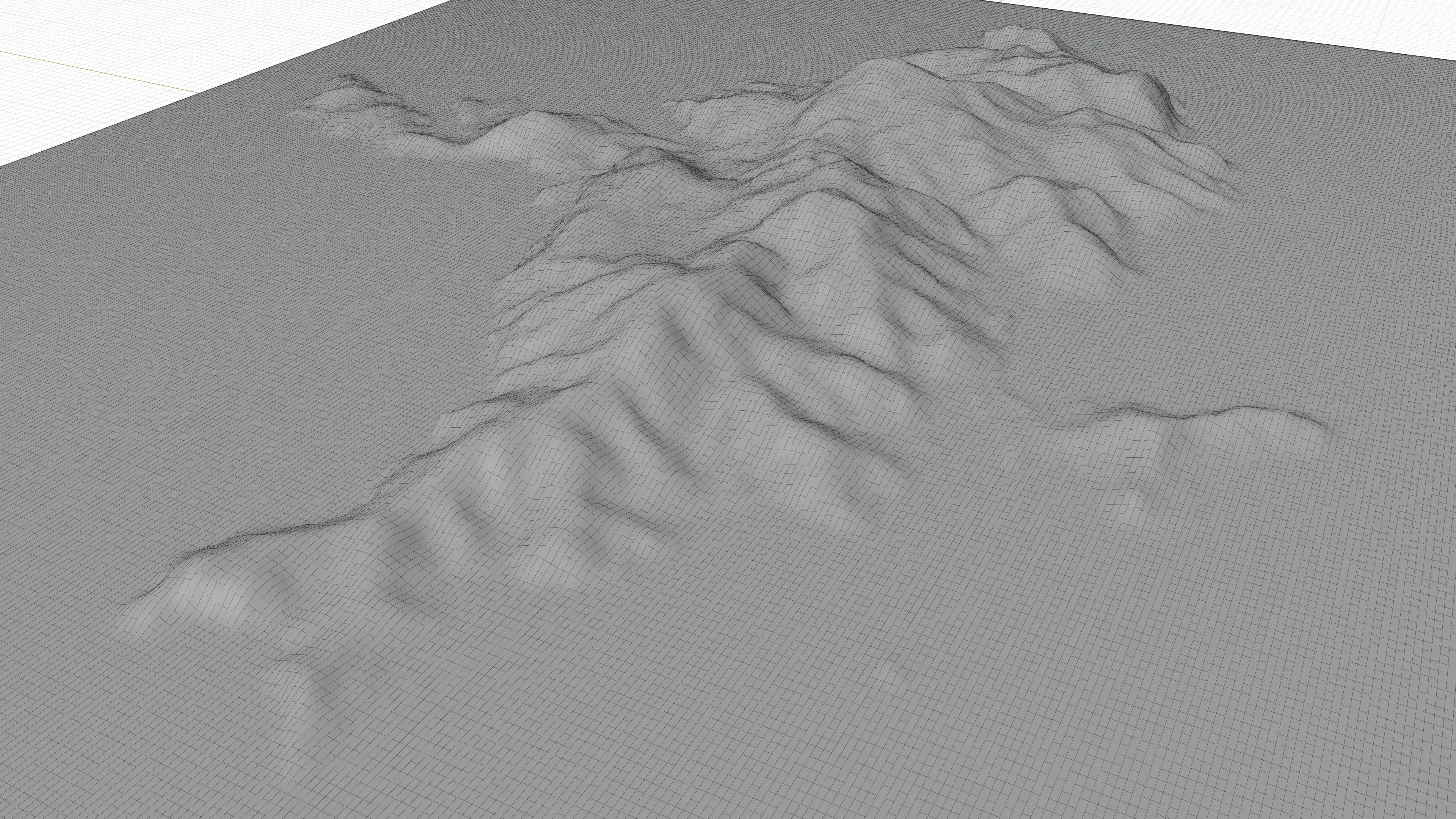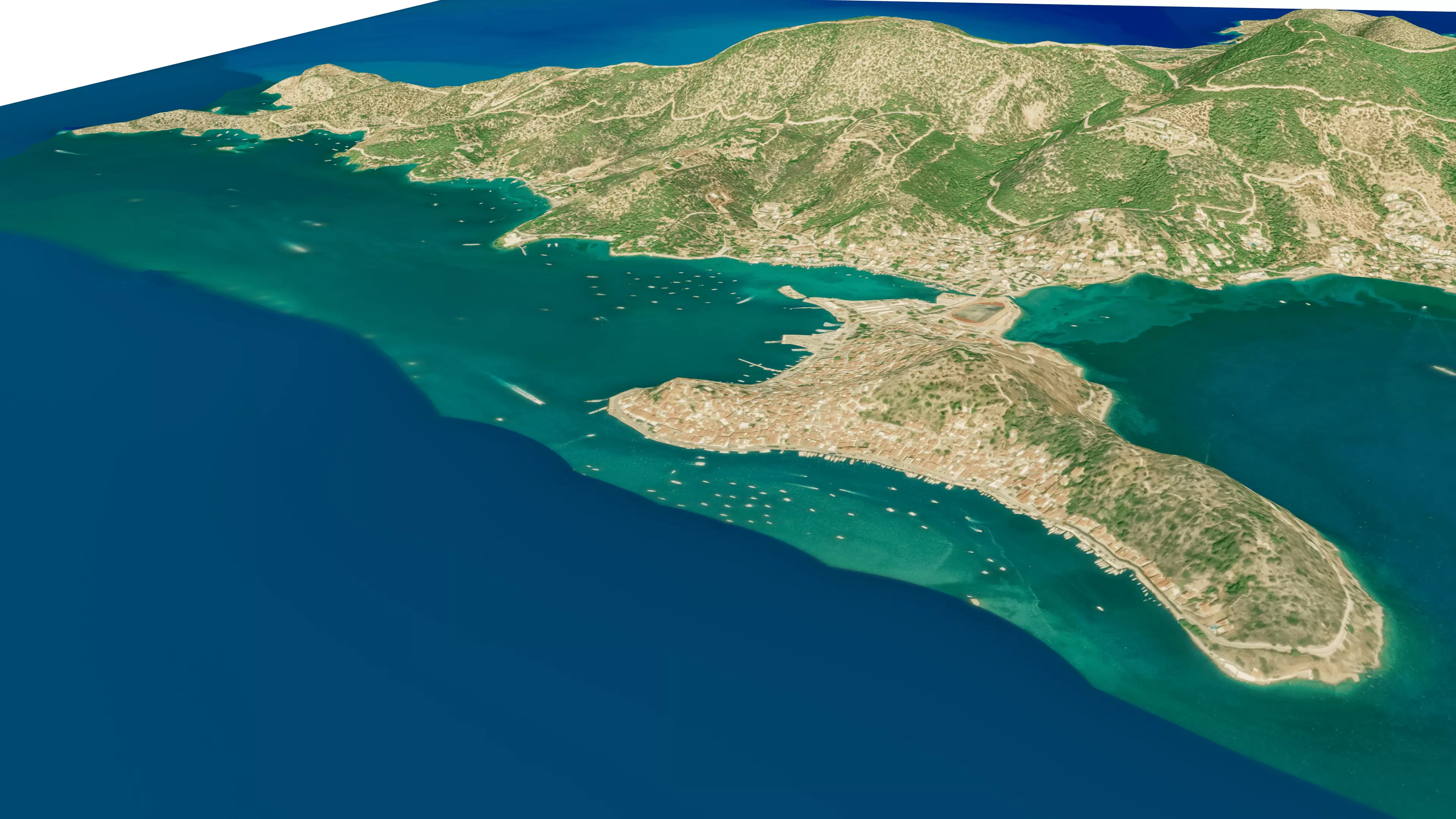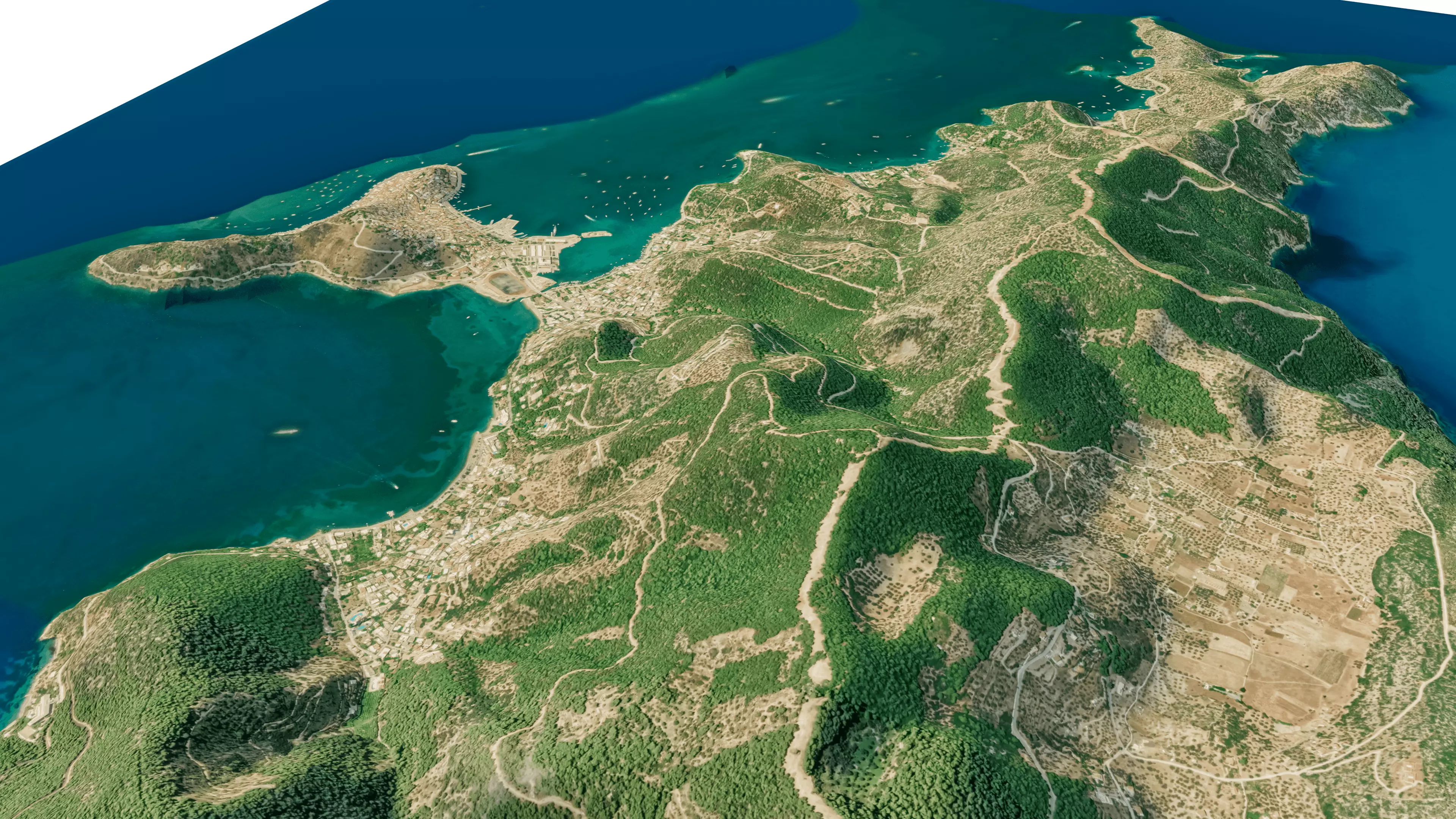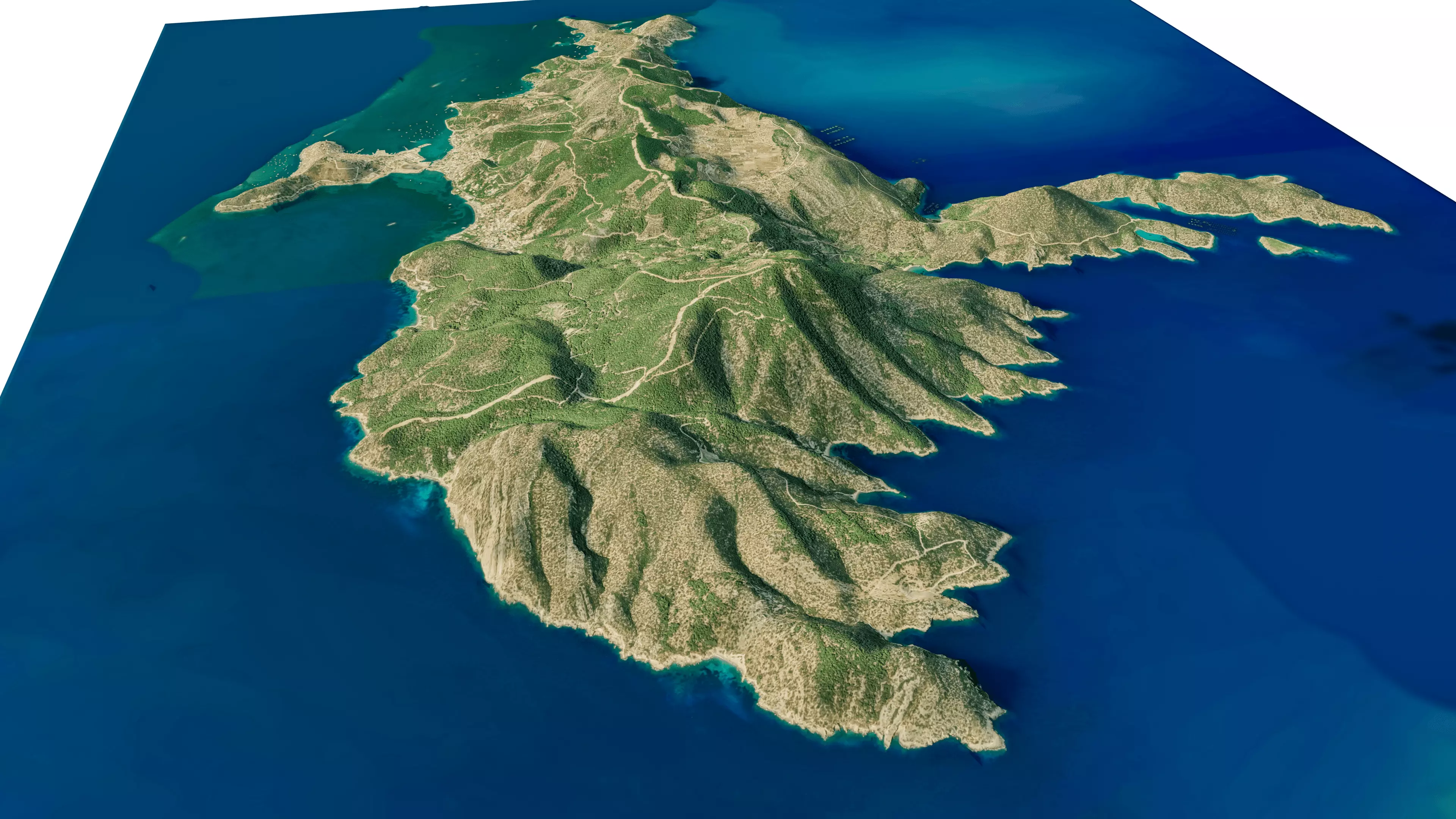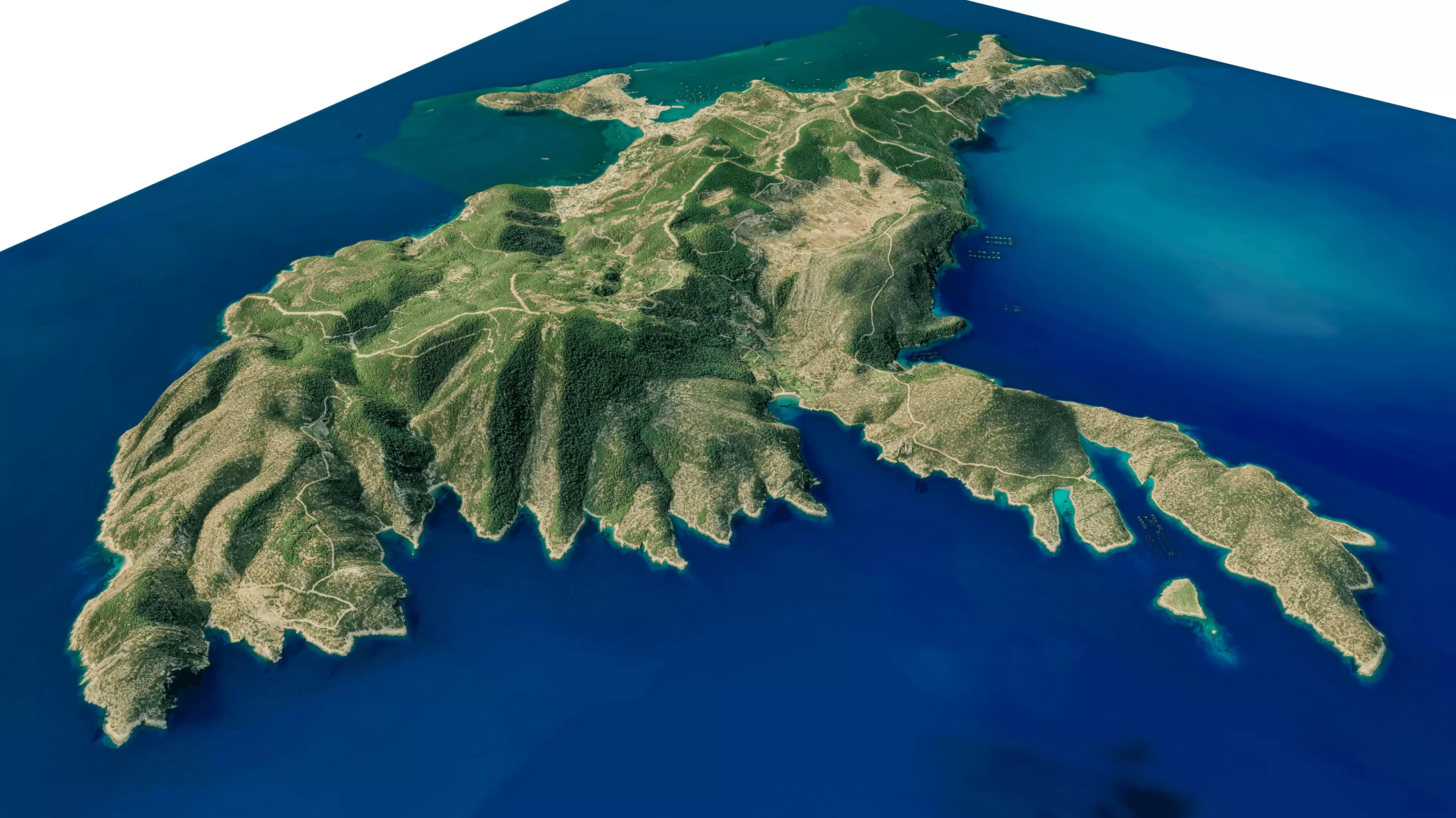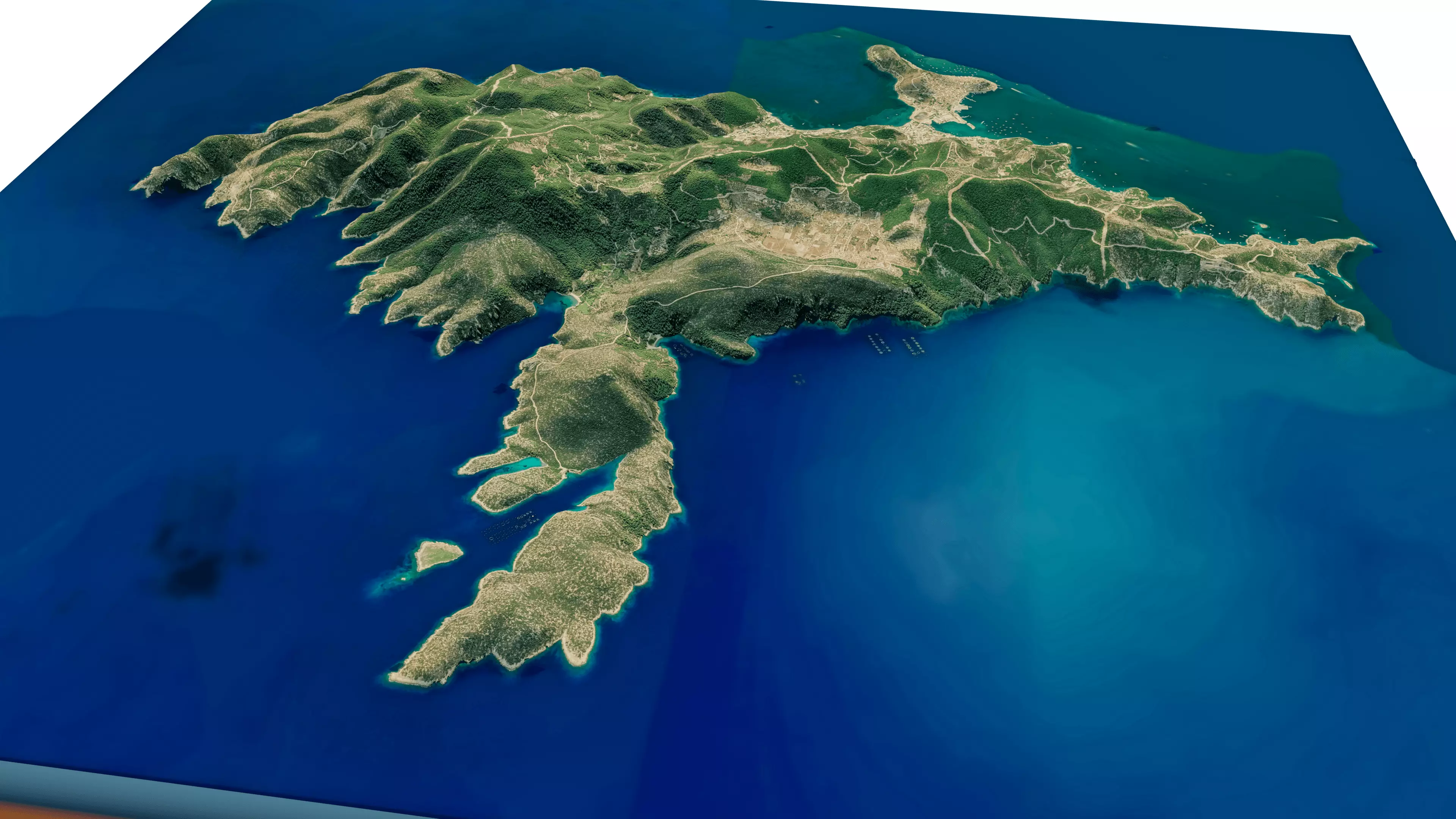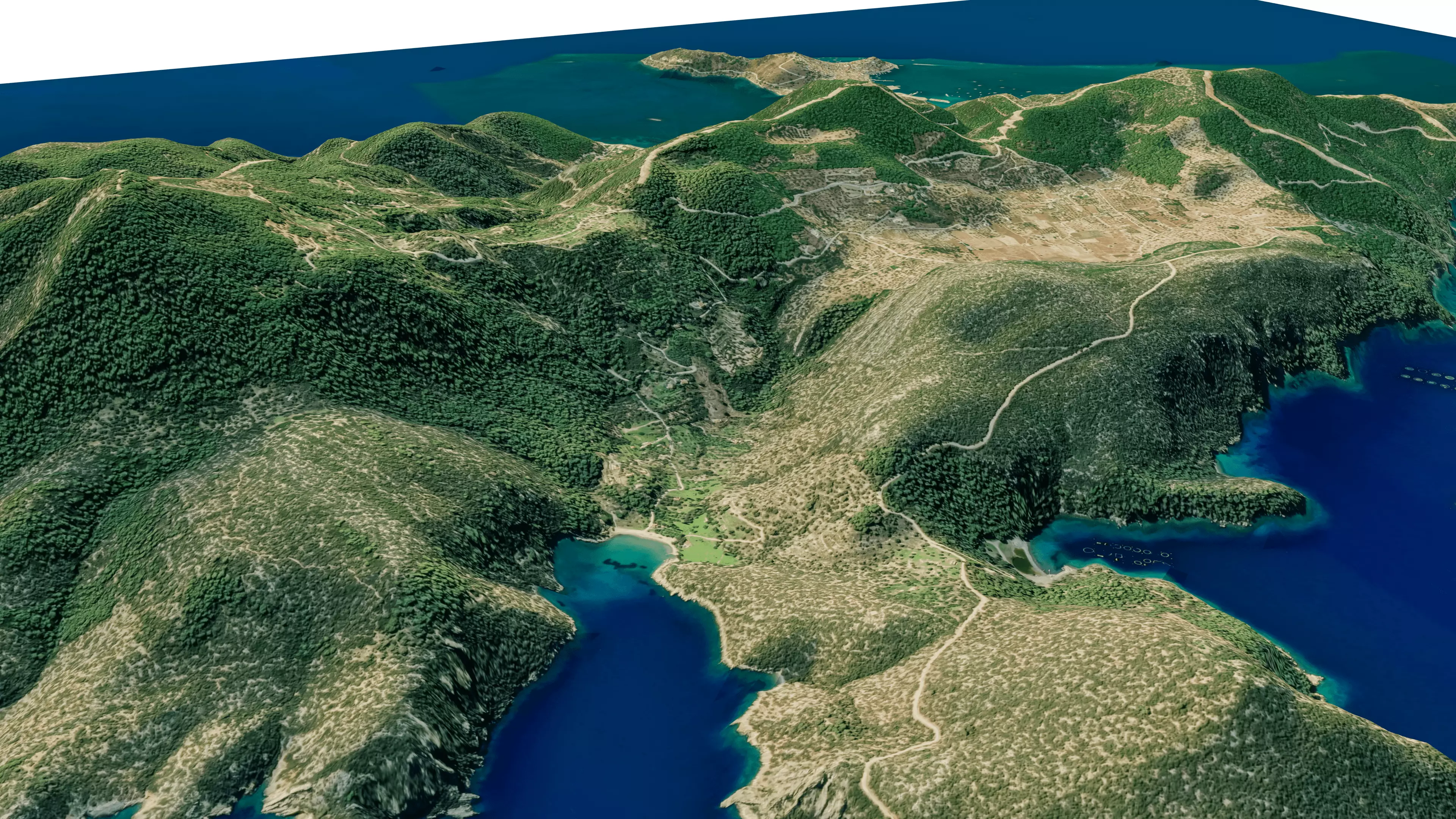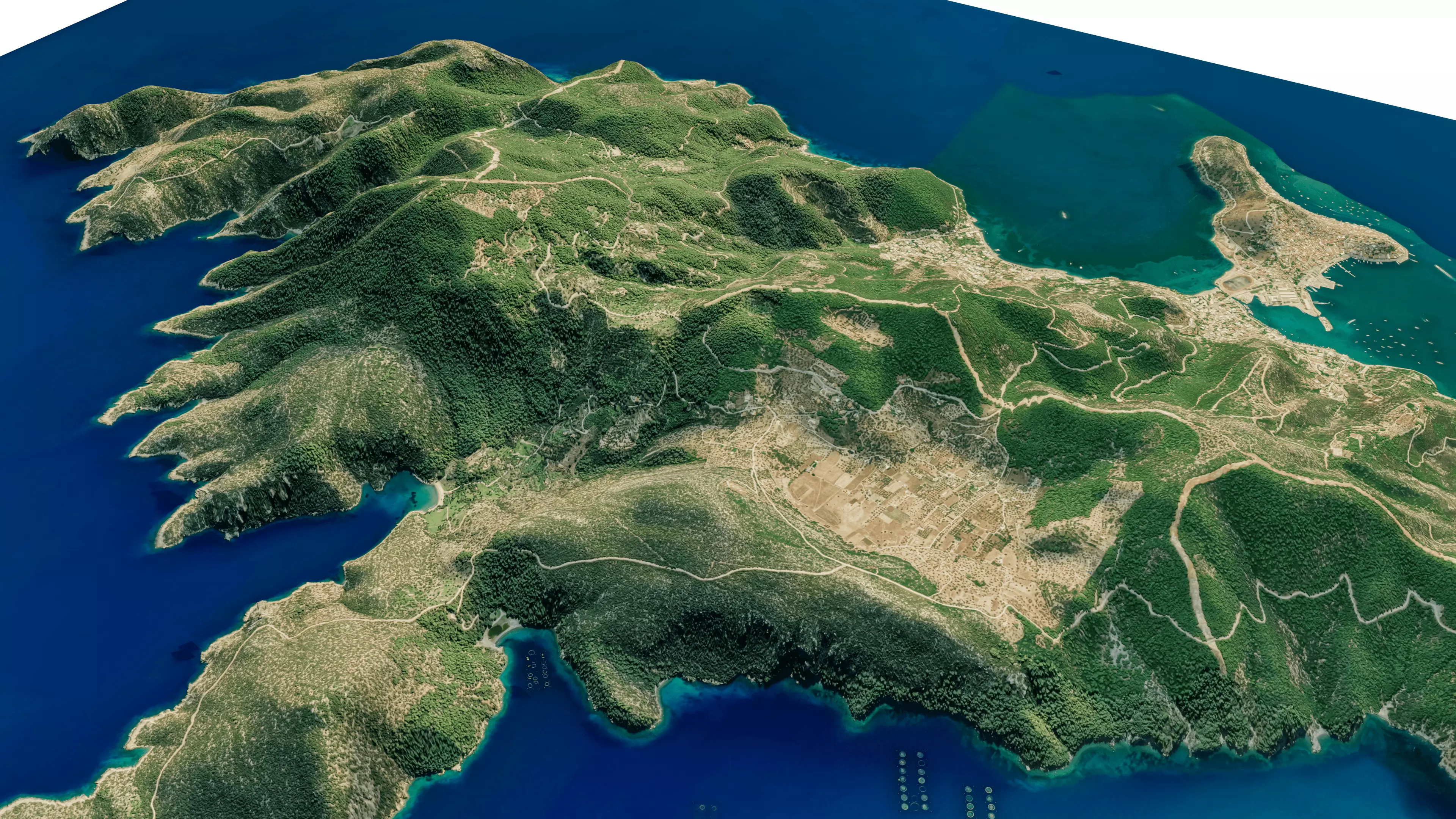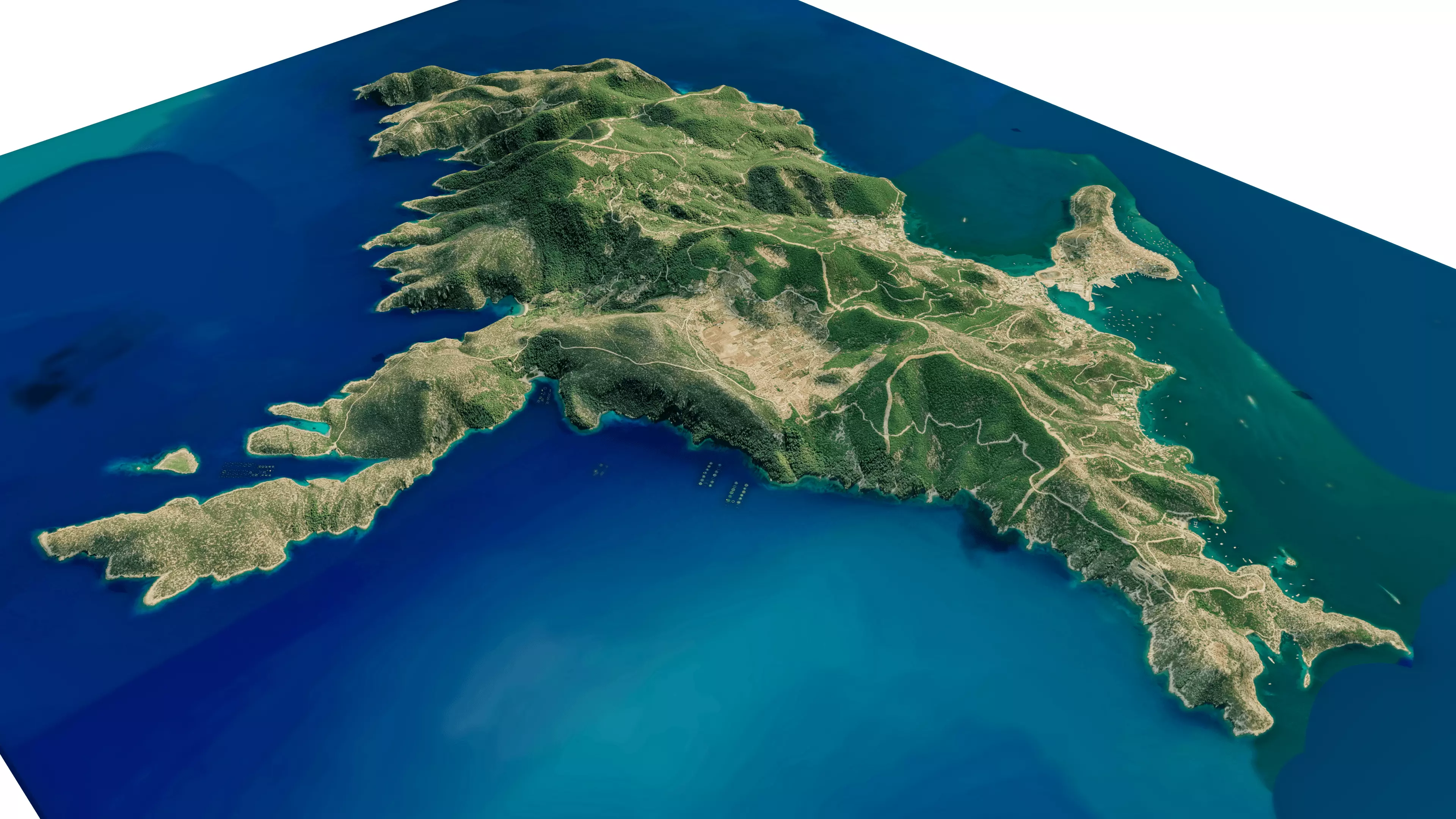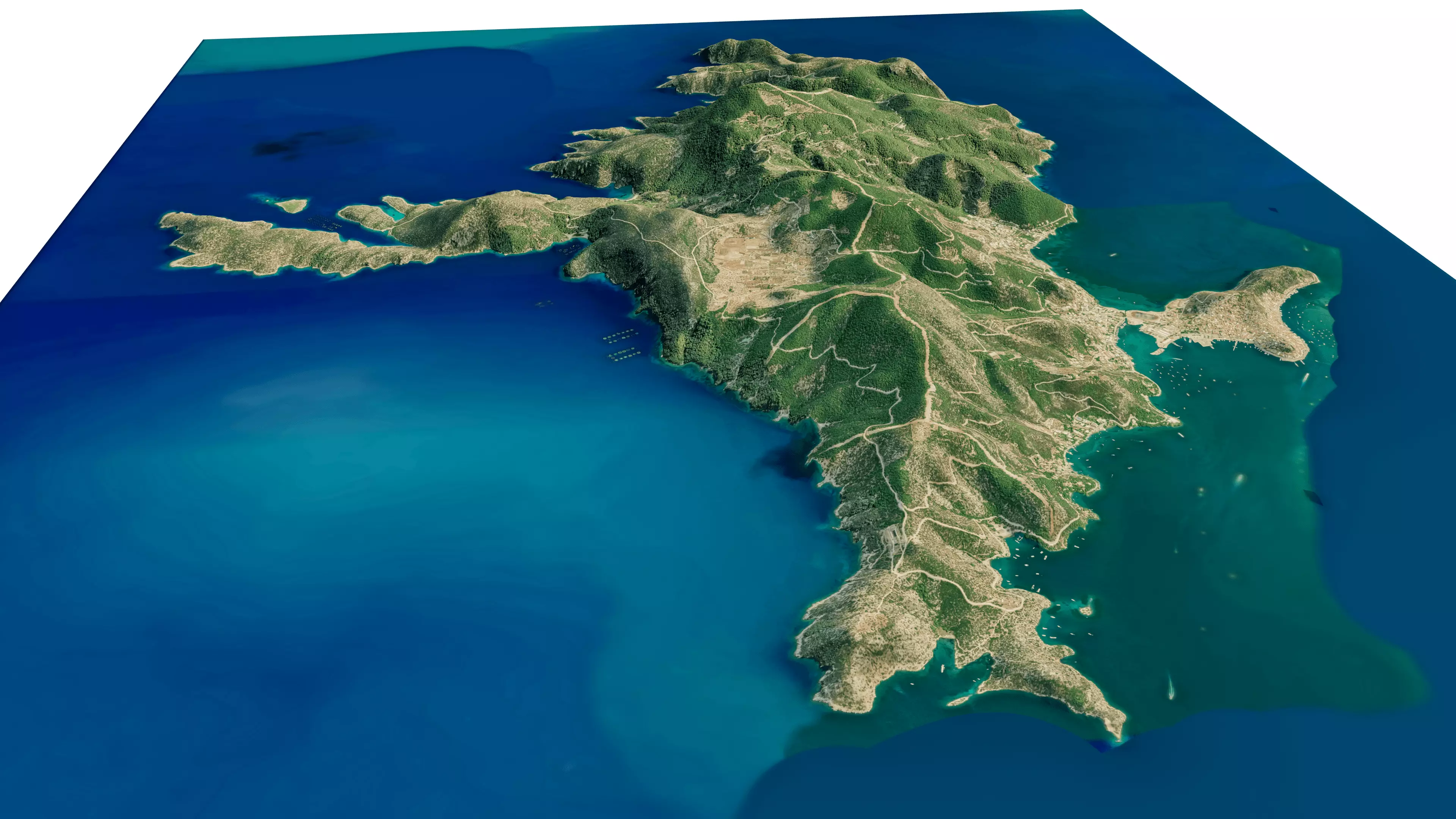
Poros Island 3D model terrain Low-poly 3D model
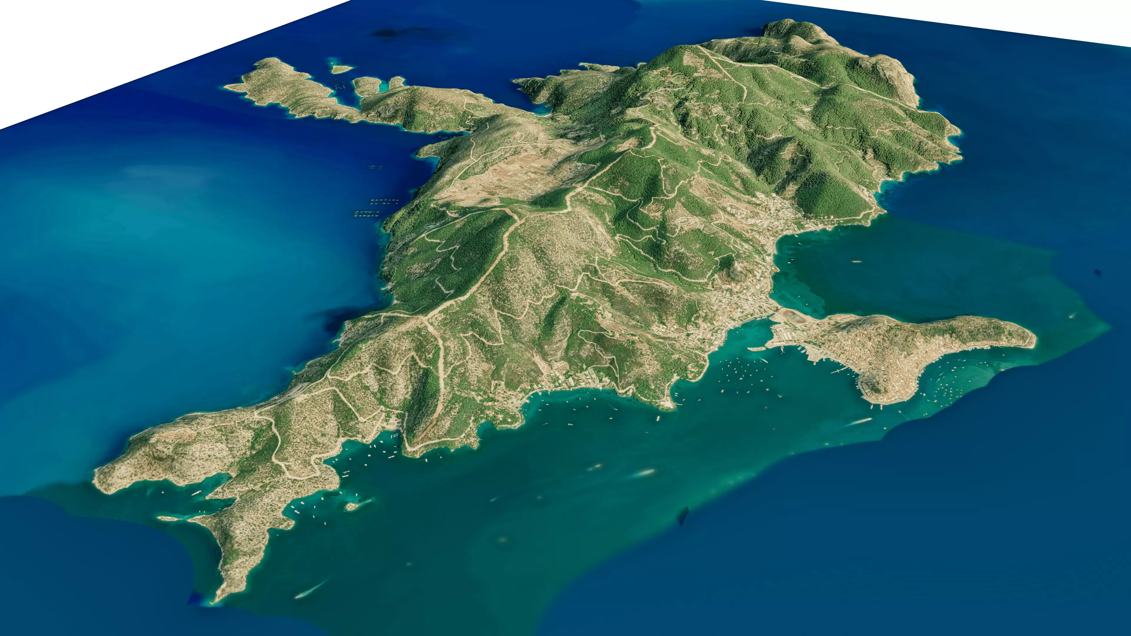
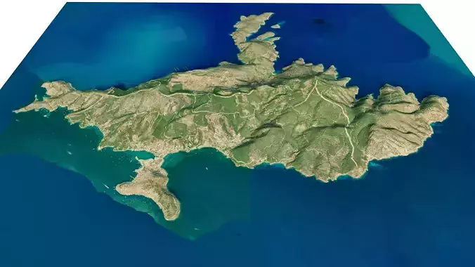
Poros Island 3D model terrain. 3d model island of Poros, Greece with its landscape of mountains, beaches and forests.
3d model landscape of Poros Island, Saronic Islands, Attica, Aegean Sea, Greece.
High Poly meshHigh detailed model
with 10K textures
- Diffuse map
- AO map
- Displacement map
- Normal map
- Roughness map
The Blend file do not require the displacement, but you can still use it if you want to create other terrain model yourself
texture example from the Poros Island, Saronic Islands, Attica, Aegean Sea, Greece. Poros is a small Greek island-pair in the southern part of the Saronic Gulf, about 58 km south of the port of Piraeus and separated from the Peloponnese by a 200 m wide sea channel, with the town of Galatas on the mainland across the strait. Its surface area is about 31 square kilometres and it has 3,261 inhabitants. Poros is an island with rich vegetation. Much of the northern and far eastern/western sides of the island are bushy, whereas large areas of old pine forest are found in the south and center of the island.

