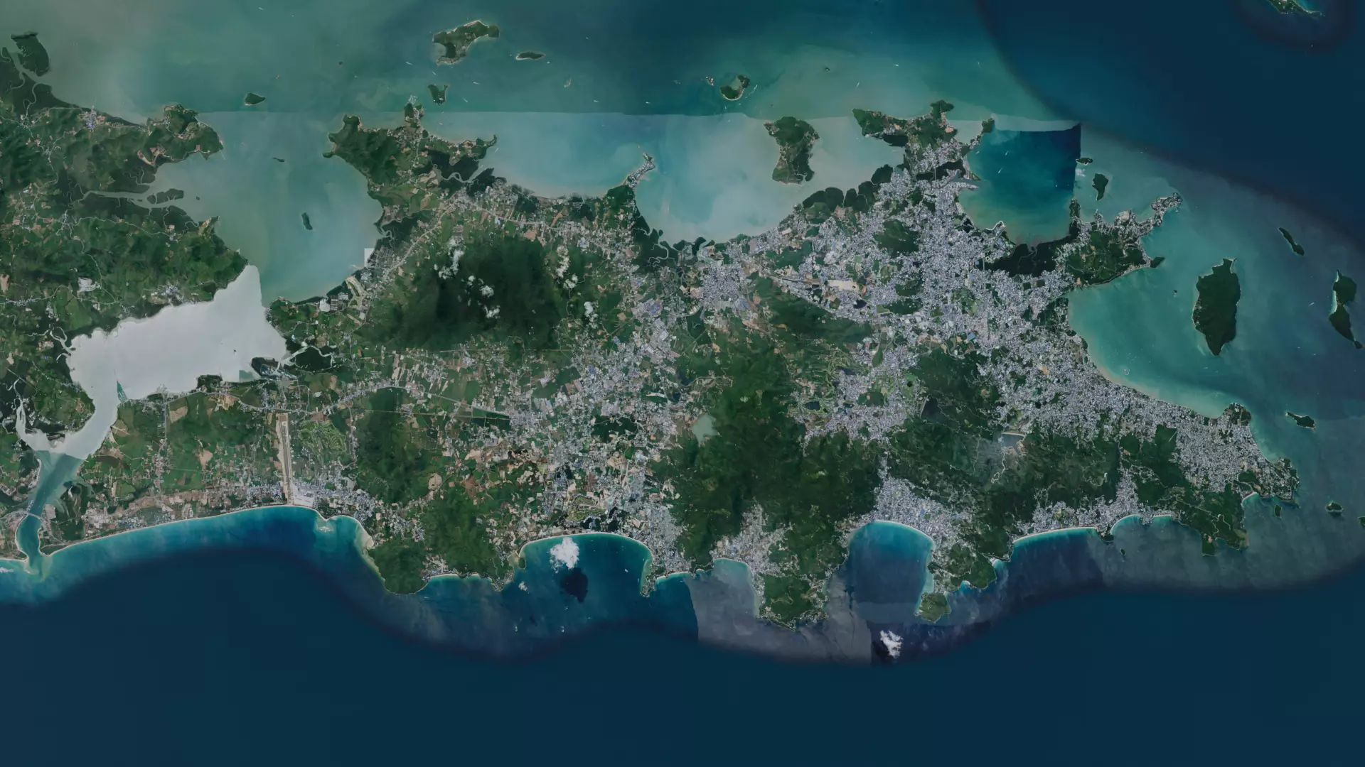
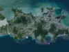
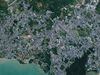
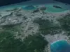
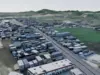
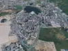
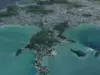
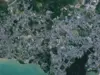
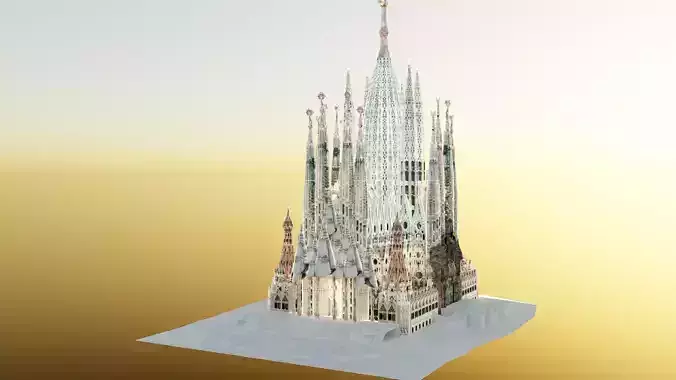
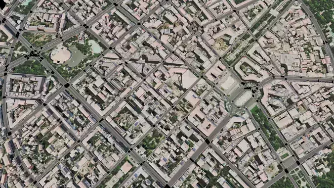
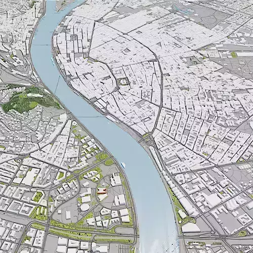
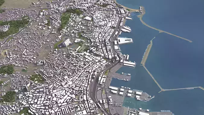
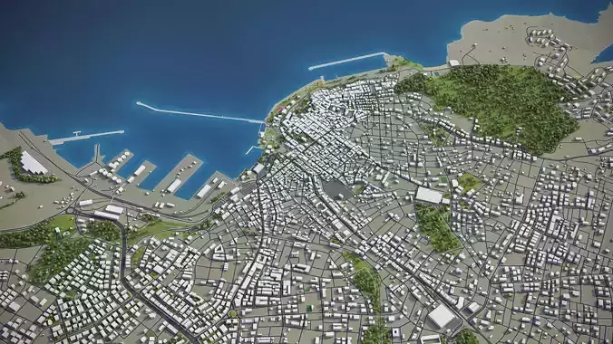
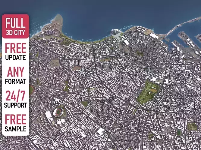
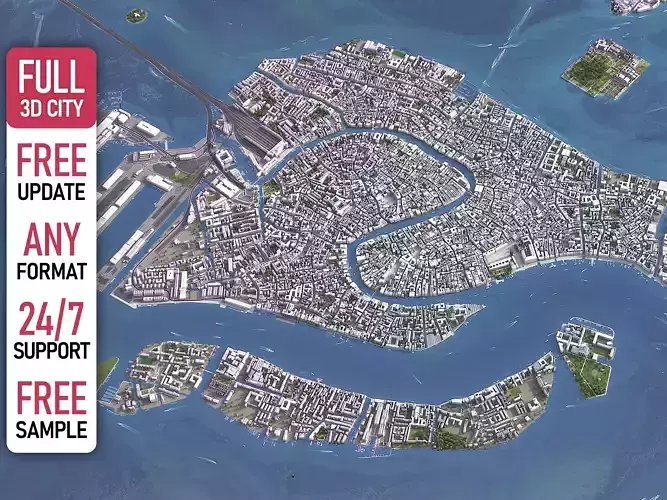
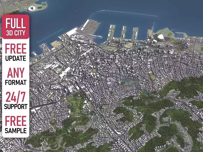
Bring one of Southeast Asia's most iconic landscapes into your project with this highly accurate 3D Digital Twin of Phuket. Modeled using the latest OSM (OpenStreetMap) and GIS data, this model offers a 1:1 real-world scale representation of the island’s complex urban layout and natural topography.
Why Choose This Model?
- Data-Driven Accuracy: Unlike procedurally generated cities, this model is built on real-world building footprints and geospatial anchors, ensuring every street and structure is in its exact geographical location.
- Vast Scale & Coverage: Includes the entire urban extent, covering major infrastructure from the Phuket International Airport to the dense residential and resort areas of Patong, Karon, and Phuket Town.
- Professional Utility: Perfect for urban spatial planning, environmental impact analysis, and traffic mobility simulations.
- Ready for Modern Engines: Optimized for seamless integration into Unreal Engine 5 (with Nanite support), Unity, and specialized GIS platforms like Cesium.
Ideal Use Cases:
- Urban Planning & Architecture: Visualize new developments within the context of the existing city.
- Simulation & Logistics: Test drone delivery paths, emergency response routes, or autonomous vehicle navigation using real-world geometry.
- Game Development: An expansive, ready-made environment for open-world games or flight simulators.
- Environmental Research: Analyze coastal flooding risks or vegetation density across the island.
Nots: The textures are embeded wtih fbx and blend file. So there has no chance of missing any textures. The base texture has upscaled to 11655 X 20480. Open base map material in blender shader editor you will get 3 types of map with idle node. And for fbx just extract the texture into same directory texture folder or anu folder you like. BUT TEXTURES ARE THERE.