1/14
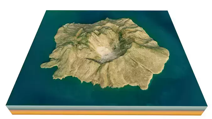
Nisyros Island 3D model terrain. 3d model island of Nisiros, Greece with its landscape of mountains, beaches and forests.
3d model landscape of Nisiros Island, Dodecanese Islands, Kos, Aegean Sea, Greece.
High Poly meshHigh detailed model
with 10K textures
- Diffuse map
- AO map
- Displacement map
- Normal map
- Roughness map
The Blend file do not require the displacement, but you can still use it if you want to create other terrain model yourself
texture example from the Nisiros Island, Dodecanese Islands, Kos, Aegean Sea, Greece. Nisyros, also spelled Nisiros, is a volcanic Greek island and municipality located in the Aegean Sea. It is part of the Dodecanese group of islands, situated between the islands of Kos and Tilos. Its shape is approximately round, with a diameter of about 8 km, and an area of 41.6 km². The island has a 3–4-kilometre-wide caldera, and was formed within the past 150,000 years, with three separate eruptive stages, ranging from explosive and effusive andesitic eruptions to explosive and effusive dacitic and rhyolitic activity.
REVIEWS & COMMENTS
accuracy, and usability.


