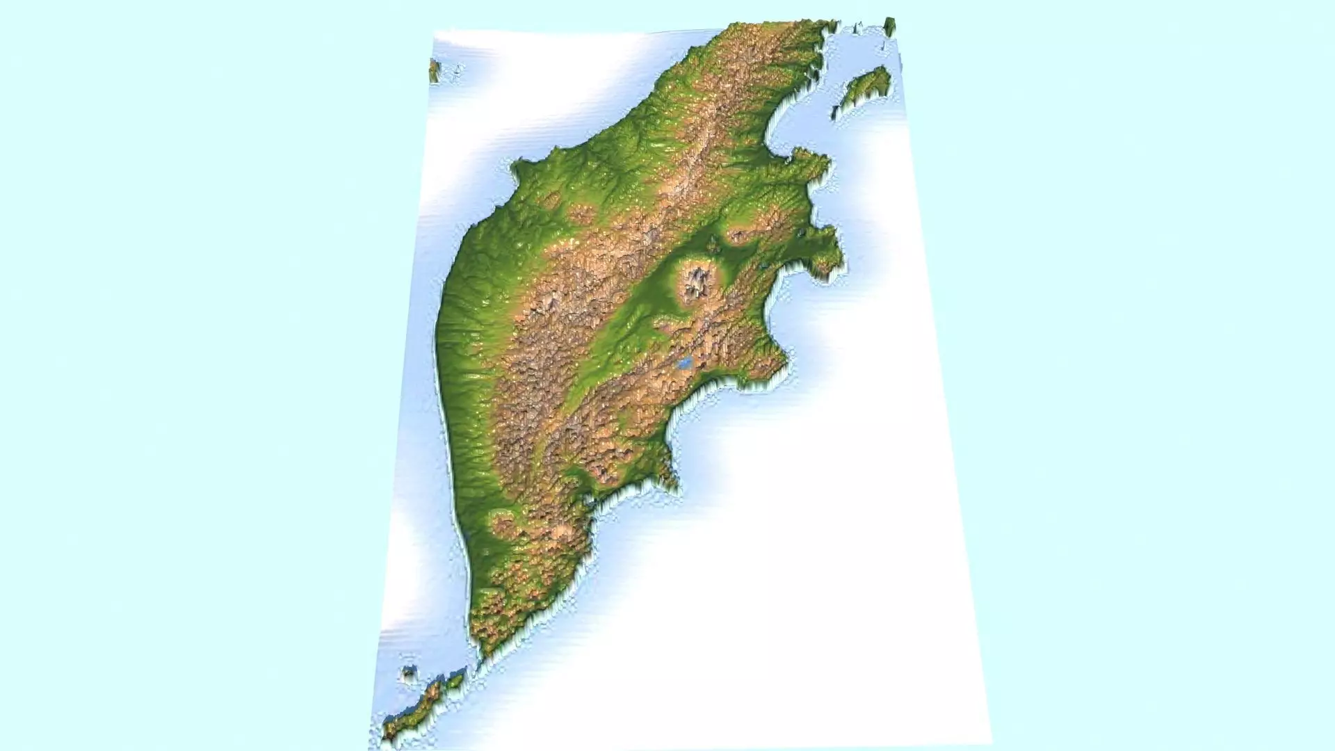
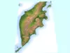
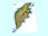
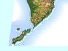
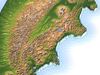
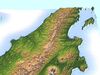
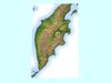
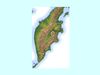
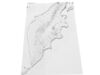
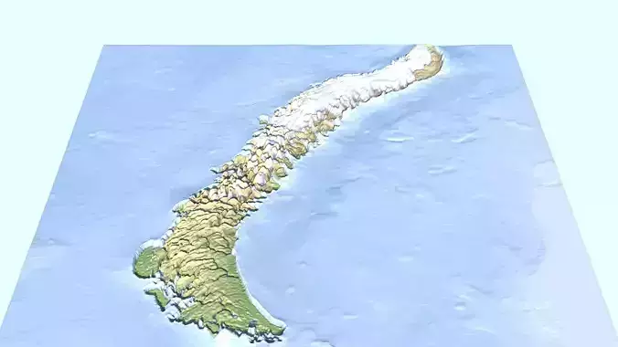
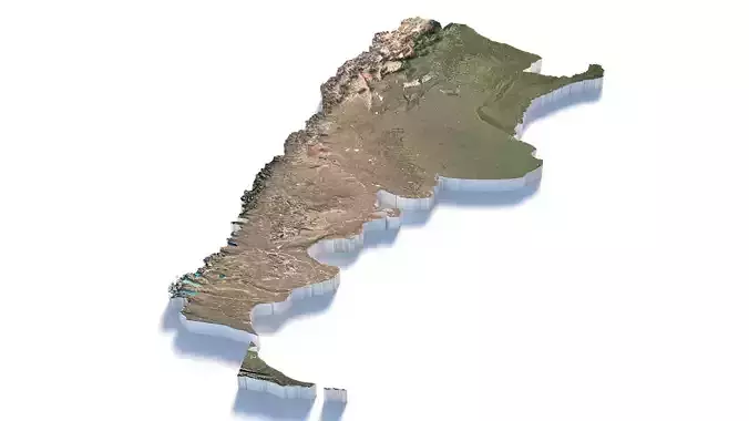
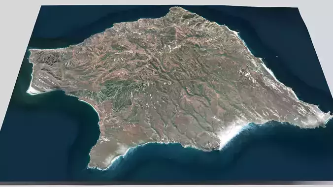
DescriptionKamchatka Peninsula. The Kamchatka Peninsula (Russian: полуостров Камчатка, romanized: poluostrov Kamchatka, pronounced [pəlʊˈostrəf kɐmˈt͡ɕætkə]) is a 1,250-kilometre-long (777 mi) peninsula in the Russian Far East, with an area of about 270,000 km2 (100,000 sq mi). The Pacific Ocean and the Sea of Okhotsk make up the peninsula's eastern and western coastlines, respectively. Immediately offshore along the Pacific coast of the peninsula runs the 9,600-metre-deep (31,496 ft) Kuril–Kamchatka Trench. The Kamchatka Peninsula, the Commander Islands, and Karaginsky Island constitute Kamchatka Krai of the Russian Federation. The majority of the 322,079 inhabitants are ethnic Russians, with about 13,000 being Koryaks (2014). More than half of the population lives in Petropavlovsk-Kamchatsky (179,526 in 2010) and nearby Yelizovo (38,980). The Kamchatka Peninsula contains the volcanoes of Kamchatka, a UNESCO World Heritage Site. Politically, the peninsula forms part of Kamchatka Krai. The southern tip is called Cape Lopatka. (Lopatka is Russian for spade.) The circular bay to the north of this on the Pacific side is Avacha Bay, home to the capital, Petropavlovsk-Kamchatsky. Northward up the Pacific side, the four peninsulas are called Shipunsky Point, Kronotsky Point, Kamchatsky Point, and Ozernoy Point. North of Ozernoy Point is the large Karaginsky Bay, which features Karaginsky Island. Northeast of this (off the displayed map) lies Korfa Bay with the town of Tilichiki. On the opposite side is the Shelikhov Gulf. he Kamchatka or Central (Sredinny) Range forms the spine of the peninsula. Along the southeast coast runs the Eastern Range (Vostochny). Between these lies the central valley. The Kamchatka River rises northwest of Avacha and flows north down the central valley, turning east near Klyuchi to enter the Pacific south of Kamchatsky Point at Ust-Kamchatsk. In the 19th century, a trail led west from near Klychi over the mountains to the Tegil river and town, which was the main trading post on the west coast. North of Tegil is Koryak Okrug. South of the Tegil is the Icha River. Just south of the headwaters of the Kamchatka, the Bistraya River curves southwest to enter the Sea of Okhotsk at Bolsheretsk, which once served as a port connecting the peninsula to Okhotsk. South of the Bistraya flows the Golygina River. Petropavlovsk-Kamchatsky and the settlements in the central part of the peninsula are connected by highway to Ust-Kamchatsk. The road is asphalt in its southern part, but changes to gravel about halfway north where the population is sparser. Another highway connects the local capital with Bolsheretsk. Bus service is available on both roads. Most other roads are gravel-covered or dirt roads, requiring off-road-capable vehicles. There is semi-regular passenger transportation with aircraft. The obvious circular area in the central valley is the Klyuchevskaya Sopka, an isolated volcanic group southeast of the curve of the Kamchatka River. West of Kronotsky Point is the Kronotsky Biosphere Reserve with the Valley of Geysers. At the southern tip is the Southern Kamchatka Wildlife Refuge with Kurile Lake. There are several other protected areas on the peninsula.
Texture Resolution: 220 x 383