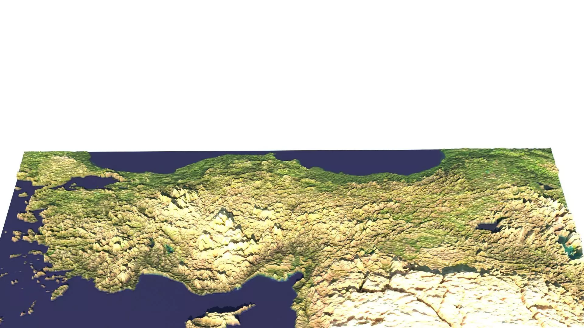
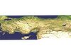
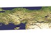
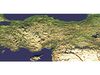
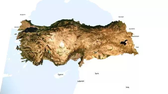
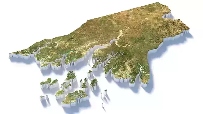
DescriptionAnatolian Peninsula. Anatolia (Turkish: Anadolu), also known as Asia Minor, is a peninsula in West Asia that makes up the majority of the land area of Turkey. It is the westernmost protrusion of Asia and is geographically bounded by the Mediterranean Sea to the south, the Aegean Sea to the west, the Turkish Straits to the northwest, and the Black Sea to the north. The eastern and southeastern limits have been expanded either to the entirety of Asiatic Turkey or to an imprecise line from the Black Sea to the Gulf of Alexandretta. Topographically, the Sea of Marmara connects the Black Sea with the Aegean Sea through the Bosporus and the Dardanelles, and separates Anatolia from Thrace in Southeast Europe. During the Neolithic, Anatolia was an early centre for the development of farming after it originated in the adjacent Fertile Crescent. Beginning around 9,000 years ago, there was a major migration of Anatolian Neolithic Farmers into Europe, with their descendants coming to dominate the continent as far west as the Iberian Peninsula and the British Isles. The earliest recorded inhabitants of Anatolia, who were neither Indo-European nor Semitic, were gradually absorbed by the incoming Indo-European Anatolian peoples, who spoke the now-extinct Anatolian languages. The major Anatolian languages included Hittite, Luwian, and Lydian; other local languages, albeit poorly attested, included Phrygian and Mysian. The Hurro-Urartian languages were spoken throughout Mitanni in the southeast, while Galatian, a Celtic language, was spoken throughout Galatia in the central peninsula. Among the other peoples who established a significant presence in ancient Anatolia were the Galatians, the Hurrians, the Assyrians, the Armenians, the Hattians, and the Cimmerians, as well as some of the ancient Greek tribes, including the Ionians, the Dorians, and the Aeolians. In the era of classical antiquity (see Classical Anatolia), the Anatolian languages were largely replaced by the Greek language, which came to further dominate the region during the Hellenistic period and the Roman period. The Byzantine period saw the decline of Greek influence throughout the peninsula as the Byzantine–Seljuk wars enabled the incoming Seljuk Turks to establish a foothold in the region. Thus, the process of Anatolia's Turkification began under the Seljuk Empire in the late 11th century and continued under the Ottoman Empire until the early 20th century, when the Ottoman dynasty collapsed in the aftermath of World War I. Between 1894 and 1924, millions of non-Turkic peoples and Christians were suppressed and removed by the Ottoman Turkish authorities from the bulk of the area of modern-day Turkey. Nonetheless, a variety of non-Turkic languages continue to be spoken by ethnic minorities in Anatolia today, including Arabic, Kurdish, Neo-Aramaic, Armenian, the North Caucasian languages, Laz, Georgian, and Greek.
Texture Resolution: 800 x 739