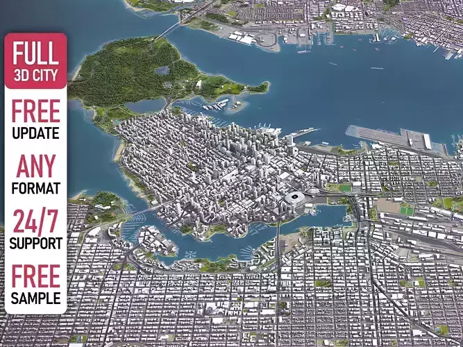
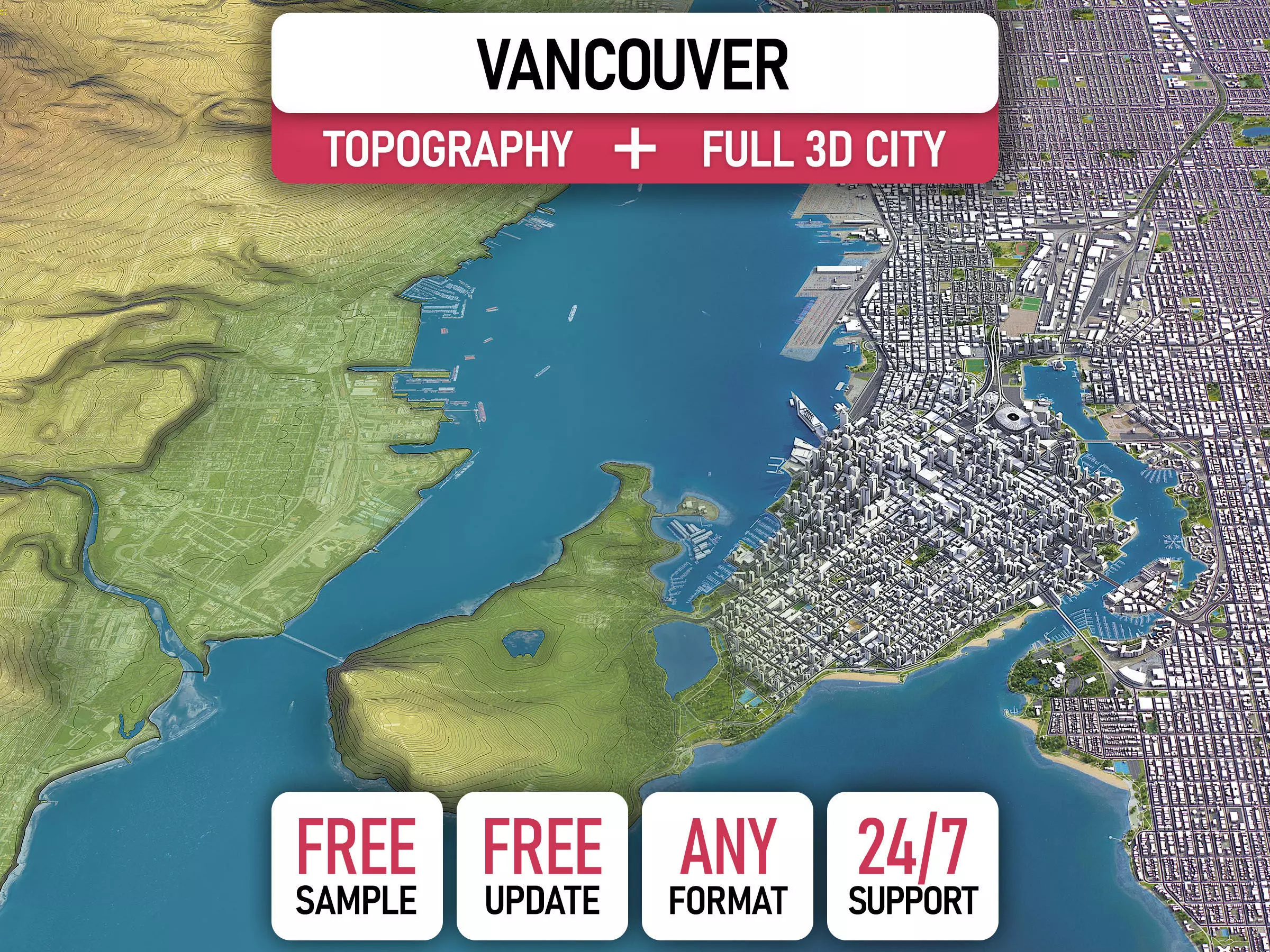
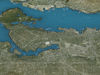
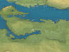
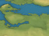
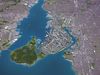
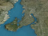
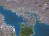
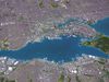
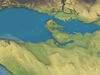
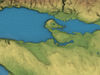
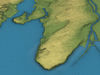
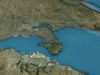
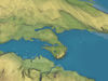
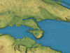
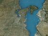
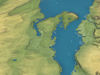
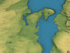
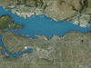
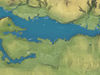
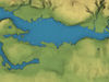
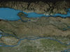
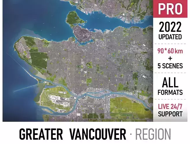
Vancouver - 3D City Topography Terrain low-poly 3d model
DESCRIPTION
TRY BEFORE YOU BUY
Experience the quality and detail of our 3D Topography Terrain before making a purchase
Get a FREE sample scene! — Message us with your preferred file format
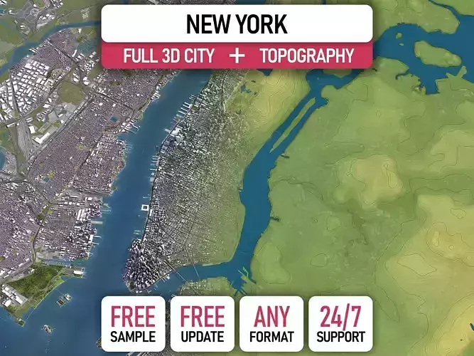
Instant Download — Grab an overview sample at www.each.city/sample
PRODUCT SPECIFICATIONS
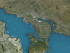
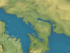
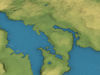
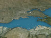
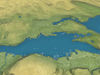
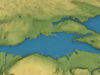
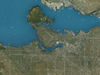
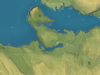
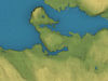
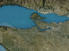
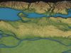
Area Size: 60 x 40 km — Covers the full terrain area for comprehensive analysis
Units: Meters — Real-world scale for accurate measurements
Scale: 1 : 1 — Accurate representation for precise modeling
Data Used: December 2024 — Ensuring up-to-date terrain information
WHAT IS INCLUDED
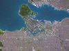
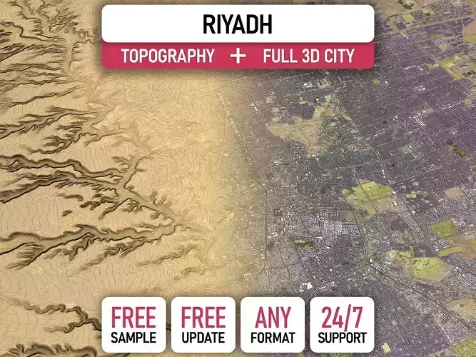
3D City Model — Flat scene without any terrain or elevation
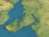
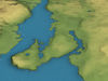
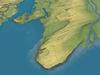
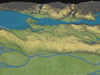
Topograhy Terrain — Standalone terrain without a city model:
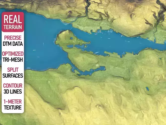
30-meter DTM — High-resolution raw terrain
Optimized Triangular Mesh — Separate land surface and water bodies
Contour Lines — 3D splines labeled by elevation
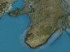
1-meter Satellite Texture
ORDER THE FULL PACKAGE
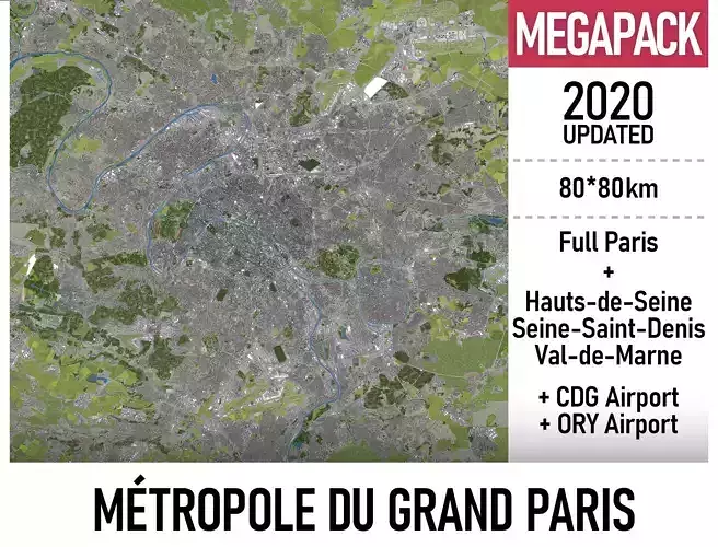
3D City Model Integrated with Terrain
100 sq km — from $999
400 sq km — from $1499
900 sq km — from $1999
Message us for a personalized quote!
ORDER CUSTOM OPTIONS
Enhance your terrain with our specialized 3D modeling services, offering customizations beyond the standard package. These options are available separately and priced accordingly
Higher Accuracy — Up to 1-meter digital terrain models for enhanced precision (availability varies depending on country-specific datasets)
Multiple Levels of Detail (LODs) — Optimized terrain meshes balancing detail and performance
Higher Resolution — Satellite imagery with up to 0.1-meter accuracy for superior texture quality
Increased Contour Lines Density — 3D contour lines with up to 1-meter intervals for finer topographical detail
Integrated Urban Features — Custom placement of buildings, roads, and vegetation on the terrain
3D Print Ready Models — Solid objects optimized for 3D printing applications
Additional File Formats — Support for specialized formats upon request