3D MODELS IN THIS COLLECTION

DESCRIPTION

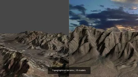
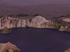
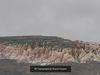
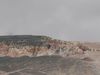
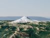
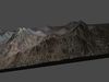
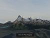
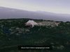
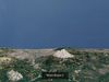
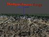
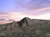
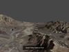
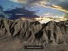
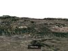
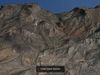
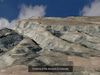
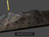
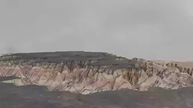
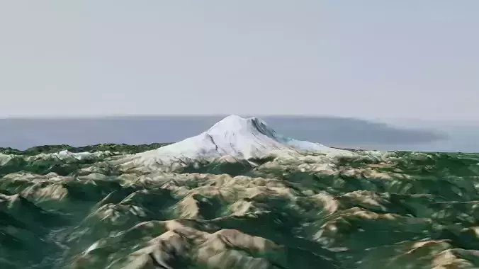
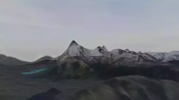
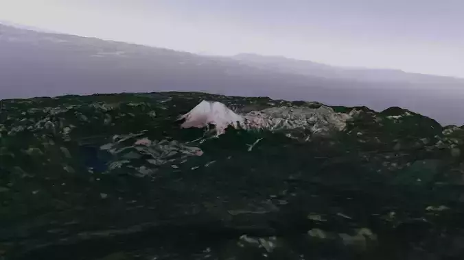
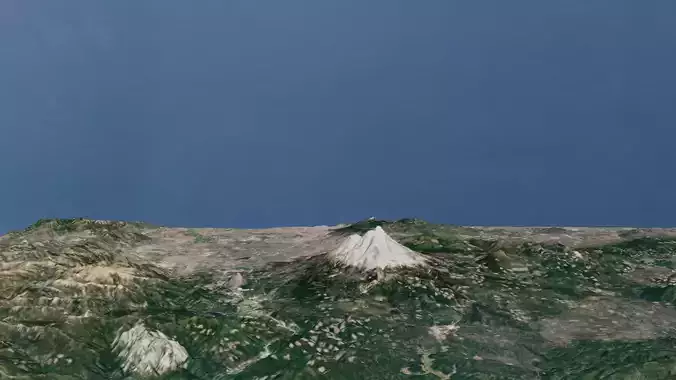
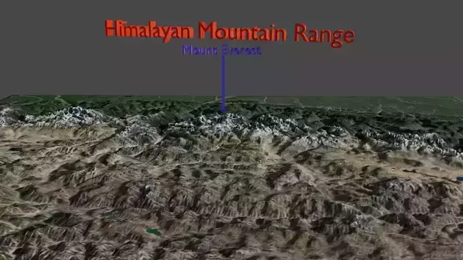
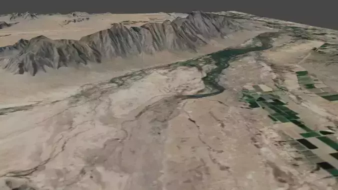
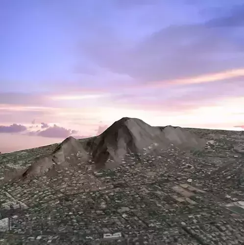
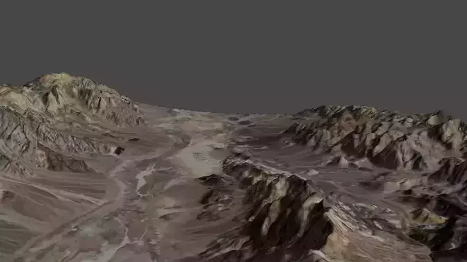
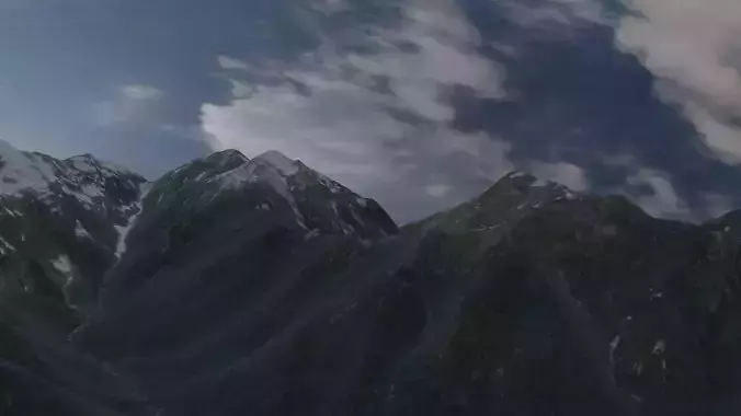
This is a collection of actual landscapes. Some are National Park areas which I have visited, and others are places I have been and found interesting. These topographical maps were created using Blender with a link to NASA for terrain elevations. These topo maps are useful if you plan on hiking in these areas. The detail is better with close-up views, and could be created using this system.

REVIEWS & COMMENTS

See what other buyers think about this model - real feedback on quality,
accuracy, and usability.
There are no reviews or comments yet. Please be the first one to write it.
BEST PRICE GUARANTEED
Found this model cheaper on another marketplace? Let our support team know - we’ll match it.

Topographical tarrains 3D Model Collection

Royalty Free License
Hire
Like this model to show appreciation to the designer.
See how many times this model was viewed.
Share this model to support the designer and boost their visibility.
Native file format
BLEND15 files
Size: 2.48 GB
Provided by designer
Information and details shared directly by the model's designer.
3D Features
Animated(0/15)
Rigged(0/15)
Low Poly(0/15)
PBR(0/15)
3D printing
Indicates whether the designer marked models as suitable for 3D printing.
Models are not 3D printable
The designer indicates that models are intended for digital use only (rendering, animation, or AR/VR) and not for 3D printing.
Unwrapped UVs
Publish date
Collection ID
Chat