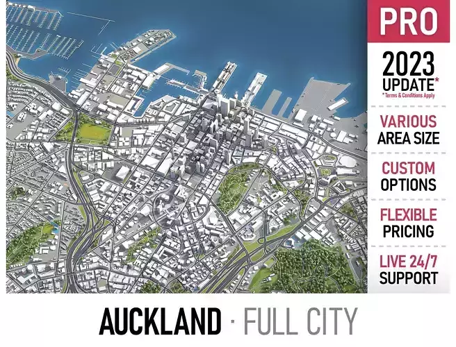
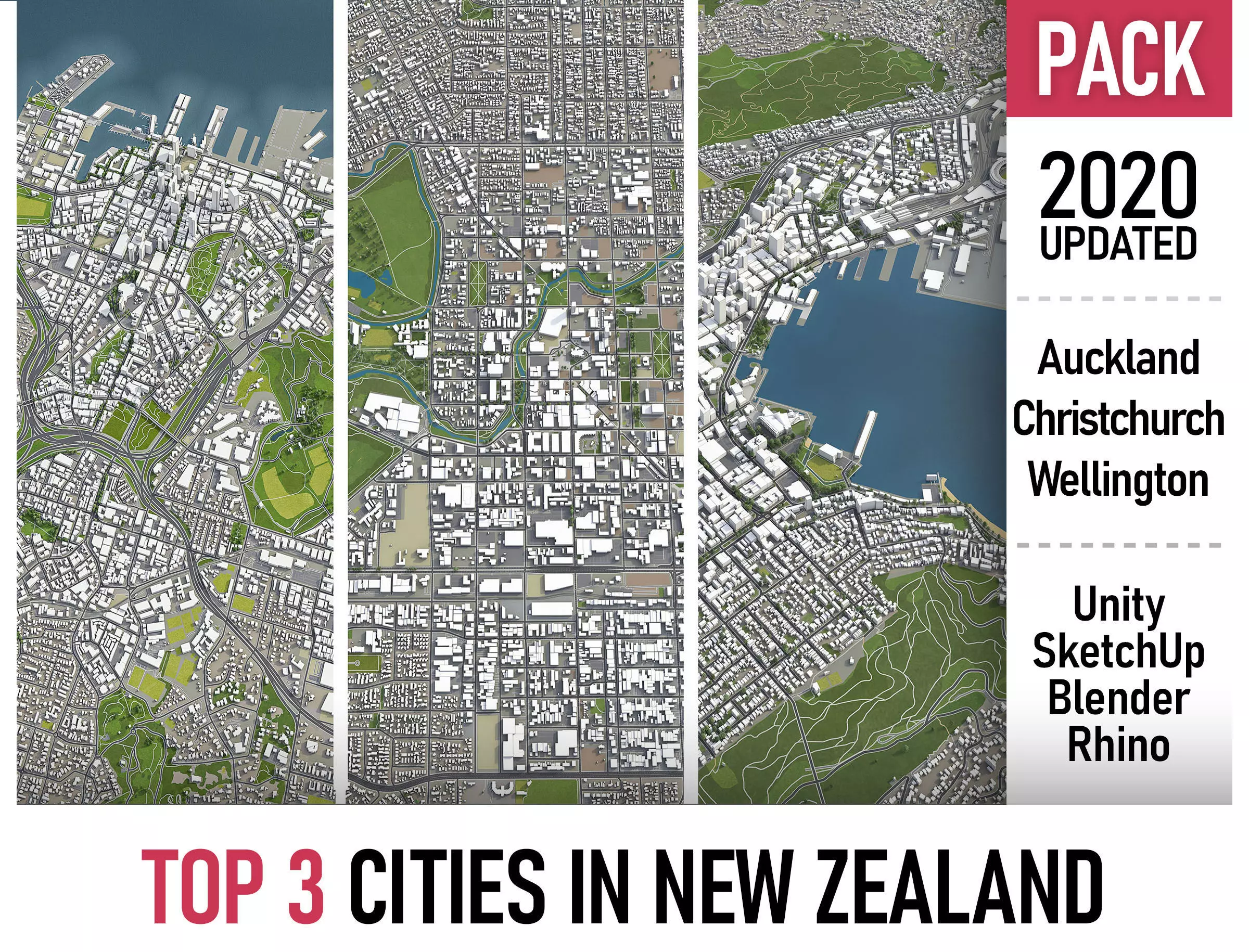
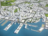
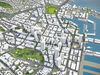
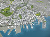
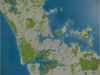
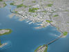
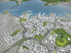
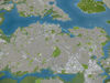
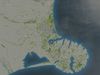
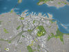
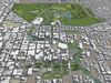
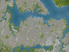
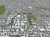
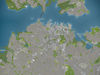
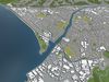
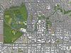
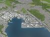
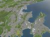
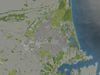
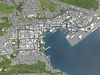
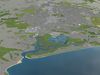
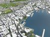
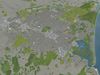
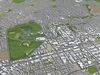
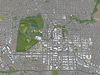
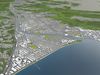
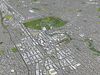
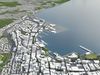
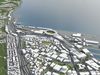
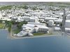
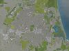
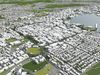
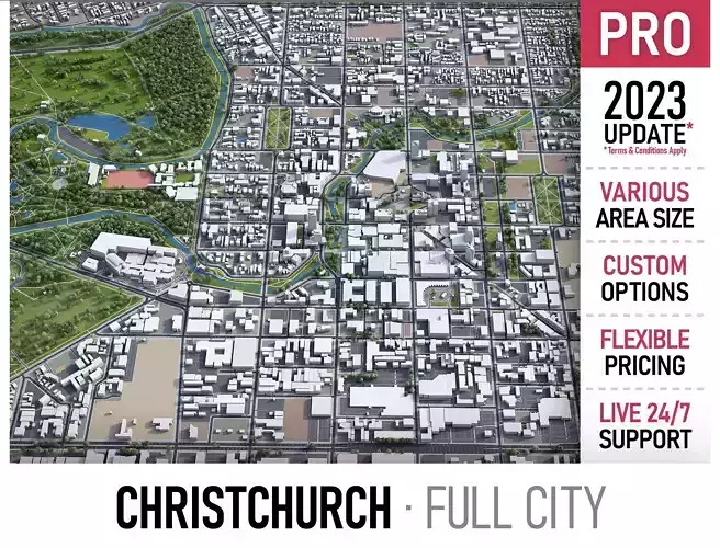
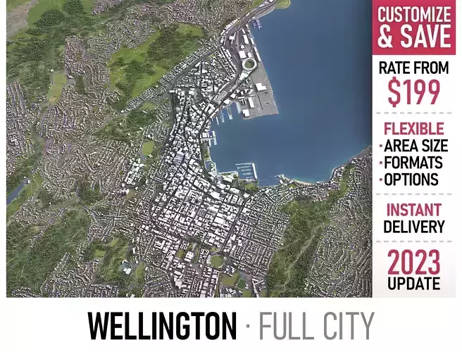
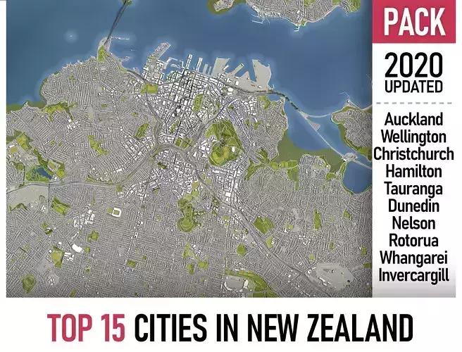
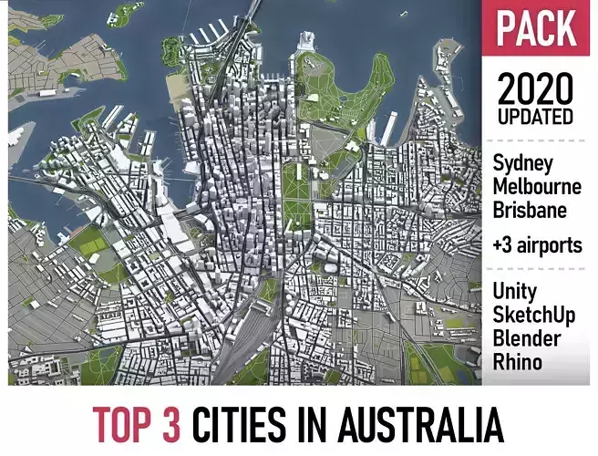
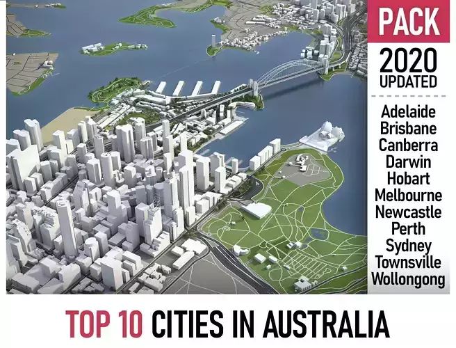
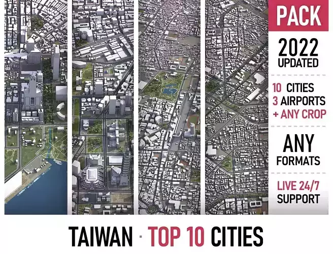
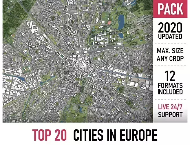
This collection of exact and accurate to scale 3D city models of Auckland, Wellington and Christchurch, New Zealand and its surrounding area based on GIS data (July 2019)
FORMATS
-
MAX - 3dsMax 2017 (V-Ray and Standard)
-
FBX, OBJ, DAE - Exchange Formats
-
UNITYPACKAGE - Unity 3D
-
BLEND - Blender
-
SKP - SketchUp
-
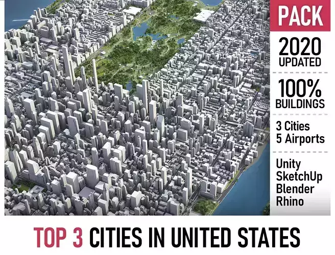
JPG - All preview images in 4K resolution
KEY BENEFITS
- This 3D city model is exact and accurate to real-world scale
- Transverse Mercator projection delivers high accuracy within each UTM zone
- The complete city within administrative boundaries and its surrounding area
- Buildings, landuse areas, roads and railways split by type
- Realistic low-poly trees (in a separate file/layer)
SCENE STRUCTURE - model is organized by layers, all objects split by type and named properly
- BUILDINGS
- residential
- detached houses
- commercial
- industrial
- educational
- public
- sports
- parkings
- transport
- religious
- unclassified
- ROADS
- highways
- primary
- secondary
- tertiary
- residential
- service
- RAILWAYS
- high-speed train
- city tram
- subway
- monorail
- construction
- abandoned
- PAVEMENT
- pedestrian
- sidewalk
- paths
- cycleway
- LANDUSE
- residential
- rural
- public
- industrial
- construction
- agriculture
- VEGETATION
- forest
- grass
- scrub
- park
- garden
- cemetery
- recreation
- LAND
- WATER
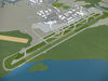
- AIRPORT
- building (terminal, gates)
- apron
- taxiway
- runway
- marking
SUPPORT - please send us a message 24/7
- Free product update with the latest GIS data
- Request any city, area, terrain or high-res satellite image