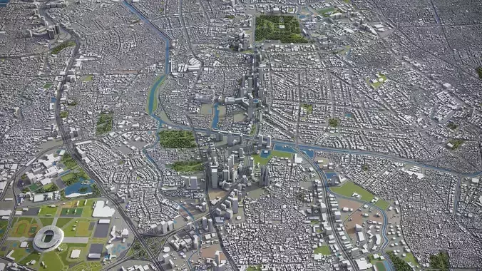
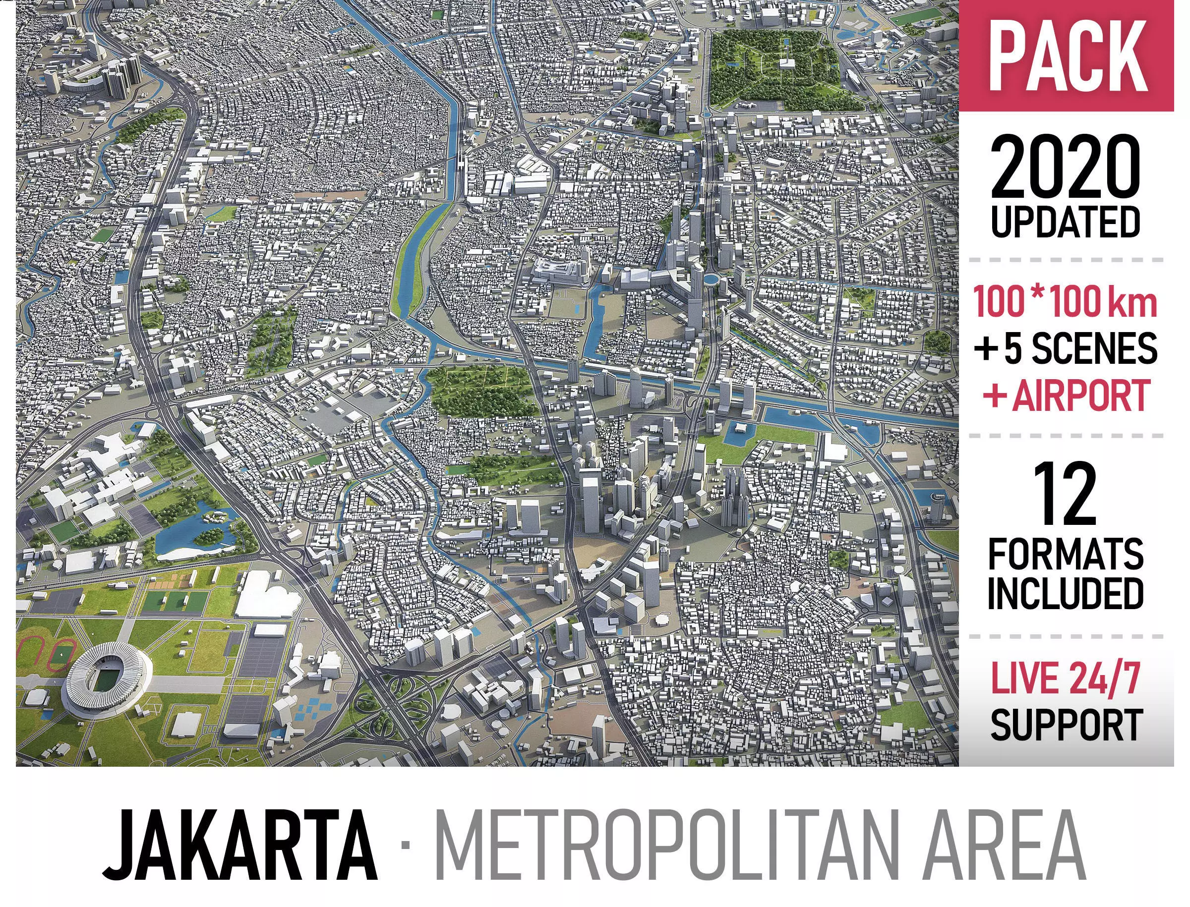
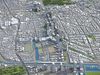
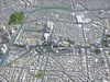
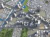
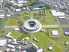
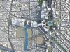
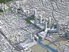
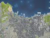
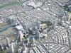
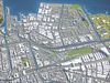
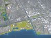
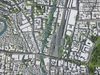
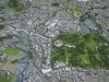
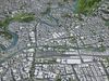
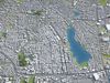
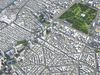
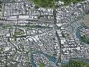
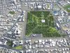
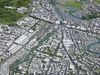
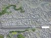
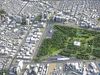
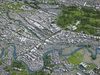
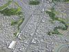
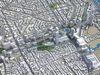
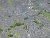
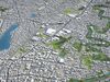
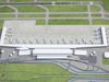
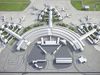
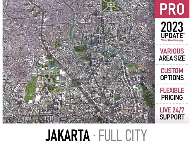
This is exact and accurate to scale 3D city model of Jakarta Metropolitan Area based on GIS data (September 2020)
- File units: Meters
- Scale: 1:1
PACKAGE CONTENTS
- This collection may include scenes of different size
-
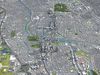
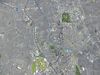
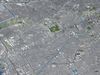
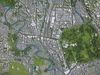
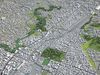
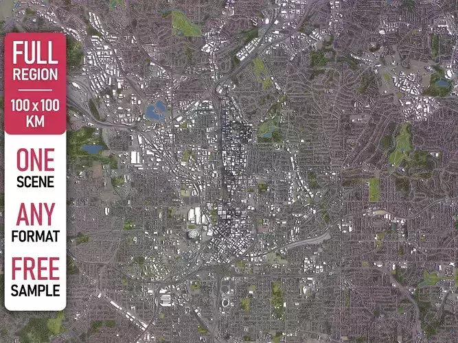
100 x 100 km - Complete scene (city and surrounding area)
-
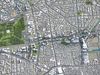
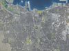
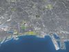
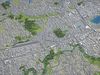
50 x 50 km - Jakarta (full city extents)
-
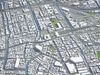
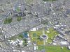
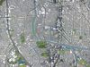
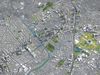
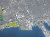
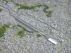
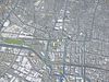
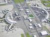
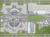
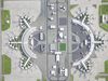
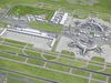
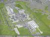
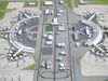
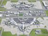
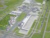
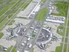
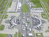
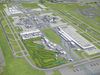
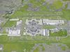
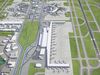
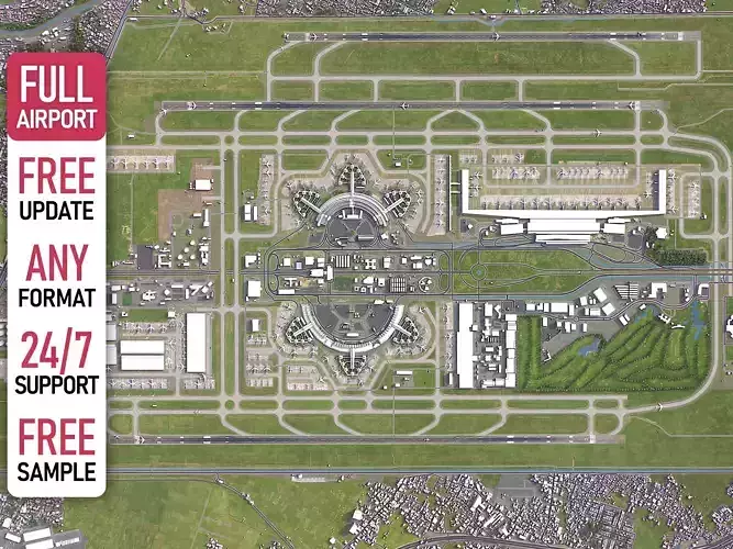
15 x 15 km - Jakarta Soekarno-Hatta International Airport (CGK)
-
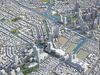
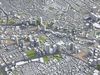
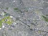
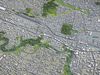
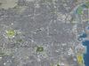
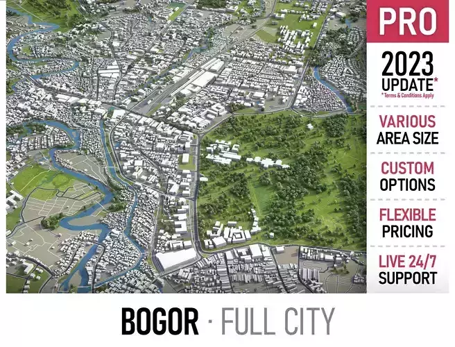
30 x 30 km - Bogor
-
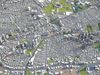
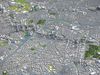
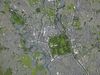
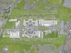
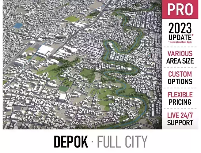
25 x 20 km - Depok
- Please request any specific area crop
- FORMATS INCLUDED
-
MAX - Autodesk 3dsMax
-
FBX, OBJ, DAE - Exchange Format
-
UNITYPACKAGE - Unity 3D
-
3DM - Rhino 3D
-
SKP - SketchUp
-
BLEND - Blender
-
C4D - Cinema4D
-
MA, MB - Autodesk Maya
-
DWG, DXF - Autodesk AutoCAD
-
RVT - Autodesk Revit / request
-
PLA, PLN - ArchiCAD / request
-
LS - Lumion / request
PRODUCT INFO
- KEY BENEFITS
-
FREE - Live 24/7 support
- FREE - Update to the latest data
-
FREE - Crop to any area, or slice to tiles
-
FREE - Format conversion to ANY software
- This 3D city model is georeferenced, exact and accurate to real-world scale
- Buildings, landuse areas, roads and railways split by type (see scene structure)
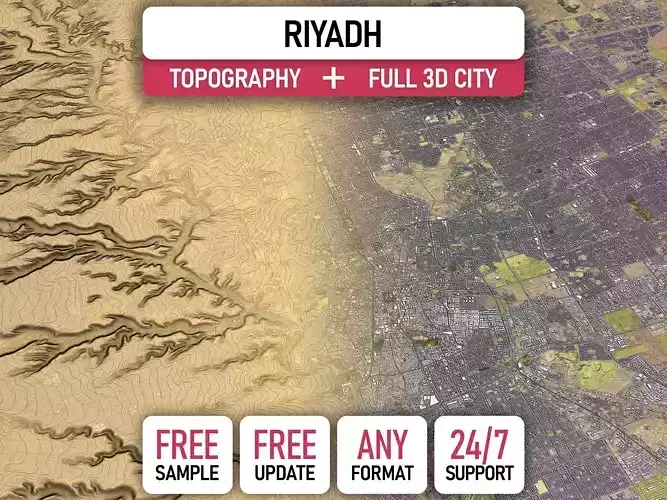
- The surface is flat, easy to add details and edit geometry (terrain on request)
-
Realistic low-poly trees and forests (max, fbx included, other formats by request)
- EXTRAS (on request)
- Administrative boundaries of all levels (named polygons or outlines)
- Road and railway splines for traffic animation
- Public transport stops with names
- PRESENTATION IMAGES
- Product is ready to render out-of-the-box (3dsmax + corona renderer)
- 4K high-resolution realistic renderings (refer to images for level of detail)
- MATERIALS
- Buildings are UVW mapped, split by material IDs, no textures assigned
- Trees, vegetation, landuse and airport surface with the textures assigned
SCENE STRUCTURE - model is organized by layers, all objects split by type and named properly
- BUILDINGS
- residential
- commercial
- industrial
- public
- sports
- parkings
- transport
- ROADS
- highways
- primary
- secondary
- tertiary
- residential
- service
- RAILWAYS
- train
- city tram
- subway
- monorail
- PAVEMENT
- sidewalk
- footway
- cycleway
- LANDUSE
- residential
- public
- industrial
- construction
- agriculture
- VEGETATION
- forest
- grass
- scrub
- park
- garden
- cemetery
- recreation
- NATURAL
- AIRPORT
- building (terminal, gates)
- apron
- taxiway
- runway
SUPPORT - please send us a message 24/7
-
FREE - Product update with the latest GIS data
-
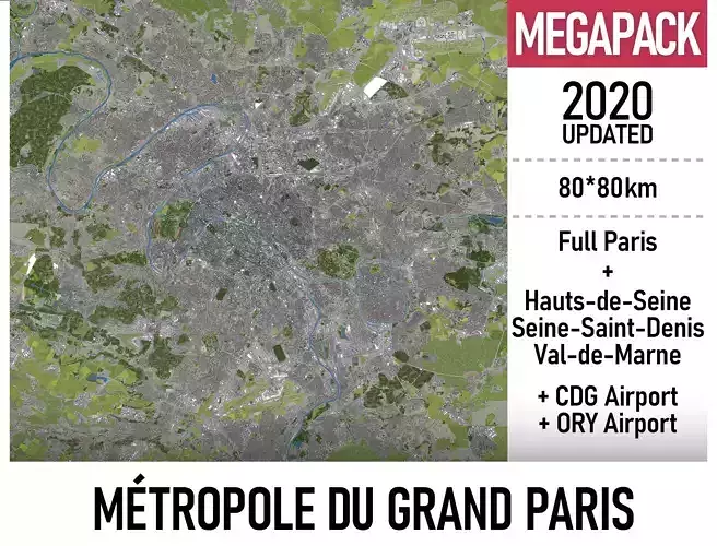
$299+ - Request any other city or area (same day delivery)
-
$199+ - Add terrain based on SRTM or LIDAR elevation data (3-5 LODs optimized)