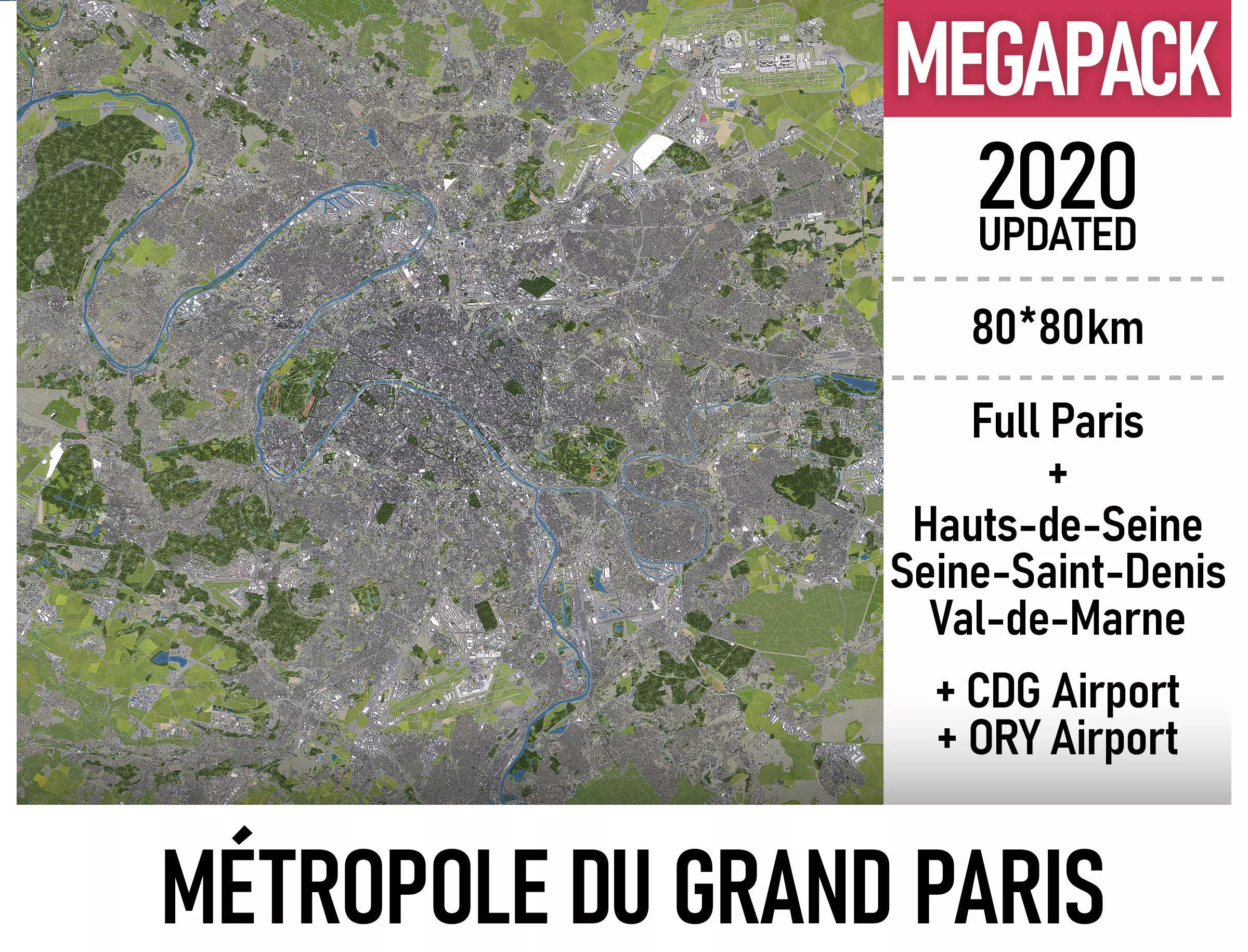
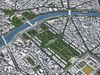
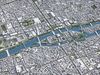
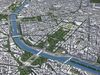
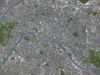
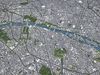
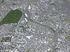
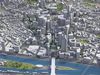
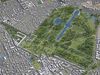
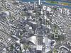
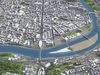
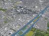
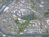
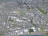
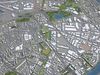
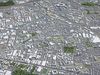
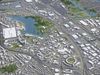
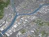
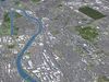
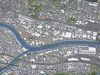
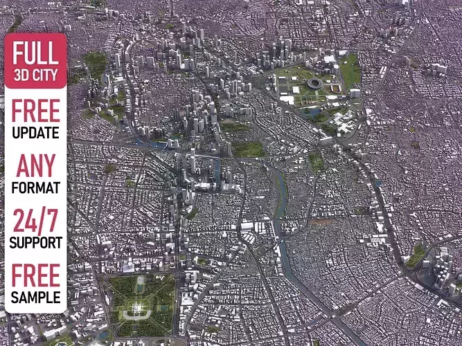
This is exact and accurate to scale 3D city model of Métropole du Grand Paris (Paris Metropolitan Area) based on GIS data (January 2020)
- File units: Meters
- Scale: 1:1
PACKAGE CONTENTS
- This collection includes 3 scenes of different size
-
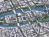
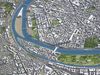
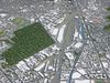
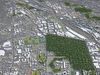
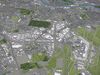
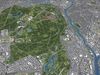
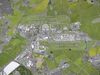
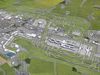
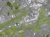
80 x 80 km - Complete scene
-
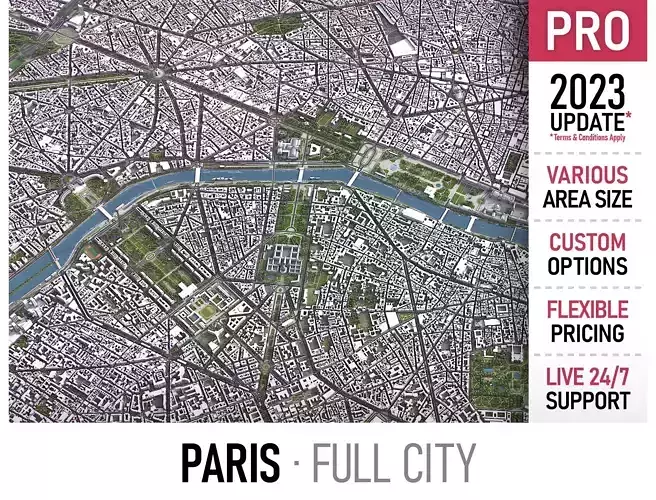
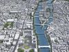
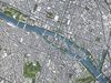
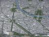
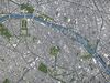
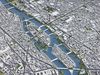
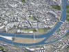
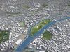
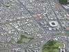
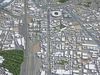
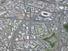
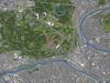
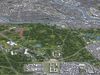
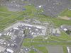
20 x 15 km - Full city extents
-
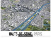
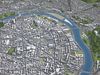
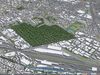
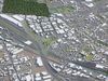
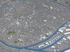
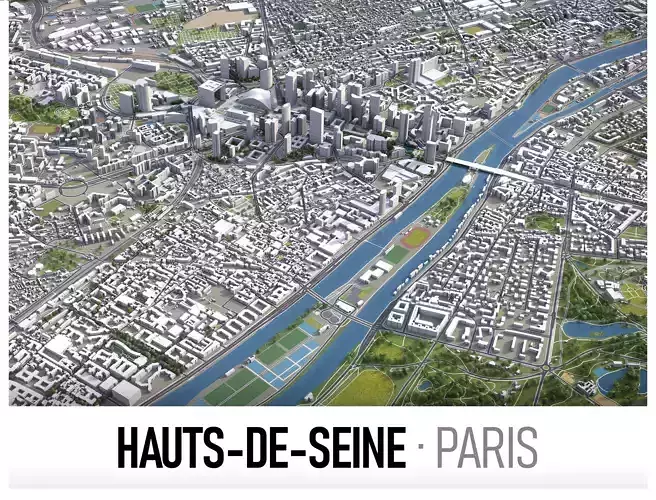
20 x 20 km - Hauts-de-Seine department
-
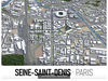
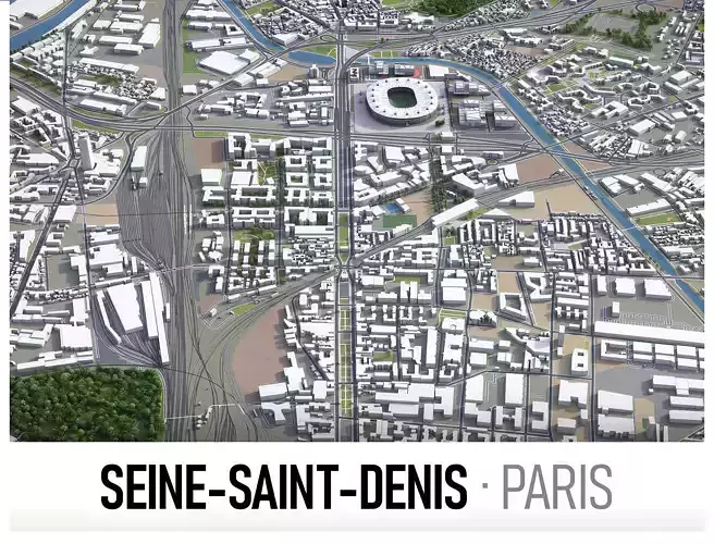
20 x 20 km - Seine-Saint-Denis department
-
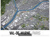
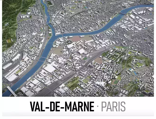
20 x 20 km - Val-de-Marne department
-
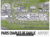
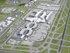
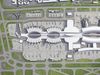
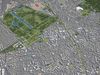
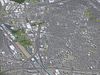
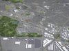
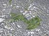
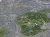
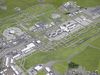
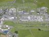
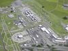
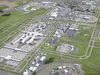
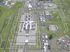
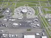
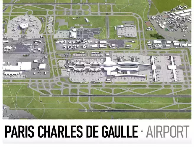
15 x 15 km - Charles de Gaulle Airport (CDG)
-
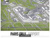
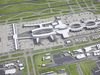
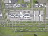
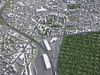
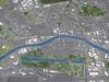
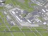
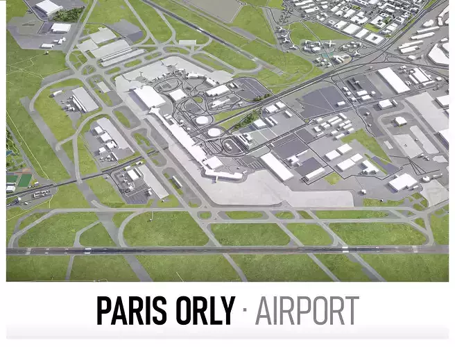
10 x 10 km - Orly Airport (ORY)
- FORMATS INCLUDED
-
MAX - Autodesk 3dsMax
-
FBX, OBJ, DAE - Exchange Format
-
UNITYPACKAGE - Unity 3D
-
3DM - Rhino 3D
-
SKP - SketchUp
-
BLEND - Blender
-
DWG - Autodesk AutoCAD
-
RVT - Autodesk Revit / request
PRODUCT INFO
- KEY BENEFITS
- This 3D city model is georeferenced, exact and accurate to real-world scale
- Buildings, landuse areas, roads and railways split by type (see scene structure)
- Surface is flat, easy to add details and edit geometry (terrain on request)
- Realistic low-poly trees and forests
- EXTRAS (on request)
- Administrative boundaries of all levels (named polygons or outlines)
- Road and railway splines for traffic animation
- Public transport stops with names
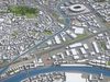
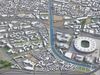
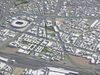
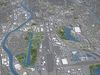
- PRESENTATION IMAGES
- Product is ready to render out-of-the-box (3dsmax + corona renderer)
- 4K high-resolution realistic renderings (view full-screen to download)
- MATERIALS
- Buildings are UVW mapped, material IDs used (wall, roof, brick, glass, etc.)
- Trees, vegetation, landuse and airport surface with the textures assigned
SCENE STRUCTURE - model is organized by layers, all objects split by type and named properly
- BUILDINGS
- residential
- commercial
- industrial
- public
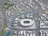
- sports
- parkings
- transport
- ROADS
- highways
- primary
- secondary
- tertiary
- residential
- service
- RAILWAYS
- train
- city tram
- subway
- monorail
- PAVEMENT
- sidewalk
- footway
- cycleway
- LANDUSE
- residential
- public
- industrial
- construction
- agriculture
- VEGETATION
- forest
- grass
- scrub
- park
- garden
- cemetery
- recreation
- NATURAL
- AIRPORT
- building (terminal, gates)
- apron
- taxiway
- runway
SUPPORT - please send us a message 24/7
-
FREE - Product update with the latest GIS data
-
$299+ - Request any other city or area (same day delivery)
-
$199+ - Add terrain based on SRTM or LIDAR elevation data (3-5 LODs optimized)