3D MODELS IN THIS COLLECTION

DESCRIPTION
  • TRY BEFORE YOU BUY
    • Experience the quality and detail of our 3D Topography Terrain before making a purchase
      • Get a FREE sample scene! — Message us with your preferred file format
      • Instant Download — Grab an overview sample at www.each.city/sample
  • PRODUCT SPECIFICATIONS
    • Units: Meters — Real-world scale for accurate measurements
    • Scale: 1 : 1 — Accurate representation for precise modeling
    • Data used: October 2024 — Ensuring up-to-date terrain information
  • WHAT IS INCLUDED
    • 65 x 65 km Area Size — Covers the full terrain area for comprehensive analysis
    • 30-Meter Digital Terrain Model (DTM) — Quad-mesh raw terrain data acquired for detailed analysis and further optimization
    • Optimized Triangular Mesh Terrain — Optimizes polygon count and detail for efficient, superior performance
    • Separate Land Surface and Water Bodies — Two distinct mesh objects with precise shorelines for realistic water features
    • Contour Lines — Separate 3D splines named by elevation level and positioned on their respective elevation planes
    • 1-Meter Resolution Satellite Texture — High-definition textures for lifelike terrain appearance
  • FREE UPDATE
    • Regular Releases — Our models are regularly updated. Receive the latest version upon release
    • Custom Modifications — Adjustments to fit your specific needs are available upon request before purchase (fees may apply)
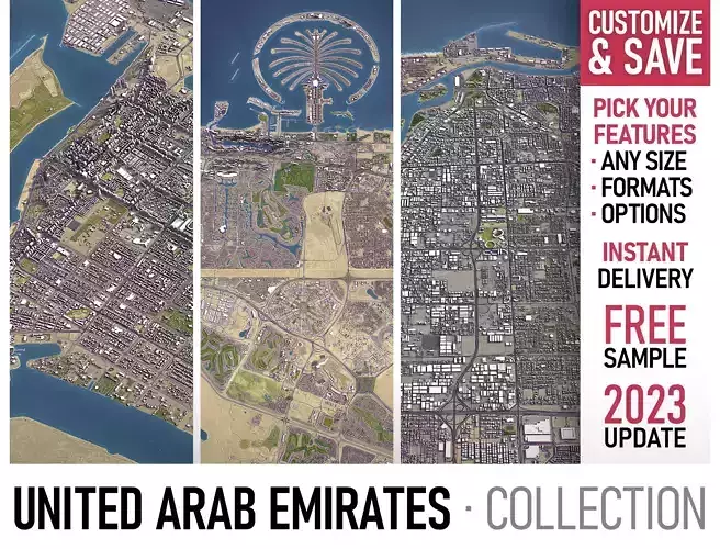
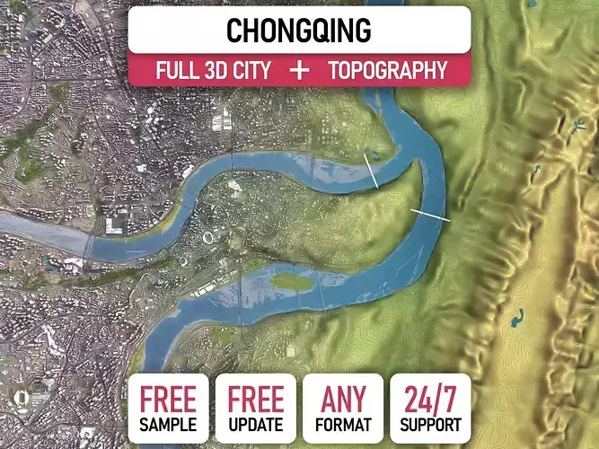
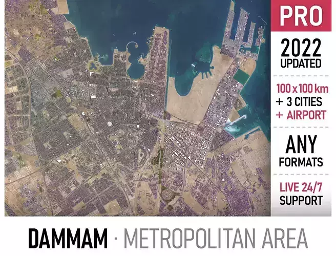
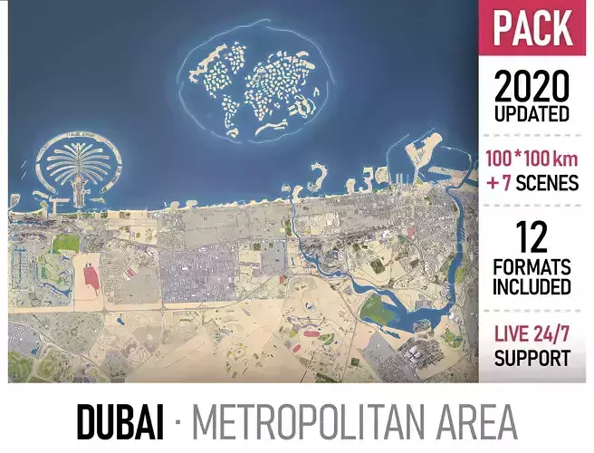
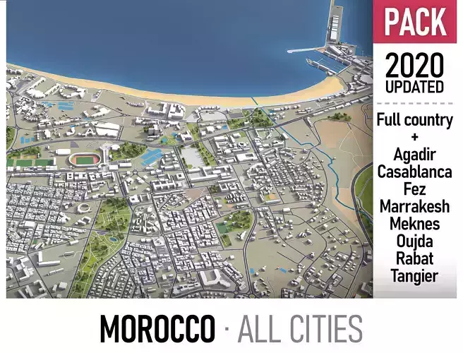
  • ORDER FULL PACKAGE
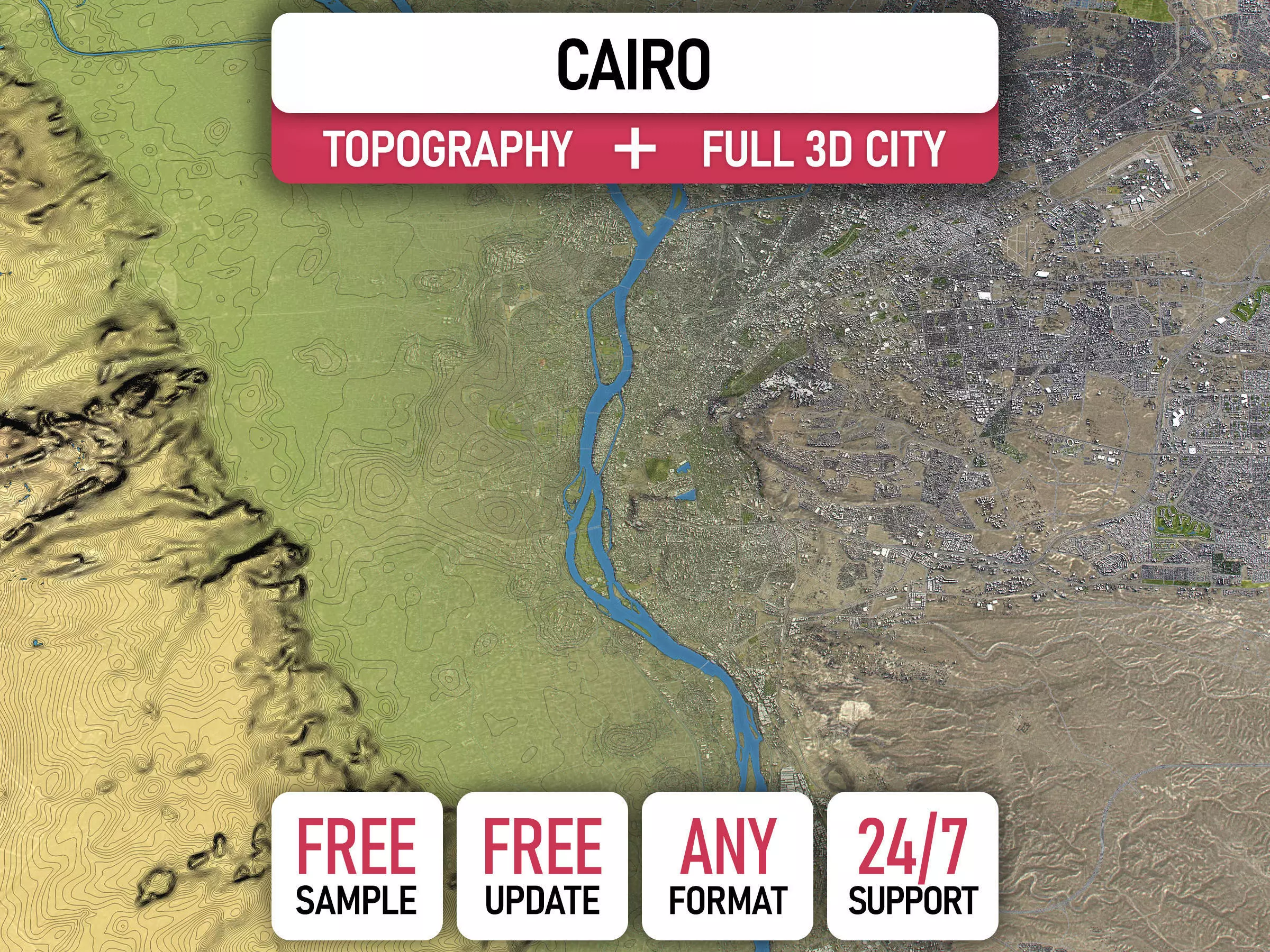
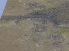
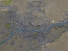
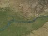
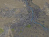
    • Includes entire 3D City integrated on the terrain
      • 100 sq km — from $999
      • 400 sq km — from $1499
      • 900 sq km — from $1999
  • ORDER CUSTOM OPTIONS
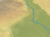
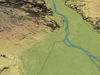
    • Enhance your terrain with our specialized 3D modeling services, offering customizations beyond the standard package. These options are available separately and priced accordingly
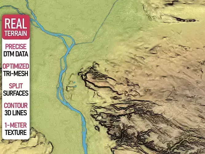
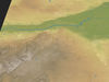
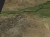
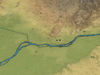
      • Higher Accuracy — Up to 1-meter digital terrain models for enhanced precision (availability varies depending on country-specific datasets)
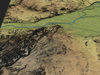
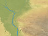
      • Multiple Levels of Detail (LODs) — Optimized terrain meshes balancing detail and performance
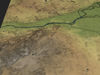
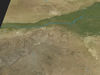
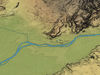
      • Higher Resolution — Satellite imagery with up to 0.1-meter accuracy for superior texture quality
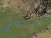
      • Increased Contour Lines Density — 3D contour lines with up to 1-meter intervals for finer topographical detail
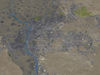
      • Integrated Urban Features — Custom placement of buildings, roads, and vegetation on the terrain
      • 3D Print Ready Models — Solid objects optimized for 3D printing applications
      • Additional File Formats — Support for specialized formats upon request
        • max — Autodesk 3ds Max
        • fbx, obj, dae, 3ds — Exchange Formats
        • unitypackage — Unity 3D
        • uproject, uasset — Unreal Engine
        • tm — Twinmotion
        • 3dm — Rhino 3D
        • skp — SketchUp
        • rvt — Autodesk Revit
        • c4d — Cinema4D
        • blend — Blender
        • glb, gltf — Games, Web, AR/VR
        • ma, mb — Autodesk Maya
        • dwg, dxf — Autodesk AutoCAD
        • stl — 3D Print

REVIEWS & COMMENTS

See what other buyers think about this model - real feedback on quality,
accuracy, and usability.
There are no reviews or comments yet. Please be the first one to write it.

Cairo - 3D City Model Terrain 3D Model Collection

Royalty Free License
Like this model to show appreciation to the designer.
See how many times this model was viewed.
Share this model to support the designer and boost their visibility.
Native file format
MAX2 files
Size: 365 MB
Provided by designer
Information and details shared directly by the model's designer.
3D Features
Animated(0/2)
Rigged(0/2)
Low Poly(2/2)
PBR(2/2)
3D printing
Indicates whether the designer marked models as suitable for 3D printing.
Models are not 3D printable
The designer indicates that models are intended for digital use only (rendering, animation, or AR/VR) and not for 3D printing.
Unwrapped UVs
Publish date
Collection ID
Hire
Chat