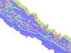
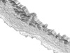
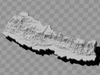
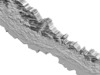
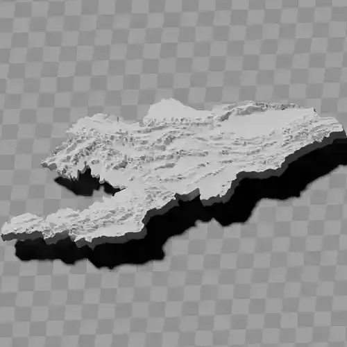
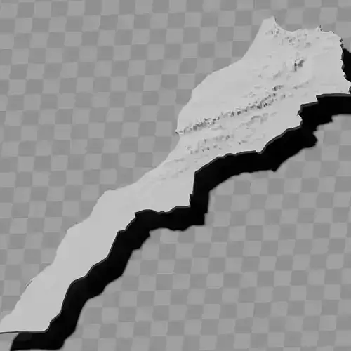
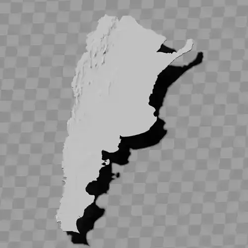
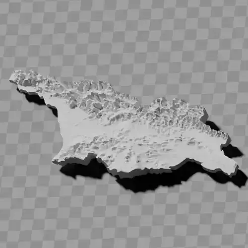
Nepal lowlands topography relief maps
Includes several models:
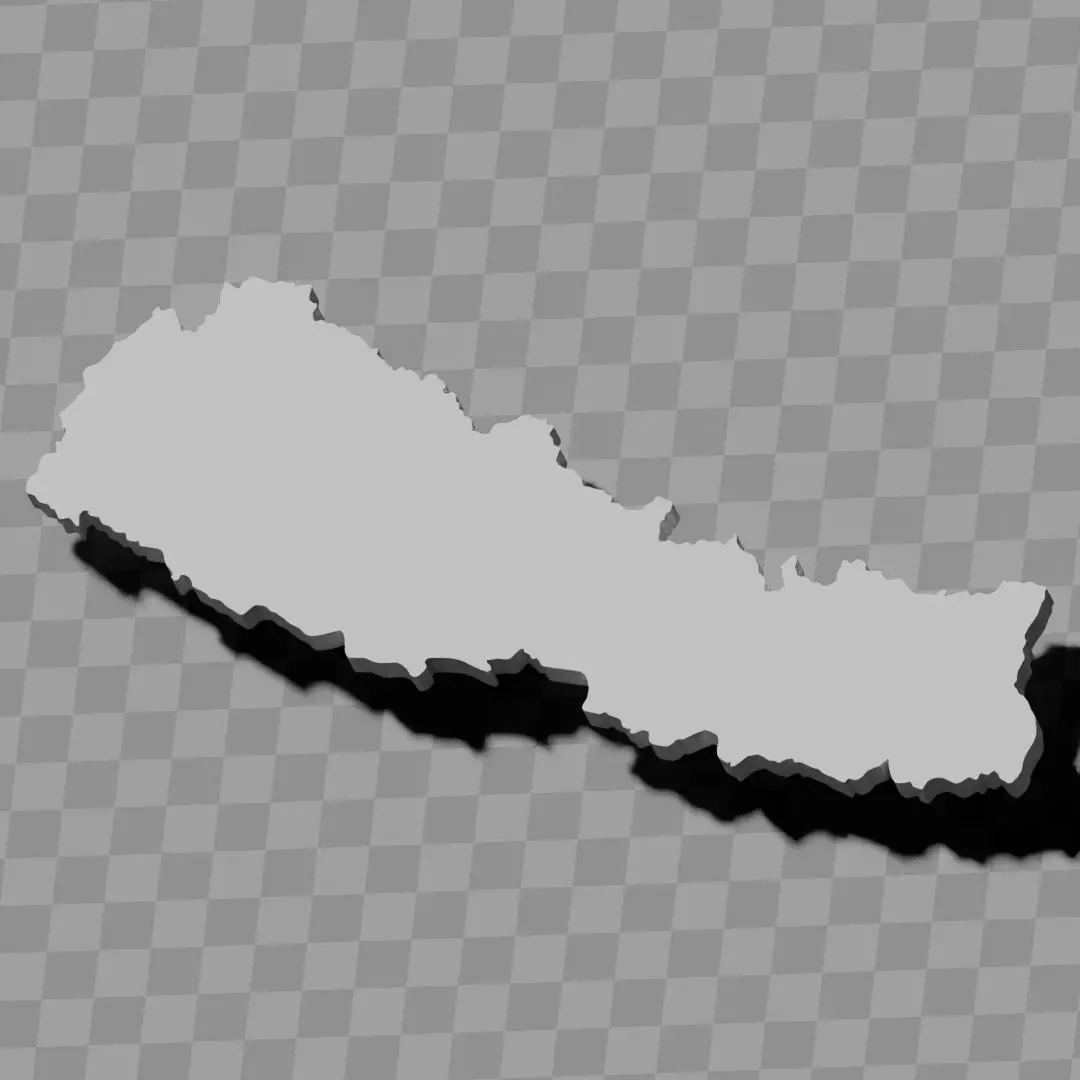
a cutout with exaggerated terrain / topography [Mercator-projection-distorted version + undistorted version]
simplified version(s) with reduced polygon counts via quadratic decimation
non-cutout versions of the tolopgy [Mercator-projection-distorted version + undistorted version]
a simple 'prism' [flat-surfaced cutout of the country's boundaries with no topology features added]
'expanded' version which is a convex hull of the prism. You can use this as a 'base' to stabilize the model to avoid problems with small details breaking off if you try to 3d print it.
includes STL and OBJ formats. non-textured.
~~~~~~~~~~~~~~~~~~~~~~~~~~~~~~~~~~~~~~~~~~
नेपालको तराई क्षेत्रको स्थलाकृति राहत नक्शाहरू
विभिन्न मोडेलहरू समावेश छन्:
अतिरञ्जित भू-भाग / स्थलाकृति सहितको कटआउट [मर्केटर-प्रक्षेपण-विकृत संस्करण + अविकृत संस्करण]
चतुर्भुजीय डेसिमेशन मार्फत घटाइएको बहुभुज संख्या भएका सरलीकृत संस्करण(हरू)
स्थलाकृतिको गैर-कटआउट संस्करणहरू [मर्केटर-प्रक्षेपण-विकृत संस्करण + अविकृत संस्करण]
सामान्य 'प्रिज्म' [कुनै स्थलाकृति विशेषताहरू नथपिएको देशको सीमाको समतल सतह कटआउट]
प्रिज्मको उत्तल खोल भएको 'विस्तारित' संस्करण। यदि तपाईं 3D प्रिन्ट गर्न खोज्नुहुन्छ भने साना विवरणहरू टुट्ने समस्याहरू हटाउन मोडेललाई स्थिर गर्न 'आधार' को रूपमा यसलाई प्रयोग गर्न सक्नुहुन्छ।
STL र OBJ ढाँचाहरू समावेश। बनावट रहित।