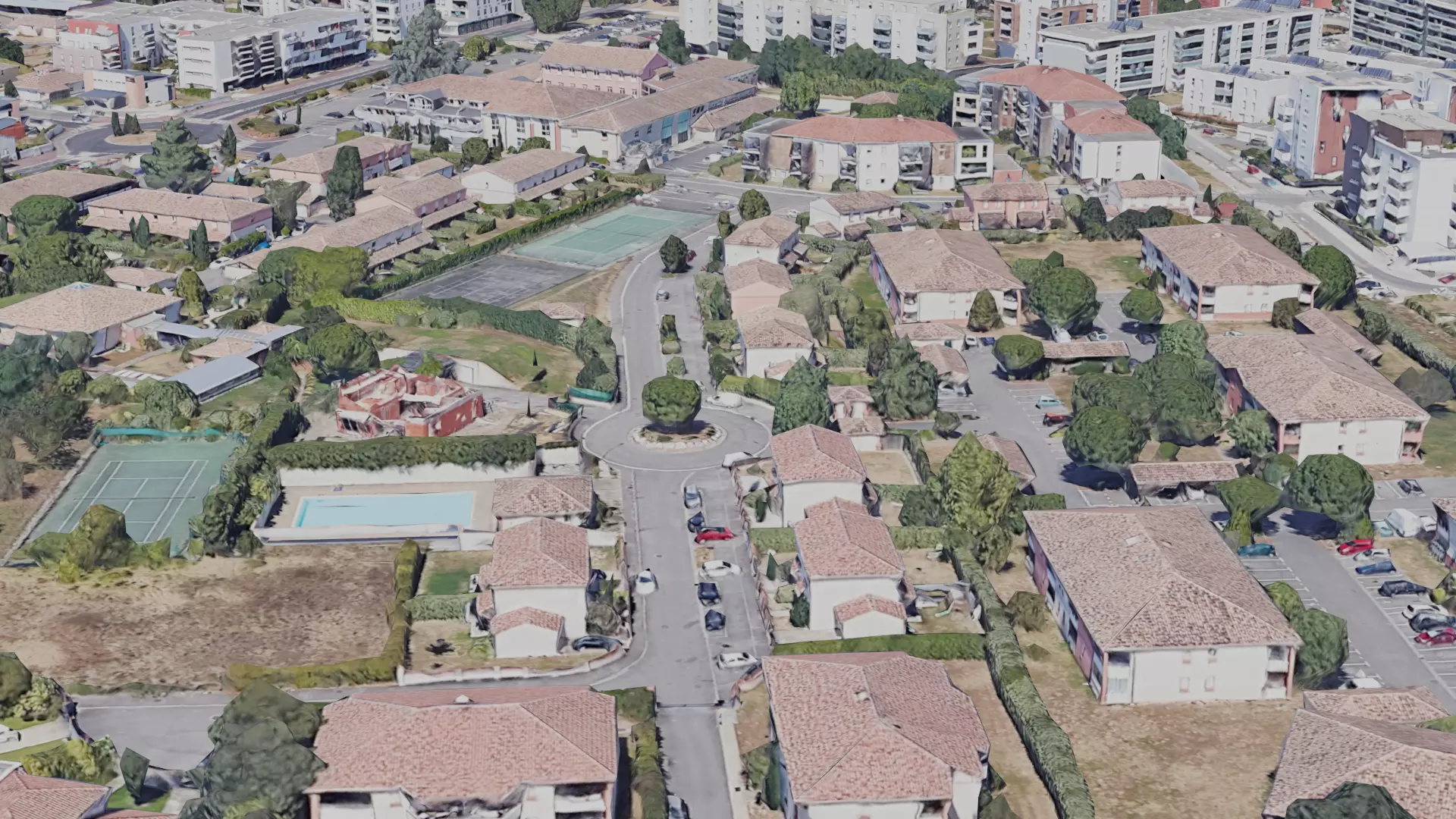
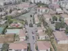
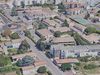
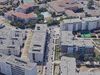
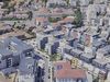
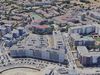
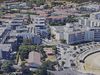
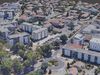
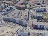
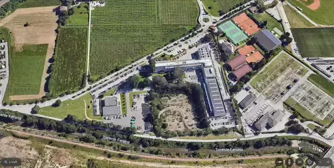
Geospatial Accuracy: The 3D city model is often georeferenced to real-world coordinates, ensuring accuracy in its depiction of the city's geography. This involves mapping buildings, streets, and other features to their precise locations on the Earth's surface.
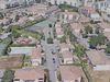
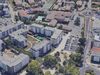
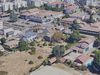
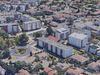
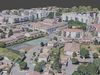
Building Models: Individual structures within the city, such as houses, skyscrapers, and landmarks, are represented as 3D models. These models can range from simple representations to highly detailed and realistic depictions, capturing architectural nuances and design elements.
Terrain and Topography: The model includes the natural landscape of the city, including hills, rivers, and other geographical features. This adds to the overall realism and helps in urban planning and visualization.
Infrastructure and Transportation: 3D city models often incorporate transportation networks like roads, bridges, and railways. Additionally, infrastructure such as streetlights, traffic signals, and utility poles may be included.
Land Use and Zoning: Different areas of the city are categorized based on land use and zoning regulations. This includes residential, commercial, industrial, and recreational zones, providing valuable information for urban planning and development.
Vegetation and Green Spaces: Parks, gardens, and other green spaces are represented in the model, contributing to a comprehensive understanding of the city's environment and contributing to its aesthetic appeal.
Texturing and Visualization: To enhance realism, surfaces of buildings and terrain are often textured with real-world images or materials. This includes details such as facades, road markings, and other visual elements.
Time-based Information: In some cases, 3D city models may include temporal data, allowing for the visualization of changes over time. This can be useful for monitoring urban development, construction projects, and the evolution of the cityscape.
Interactivity: Some 3D city models are designed for interactive exploration, allowing users to navigate through the virtual environment, zoom in on specific areas, and access additional information about buildings or infrastructure.
Applications: 3D city models find applications in urban planning, architecture, simulation, disaster management, tourism, and various industries. They serve as valuable tools for decision-making, visualization, and communication of complex urban scenarios.
Creating a comprehensive 3D city model involves the integration of data from various sources, including satellite imagery, aerial surveys, GIS data, and architectural plans. Advances in technology, such as LiDAR scanning and photogrammetry, have contributed to the increasing accuracy and detail of these models.