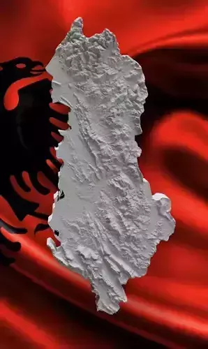
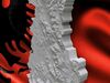
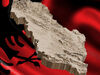
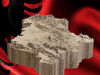
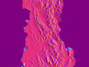
3D or Height Map of Albania - A Tribute to the Majesty of Our HomelandScale 1x400000cm, 1cm x 4km
Discover Albania’s impressive topography with our striking height map, designed to capture the true essence of our nation’s diverse landforms. In a single, elegant color scheme, this map highlights the country's elevation changes, from its highest peaks to its lowland valleys.
Stunning Elevation Detail: The map displays Albania’s dramatic terrain, from the towering peaks of the Dinaric Alps to the rolling hills and plains, all represented through precise elevation changes.
One-Color, Clear Design: The height map uses a clean, single-color palette to highlight the natural contours of the land, making it easy to distinguish Albania's mountain ranges, valleys, and coastal regions.
I’ve made an effort to approximate the map as closely as possible to Albania’s actual topography, capturing its general elevation changes and key features.