


Turkmenistan relief maps topography collection 3D print model
Turkmenistan relief maps topography collection / geography kit
Includes several models:
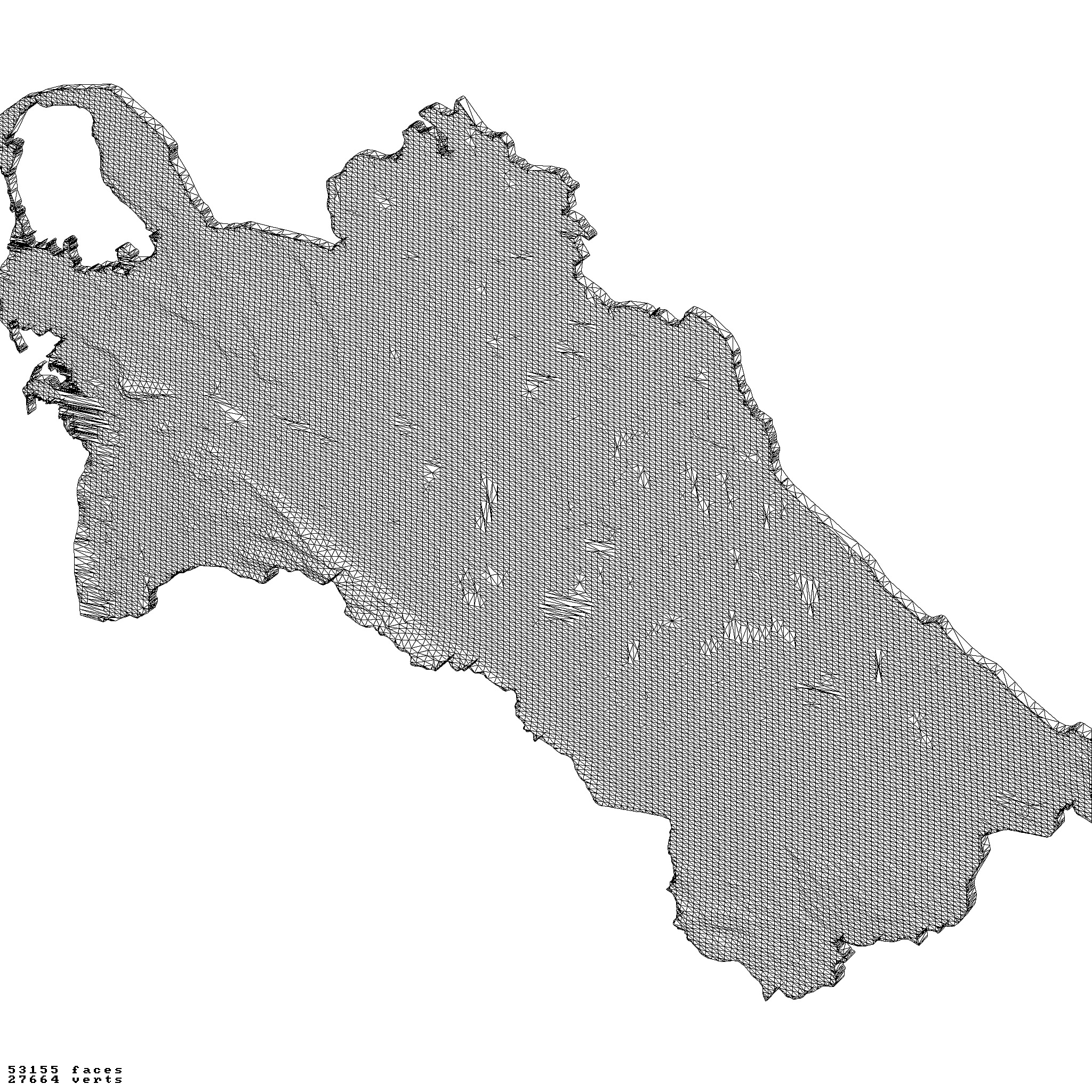
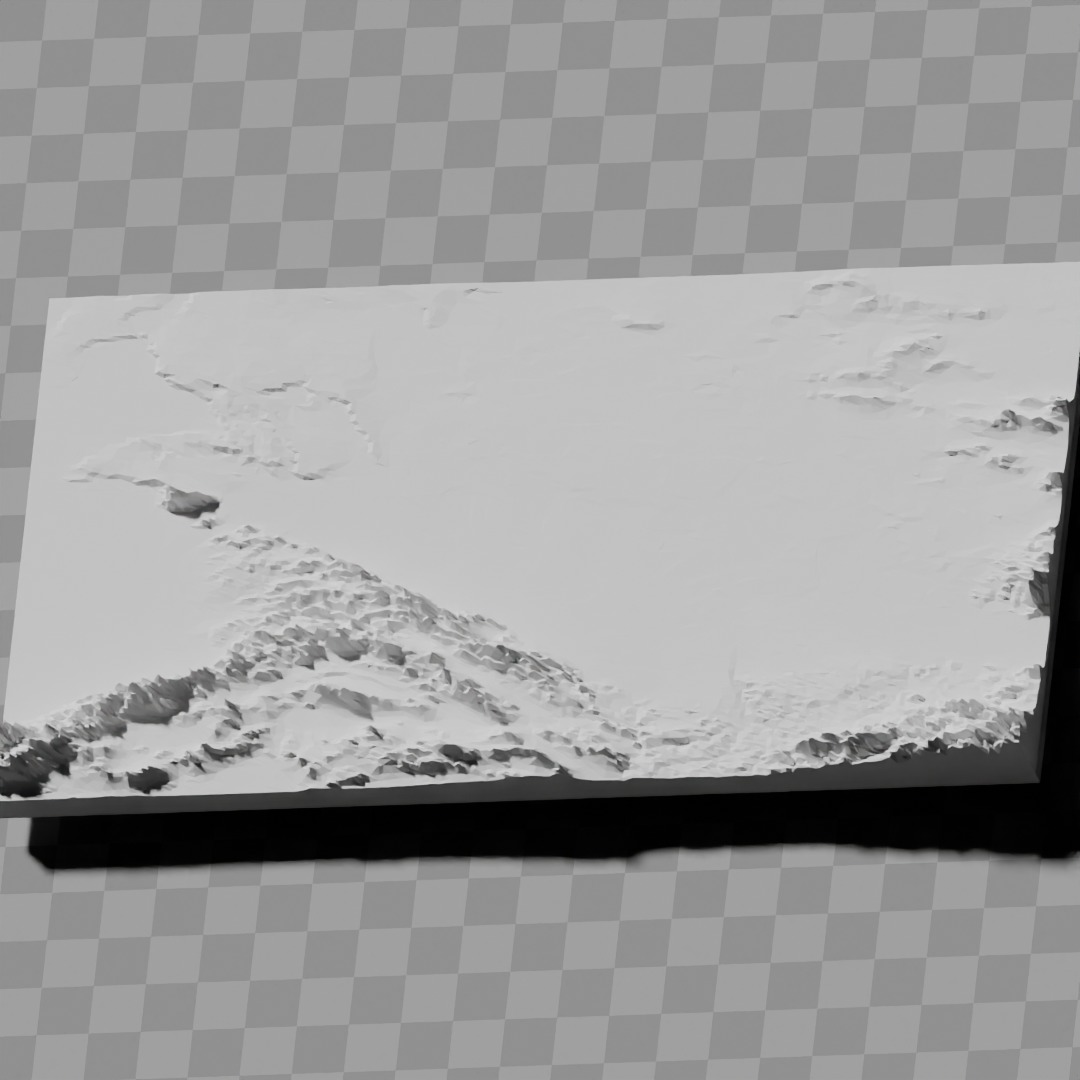
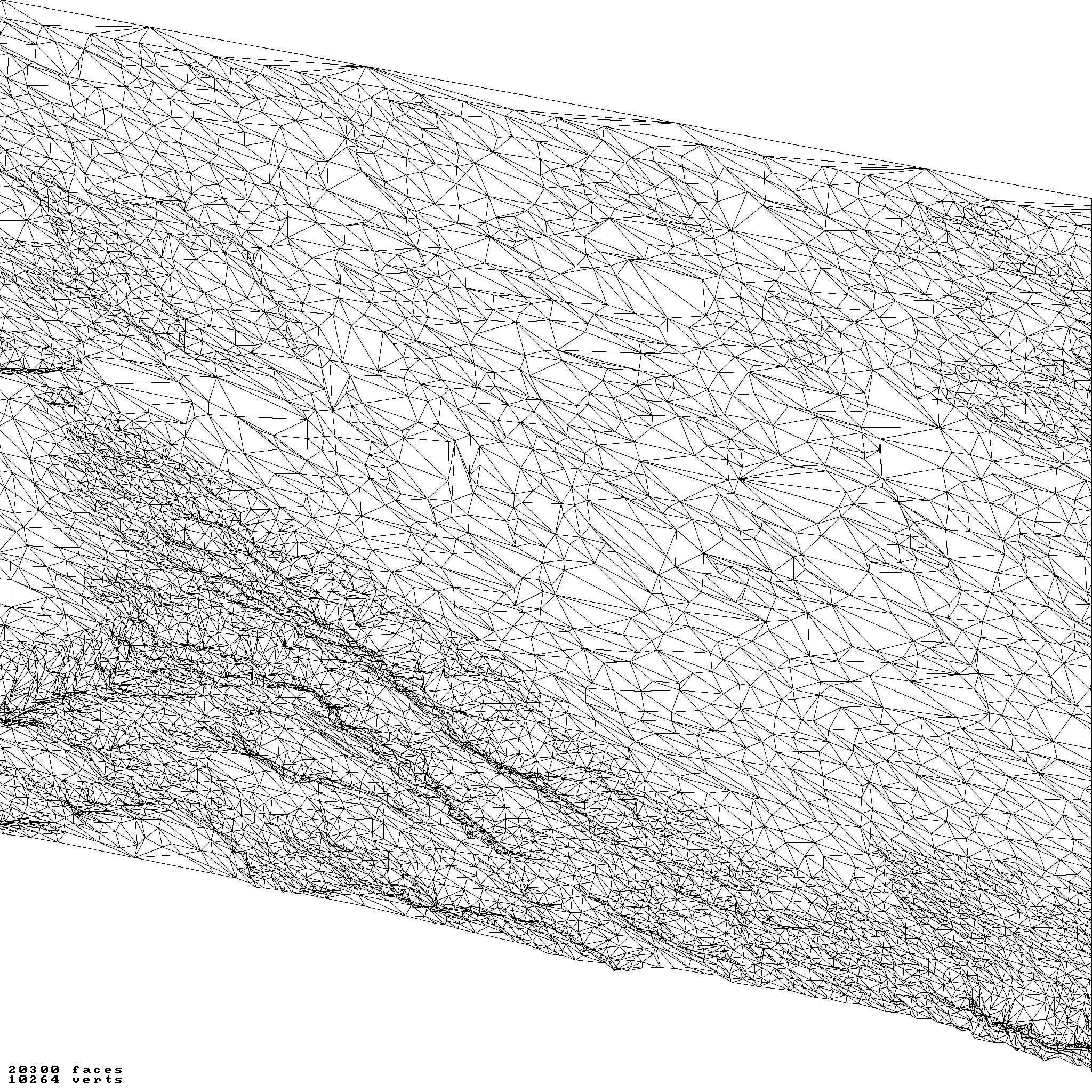
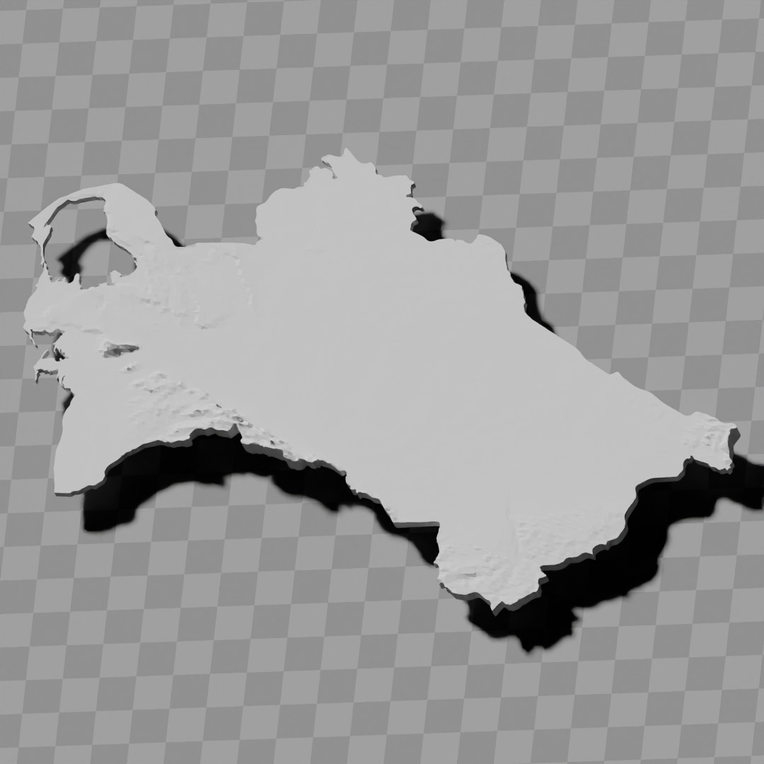
a cutout with exaggerated terrain / topography [Mercator-projection-distorted version + undistorted version]
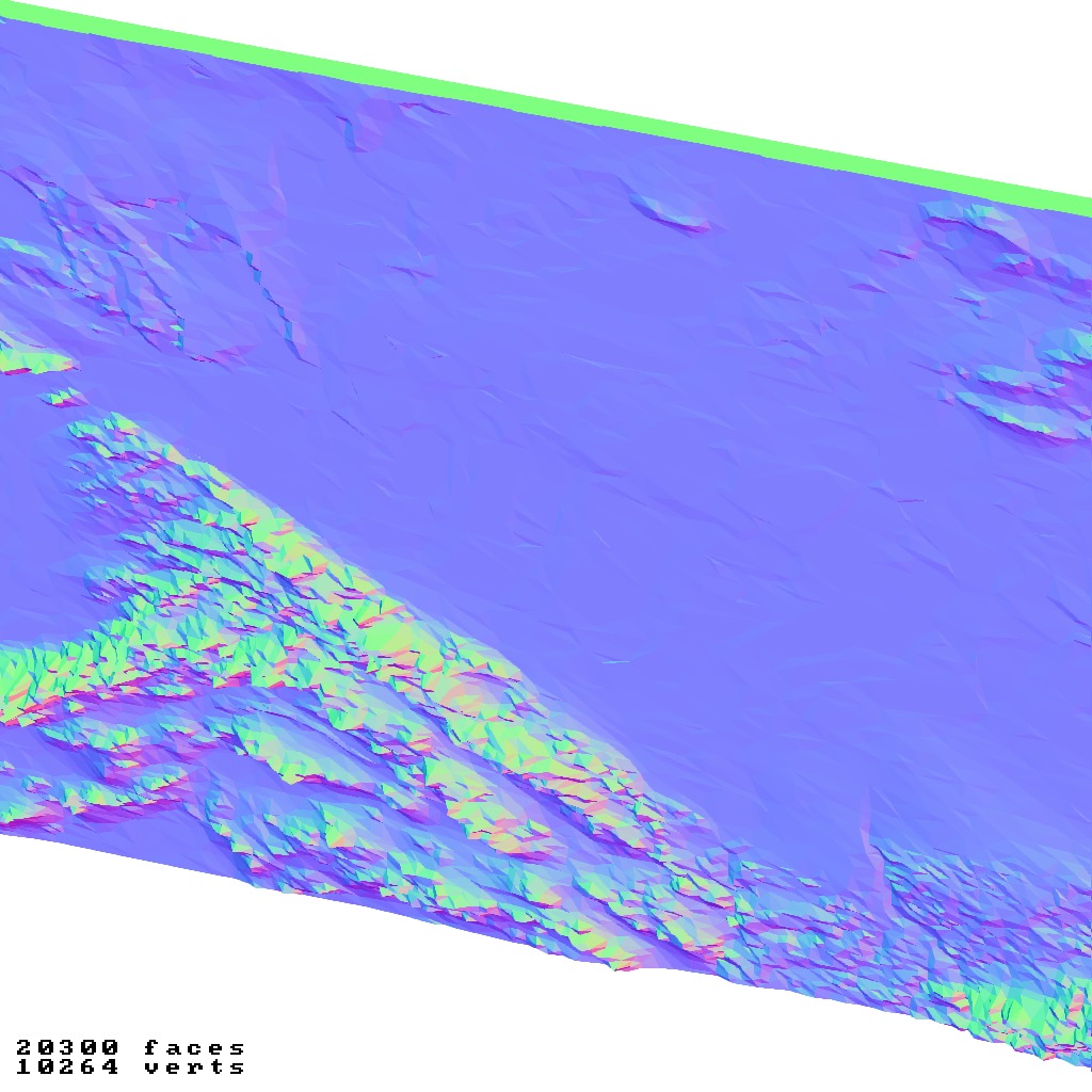
simplified version(s) with reduced polygon counts via quadratic decimation
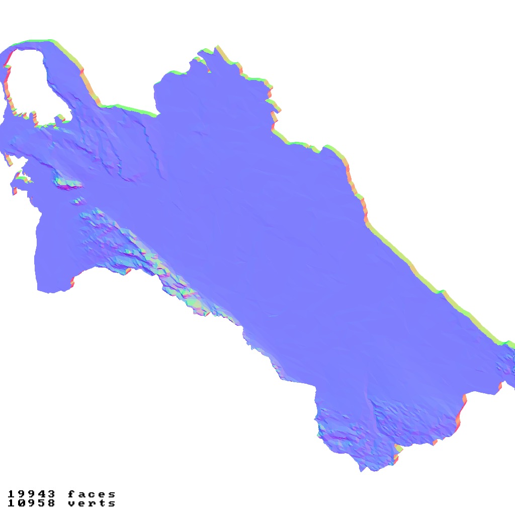
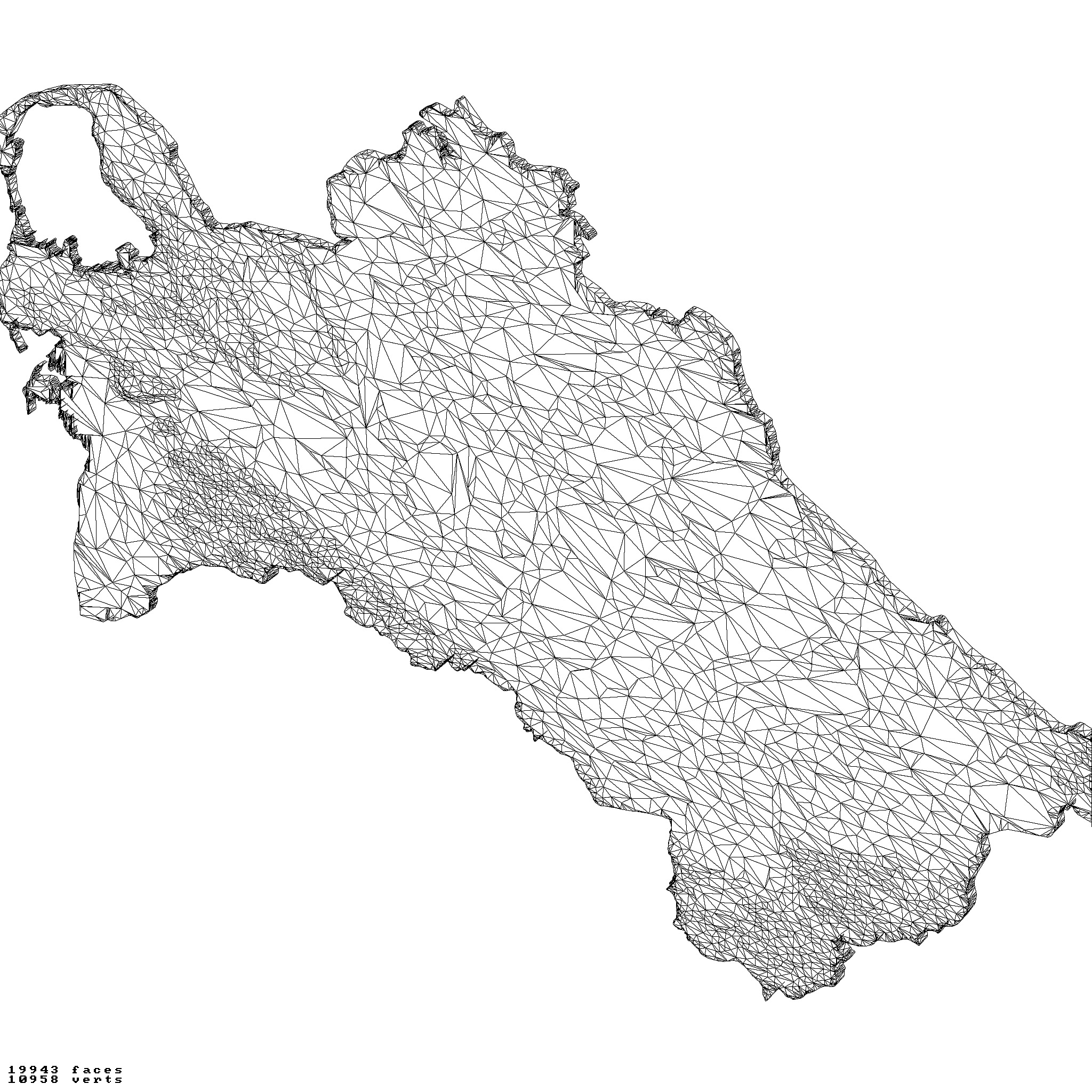
non-cutout versions of the tolopgy [Mercator-projection-distorted version + undistorted version]
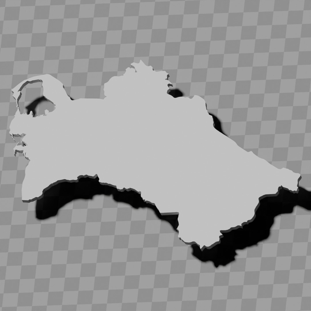
a simple 'prism' [flat-surfaced cutout of the country's boundaries with no topology features added]
'expanded' version which is a convex hull of the prism. You can use this as a 'base' to stabilize the model to avoid problems with small details breaking off if you try to 3d print it.
includes STL and OBJ formats. non-textured.
~~~~~~~~~~~~~~~~~~~~~~~~~~~~~~~~~~~~~~~~~~
Türkmenistanyň relýef kartalary topografiýa kolleksiýasy / geografiýa toplumy
Birnäçe modelleri öz içine alýar:
güýçlendirilen relýef / topografiýa bilen kesilen görnüş [Merkator proýeksiýasynyň üýtgedilen wersiýasy + üýtgedilmedik wersiýasy]
kwadrat azaltma arkaly polygon sany azaldylan ýönekeýleşdirilen wersiýa(lar)
topografiýanyň kesilmedik wersiýalary [Merkator proýeksiýasynyň üýtgedilen wersiýasy + üýtgedilmedik wersiýasy]
ýönekeý 'prizma' [topografiýa aýratynlyklary goşulmazdan ýurduň serhetleriniň tekiz ýüzli kesilen görnüşi]
prizmanyň gabarçyk örtügi bolan 'giňeldilen' wersiýa. 3D çap etmäge synanyşanyňyzda kiçi jikme-jikleriň döwülmegi bilen baglanyşykly meseleleriň öňüni almak üçin modeli stabilleşdirmek üçin 'esas' hökmünde ulanyp bilersiňiz.
STL we OBJ formatlaryny öz içine alýar. Teksturasyz.
Similar Models

Users who bought this item also bought...