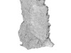
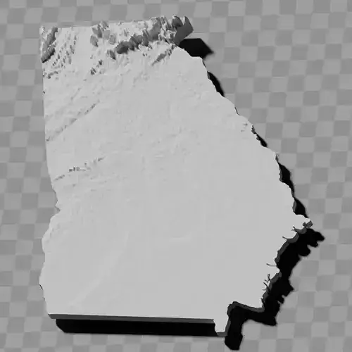
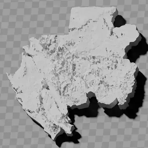
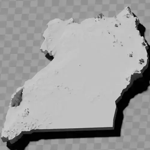
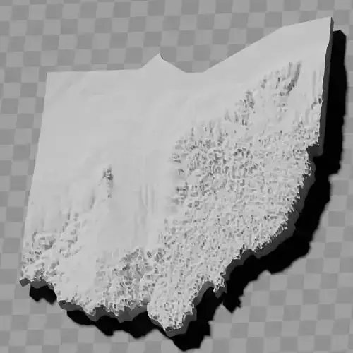
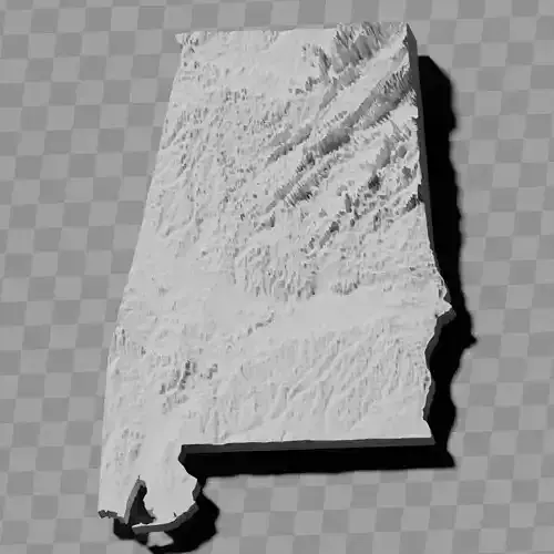
Ghana country topography relief maps collection / geography kit
Includes several models:
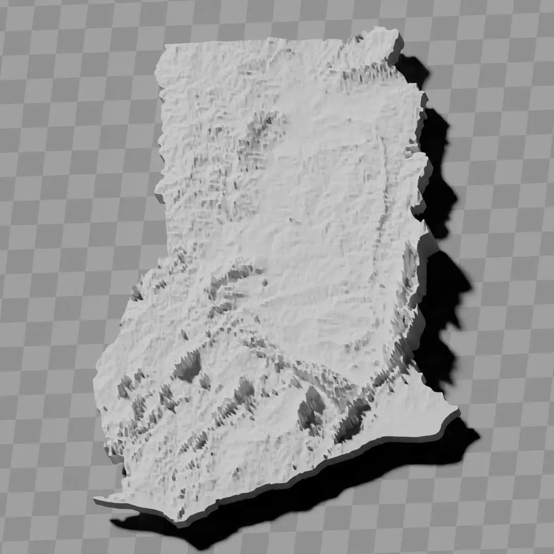
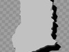
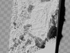
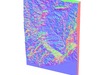
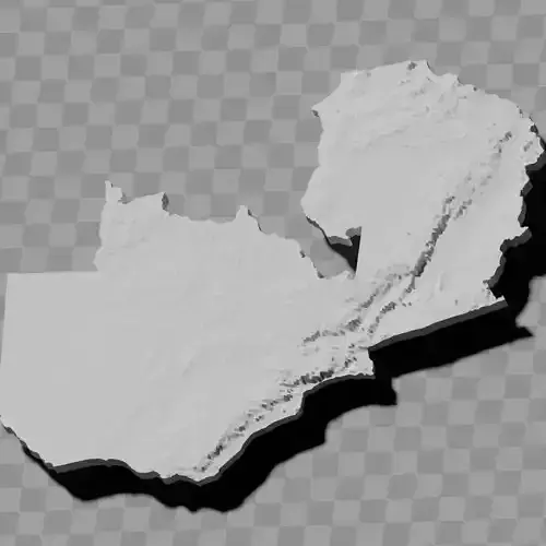
a cutout with exaggerated terrain / topography [Mercator-projection-distorted version + undistorted version]
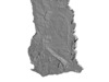
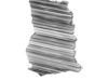
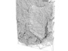
simplified version(s) with reduced polygon counts via quadratic decimation
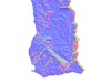
non-cutout versions of the tolopgy [Mercator-projection-distorted version + undistorted version]
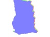
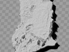
a simple 'prism' [flat-surfaced cutout of the country's boundaries with no topography features added]
'expanded' version which is a convex hull of the prism. You can use this as a 'base' to stabilize the model to avoid problems with small details breaking off if you try to 3d print it.
includes STL and OBJ formats. non-textured.
~~~~~~~~~~~~~~~~~~~~~~~~~~~~~~~~~~~~~~~~~~
Ghana man aseɛ nhyehyɛee mfonini mmoaboa / amanngya nhyehyɛee
Ɛkura mfonini ahorow pii:
mfonini a wɔatwa mu a ɛkyerɛ asaase no su / asaase no nhyehyɛe [Mercator nhyehyɛe a ɛnnyɛ pɛpɛɛpɛ + nea ɛyɛ pɛpɛɛpɛ]
mfonini a wɔayɛ no mmerɛw (ahorow) a wɔde quadratic decimation afa polygon no dodow so
asaase no nhyehyɛe a wɔantwa mu [Mercator nhyehyɛe a ɛnnyɛ pɛpɛɛpɛ + nea ɛyɛ pɛpɛɛpɛ]
'prism' mmerɛw bi [ɔman no ahye a ɛyɛ prɛprɛ a wɔantwa mu a wɔamfa asaase no nhyehyɛe anhyɛ mu]
'expanded' version a ɛyɛ prism no convex hull. Wobɛtumi de wei ayɛ 'ase' de ama mfonini no agyina yie, sɛnea ɛbɛyɛ a sɛ wopɛ sɛ wode 3D printer yɛ a, nkɛtɛnkɛtɛ nketewa no remmɔ.
ɛkura STL ne OBJ formats. Ɛnni texture.