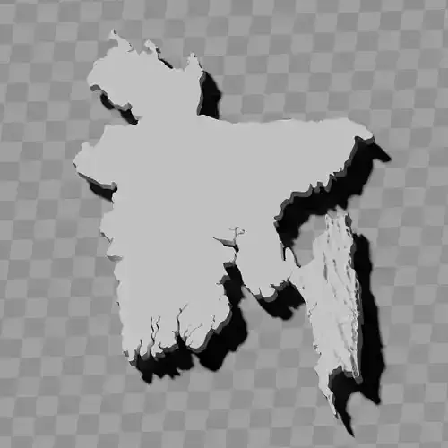
Bangladesh topographic raised relief maps set / geography kit
Includes several models:
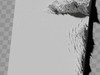
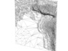
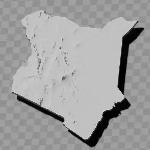
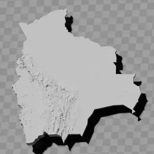
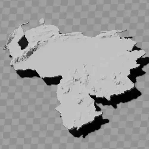
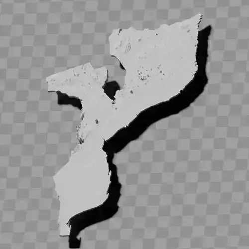
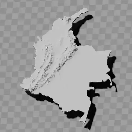
a cutout with exaggerated terrain / topography [Mercator-projection-distorted version + undistorted version]
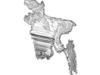
simplified version(s) with reduced polygon counts via quadratic decimation
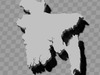
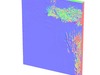
non-cutout versions of the tolopgy [Mercator-projection-distorted version + undistorted version]
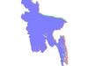
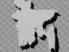
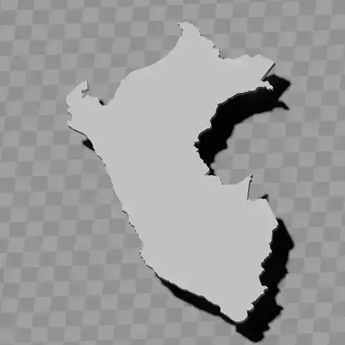
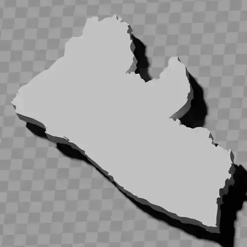
a simple 'prism' [flat-surfaced cutout of the country's boundaries with no topology features added]
'expanded' version which is a convex hull of the prism. You can use this as a 'base' to stabilize the model to avoid problems with small details breaking off if you try to 3d print it.
includes STL and OBJ formats. non-textured.
~~~~~~~~~~~~~~~~~~~~~~~~~~~~~~~~~~~~~~~~~~
বাংলাদেশের স্থলাকৃতিক উচ্চতা প্রদর্শক মানচিত্র সেট / ভূগোল কিট
বেশ কয়েকটি মডেল অন্তর্ভুক্ত:
অতিরঞ্জিত ভূমিরূপ / স্থলাকৃতি সহ কাটআউট [মার্কেটর প্রক্ষেপণ-বিকৃত সংস্করণ + অবিকৃত সংস্করণ]
চতুর্ভুজ হ্রাসকরণের মাধ্যমে কমানো পলিগন সংখ্যা সহ সরলীকৃত সংস্করণ(গুলি)
স্থলাকৃতির নন-কাটআউট সংস্করণ [মার্কেটর প্রক্ষেপণ-বিকৃত সংস্করণ + অবিকৃত সংস্করণ]
একটি সাধারণ 'প্রিজম' [কোনো স্থলাকৃতি বৈশিষ্ট্য যোগ করা ছাড়াই দেশের সীমানার সমতল পৃষ্ঠযুক্ত কাটআউট]
প্রিজমের উত্তল আवरণ যুক্ত 'বর্ধিত' সংস্করণ। 3D প্রিন্ট করার চেষ্টা করলে ছোট বিবরণ ভেঙে যাওয়ার সমস্যা এড়াতে মডেলটি স্থিতিশীল করার জন্য আপনি এটিকে 'বেস' হিসেবে ব্যবহার করতে পারেন।
STL এবং OBJ ফরম্যাট অন্তর্ভুক্ত। টেক্সচার বিহীন।