
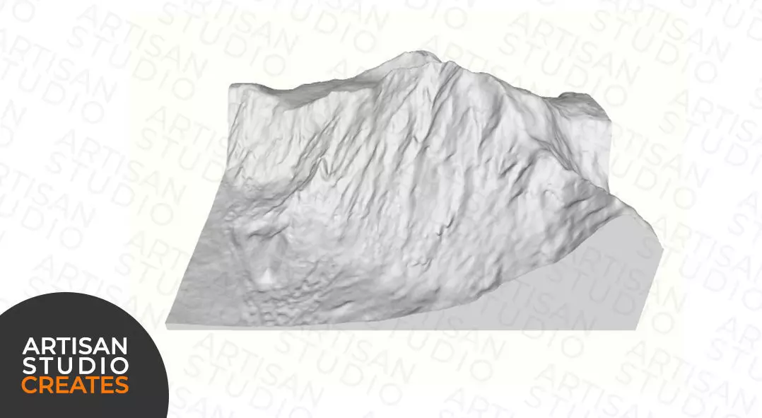
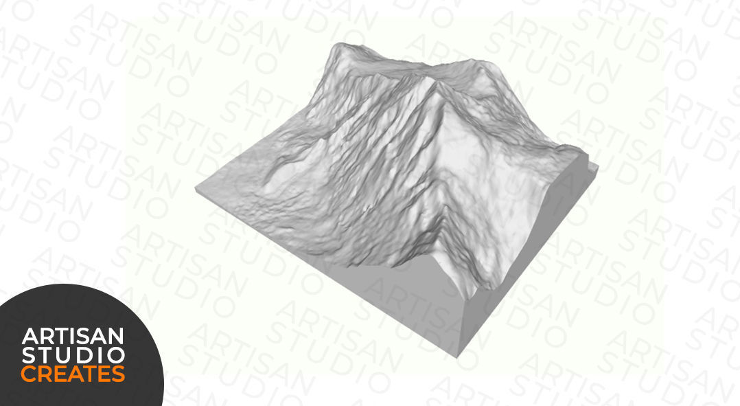
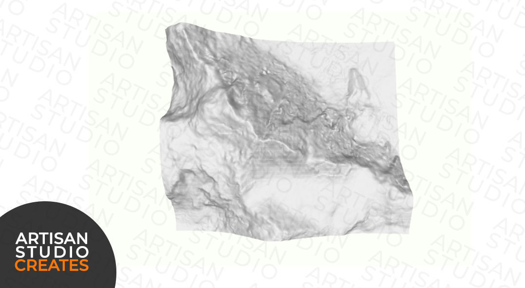
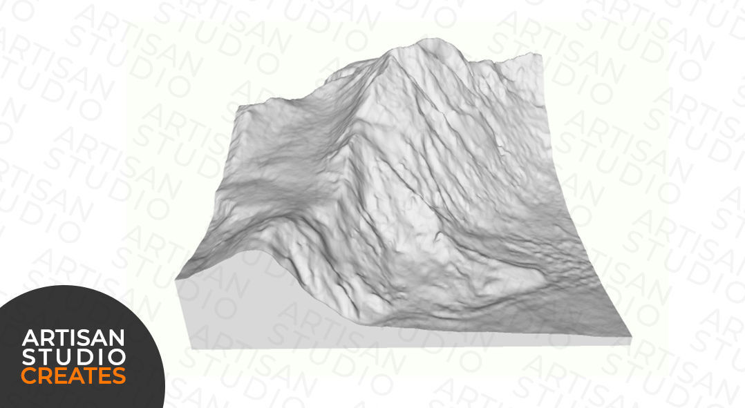
Shishaspangma STL File 3D Topographic Model 3D print model
This comprehensive model integrates real-world topographic data, ensuring a precise depiction of geographical characteristics. It is suitable for production through 3D printing or CNC milling.
Upon purchase, you will receive a link to the compressed file containing the .stl file
If you have any inquiries or encounter any problems with your download, please do not hesitate to contact us.
Accurate representation of topographic features
File size: under 30MBUnlimited personal usageFor 3D printing and CNC machining
LICENSE AGREEMENT:The compressed file is intended solely for personal use. Commercial usage without the author's consent is strictly prohibited to uphold the integrity of this product.
Shishapangma, also spelled Xixabangma, is one of the world's fourteen peaks above 8,000 meters (26,247 feet) and is located entirely within Tibet, China. Standing at 8,027 meters (26,335 feet) above sea level, Shishapangma is the 14th highest mountain on Earth and the lowest of the 8,000-meter peaks. Situated in the Langtang Himal region of the Central Himalayas, Shishapangma lies entirely within Tibet's autonomous region, making it the only 8,000-meter peak located entirely in Tibet. The first successful ascent of Shishapangma occurred in 1964 by a Chinese expedition. Due to political restrictions in Tibet, climbing permits for Shishapangma were not issued to foreign mountaineers until 1978.Shishapangma holds cultural significance in Tibetan Buddhism and is considered sacred by the local Tibetan people. The mountain is believed to be the home of a protective deity.Shishapangma's distinct location and cultural significance, combined with its impressive height, attract climbers and adventurers seeking to conquer the world's highest peaks and explore the beauty of the Himalayas from a unique vantage point.

Similar Models

Users who bought this item also bought...