The United States of America (USA), is a federal republic composed of 50 states, a federal district, five major self-governing territories, and various possessions. At 3.8 million square miles (9.8 million km2) and with over 325 million people, the United States is the world's third- or fourth-largest country by total area and the third-most populous country.The capital is Washington, D.C., and the largest city by population is New York City. Forty-eight states and the capital's federal district are contiguous and in North America between Canada and Mexico. The state of Alaska is in the northwest corner of North America, and the state of Hawaii is an archipelago in the mid-Pacific Ocean.
Paleo-Indians migrated from Siberia to the North American mainland at least 15,000 years ago. European colonization began in the 16th century. The United States emerged from the 13 British colonies established along the East Coast. Numerous disputes between Great Britain and the colonies following the French and Indian War led to the American Revolution, which began in 1775, and the subsequent Declaration of Independence in 1776. The war ended in 1783 with the United States becoming the first country to gain independence from a European power.The current constitution was adopted in 1788, with the first ten amendments, collectively named the Bill of Rights, being ratified in 1791 to guarantee many fundamental civil liberties. The United States embarked on a vigorous expansion across North America throughout the 19th century, acquiring new territories, displacing Native American tribes, and gradually admitting new states until it spanned the continent by 1848.
In 1507, the German cartographer Martin Waldseemuller produced a world map on which he named the lands of the Western Hemisphere America in honor of the Italian explorer and cartographer Amerigo Vespucci. The first documentary evidence of the phrase United States of America is from a letter dated January 2, 1776.
The phrase United States was originally plural, a description of a collection of independent states (as in the United States are). The singular form (as in the United States is) became popular after the end of the American Civil War. The singular form is now standard; the plural form is retained in the idiom these United States. The difference is more significant than usage; it is a difference between a collection of states and a unit.
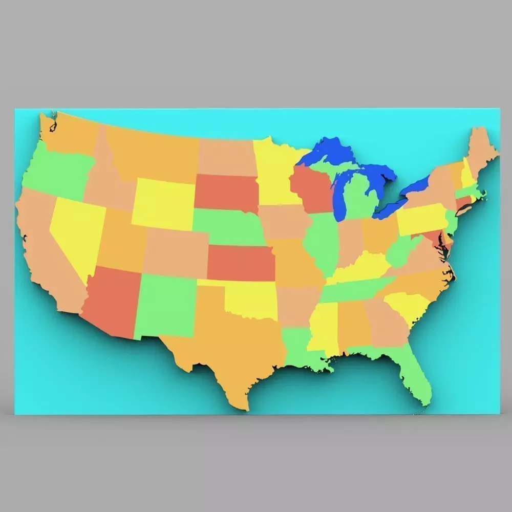
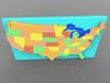
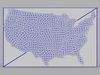
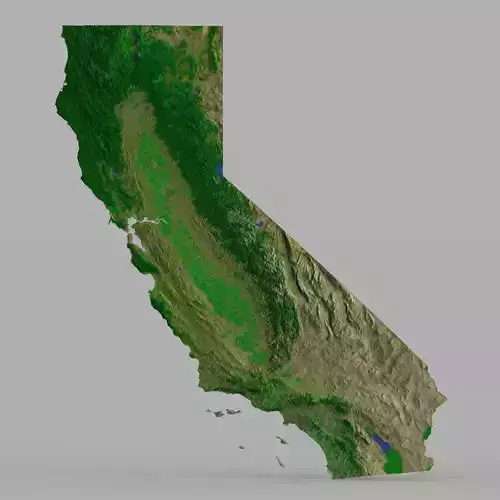
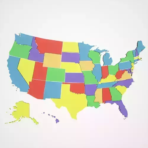
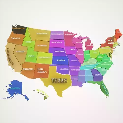
This is a digital model of the contiguous United States; Alaska, Hawaii, and Washington DC are not shown.
Product Features:
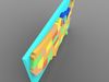
- Approx 17440 polygons.
- Made with 3 and 4 point polygons.
- Includes different colors to separate the states.
- Includes separate parts for all 48 states and the Great Lakes.
- This version includes an mtl file, which your software program should read to colorize the model.
- The model has basic UV mapping and NO textures are included.