
Iraq Satellite Day 9k High resolution Maps and masks Texture
Iraq Satellite Day 9k High resolution Maps and masks
The following files exist in this package :*
iraq_satellite_basecolor.exr - resolution : 9268x9110
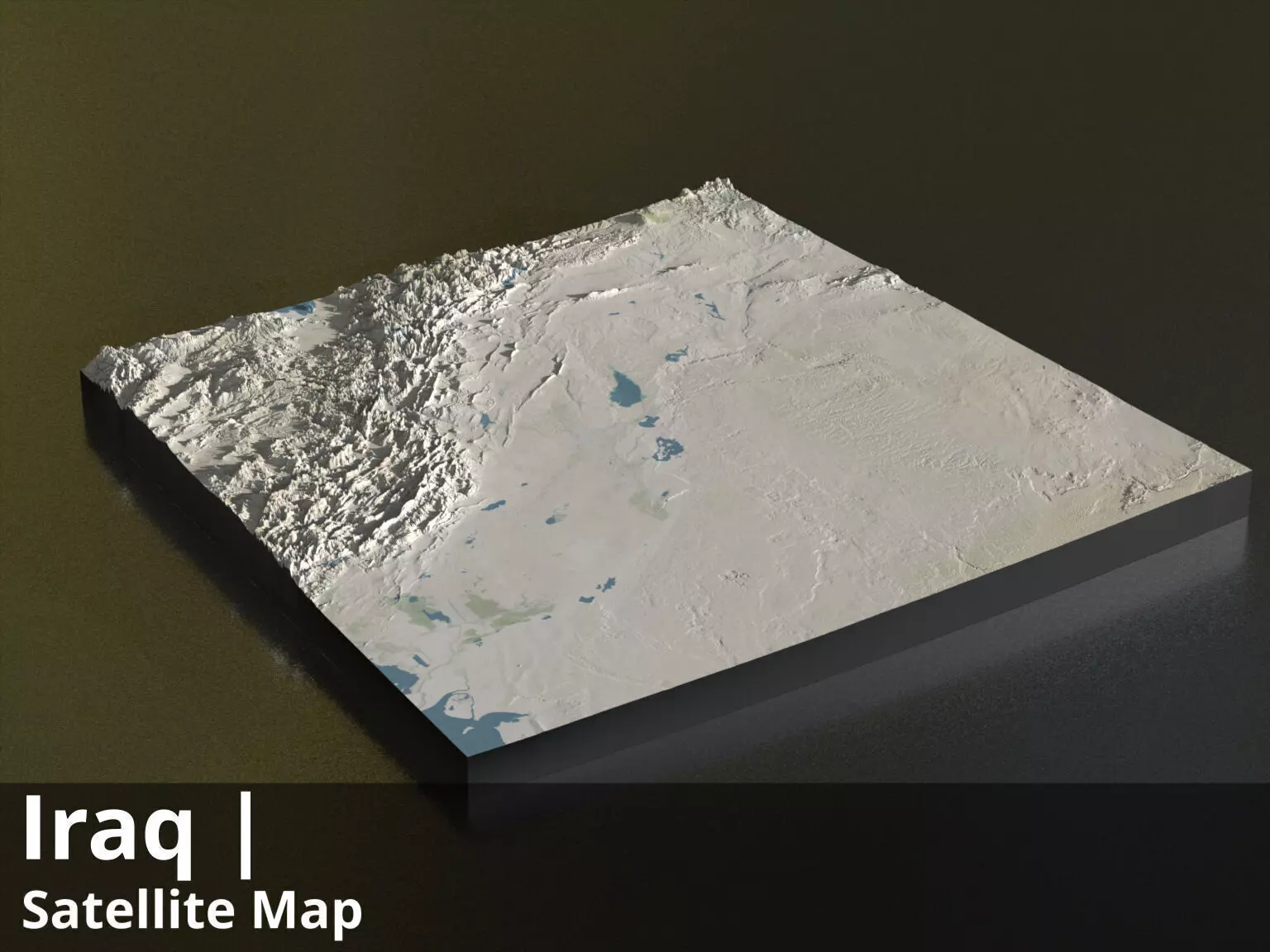
iraq_satellite_basecolor_country3d_all_preview3D_cam1_preview.jpg - resolution : 1536x1152
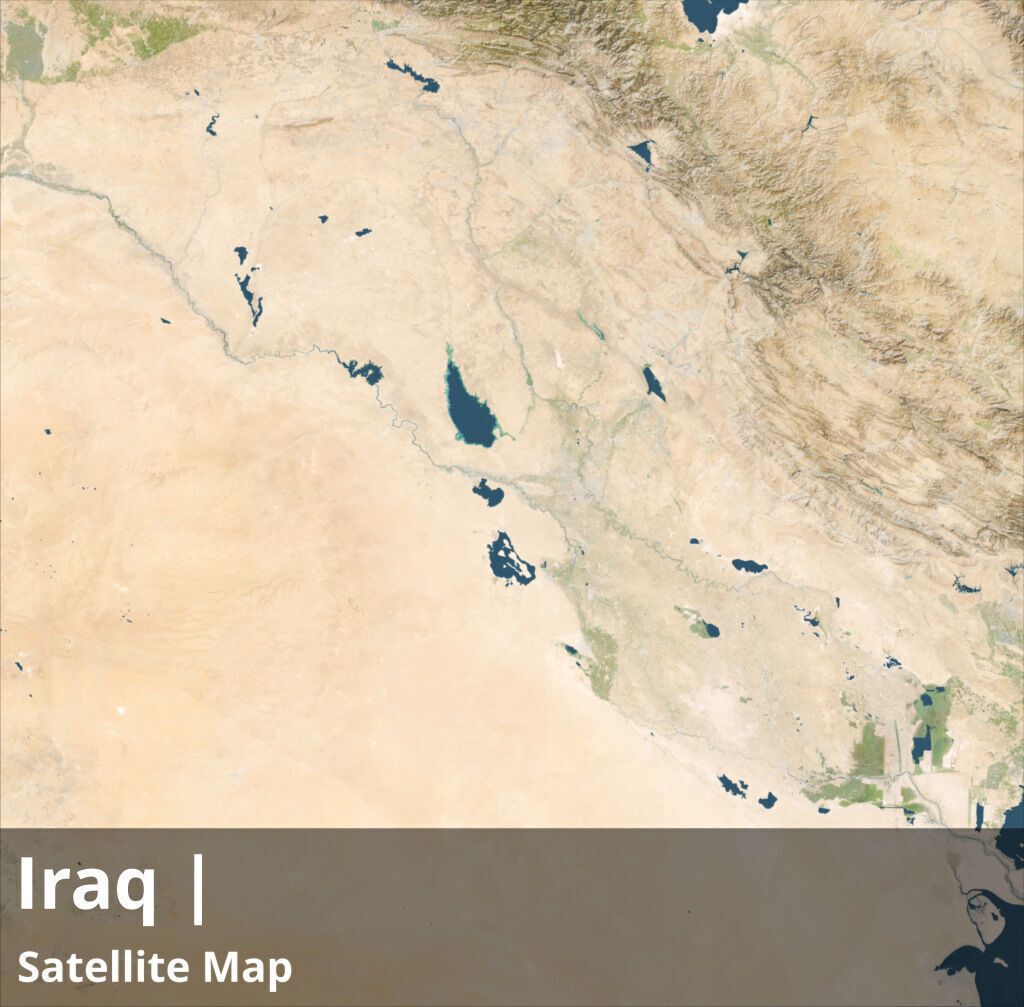
iraq_satellite_preview.jpg - resolution : 1024x1007
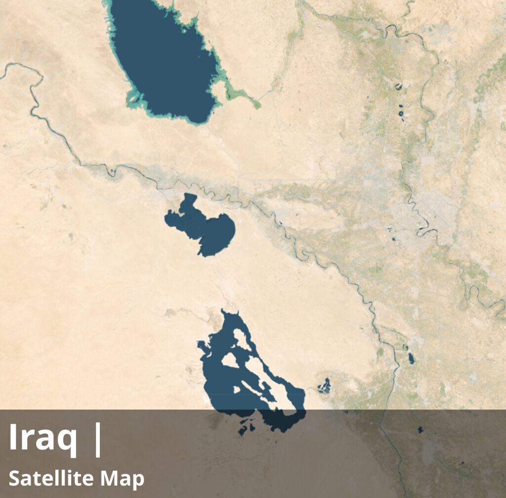
iraq_satellite_preview_2_.jpg - resolution : 1024x1007
iraq_satellite_basecolor.jpg - resolution : 9268x9110
iraq_countryBorder__basecolor.exr - resolution : 9268x9110
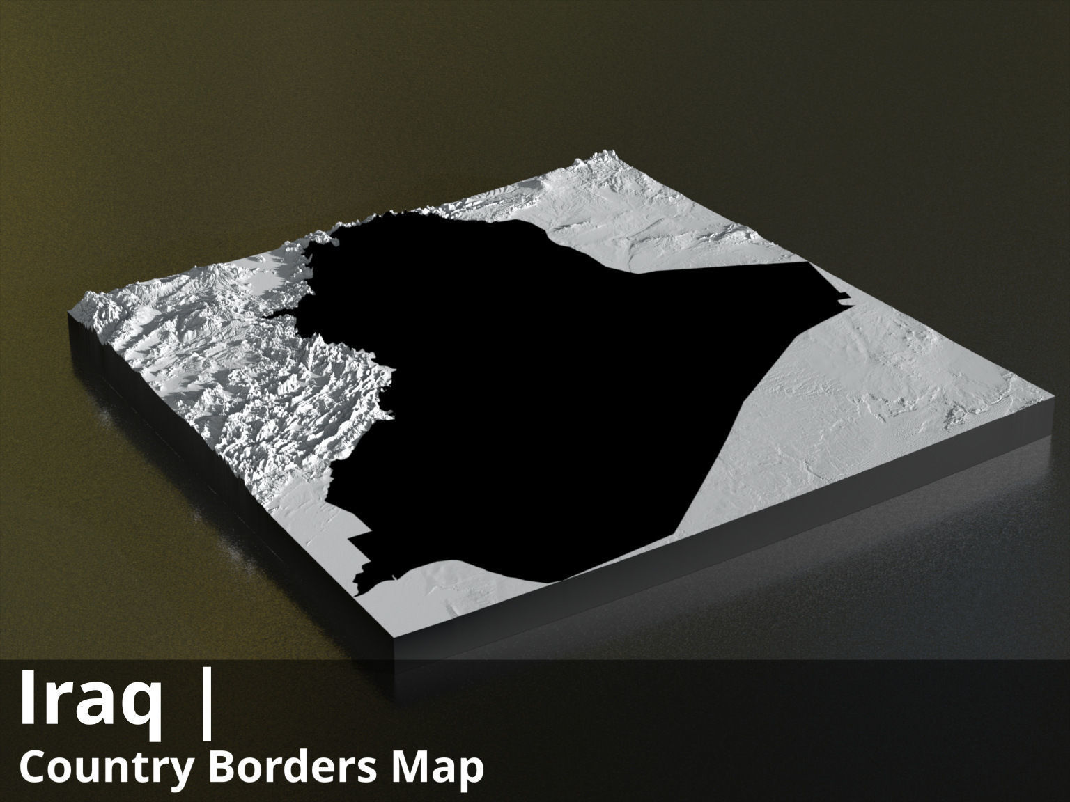
iraq_countryBorder__basecolor_country3d_all_preview3D_cam1_preview.jpg - resolution : 1536x1152
iraq_countryBorder_with_neighbours__basecolor.exr - resolution : 9268x9110
iraq_countryBorder_with_neighbours__basecolor_country3d_all_preview3D_cam1_preview.jpg - resolution : 1536x1152
These textures align to following latitude/longitude coordinates :minimum Latitude : 29.0maximum Latitude : 38.0minimum Longitude : 38.0maximum Longitude : 49.0
Tags :cartography geography world terrain landscapes MakingMapsPretty map globemaker topography openstreetmap satellite countryBorder countryBorder_with_neighbours
Similar Models

Users who bought this item also bought...