
Honduras FBX 3D printable mesh and Displacement 8k Maps Texture
Honduras FBX 3D printable mesh and Displacement 8k High resolution Maps
The following files exist in this package :*
honduras_render_heightlight_Ds_basecolor.exr - resolution : 8904x6542
honduras_render_heightlight_Ds_basecolor.jpg - resolution : 8904x6542
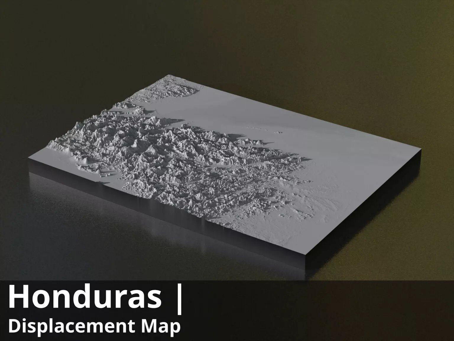
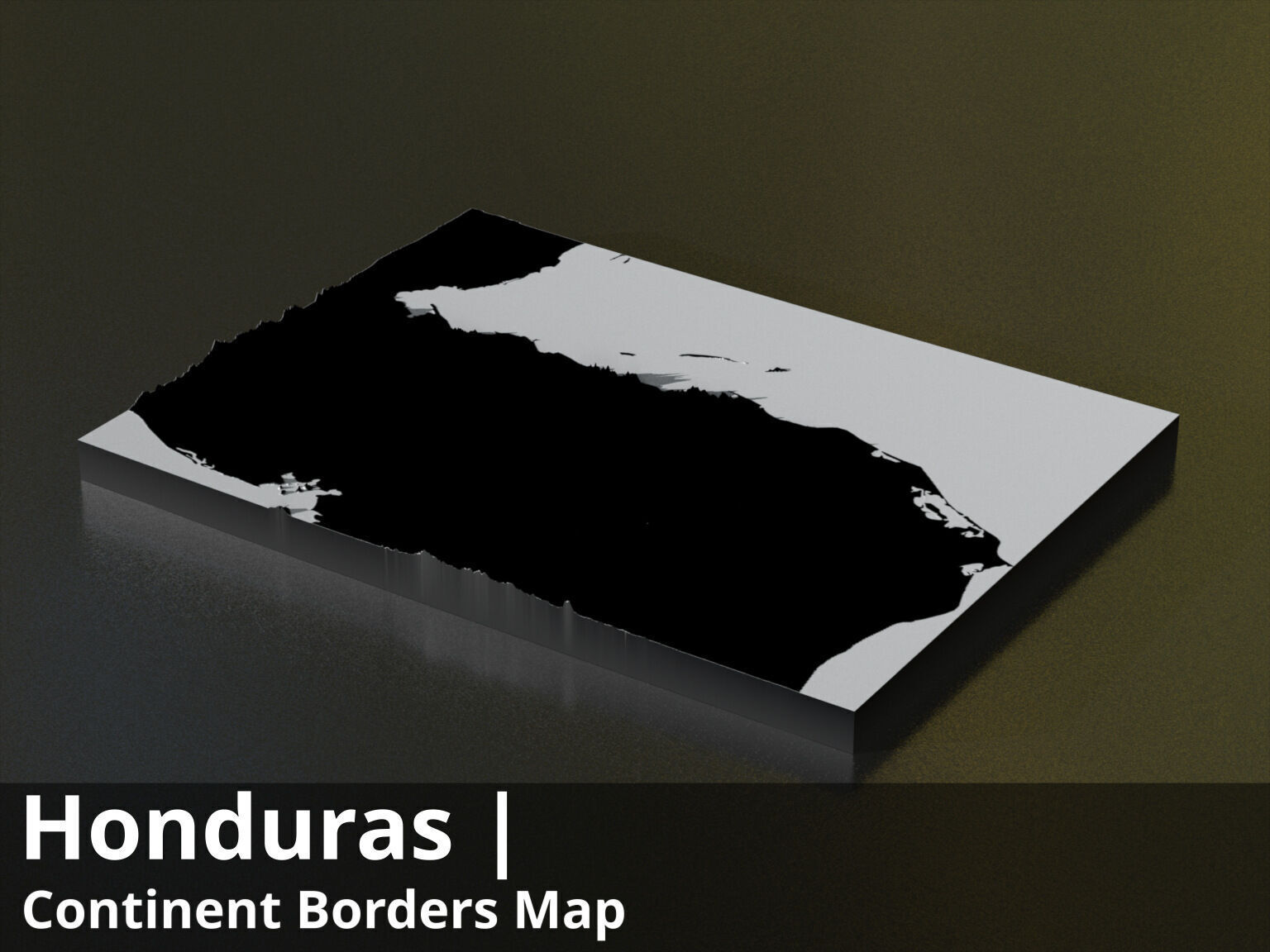
honduras_render_heightlight_Ds_basecolor_country3d_all_preview3D_cam1_preview.jpg - resolution : 1536x1152
honduras_render_heightlight_Ds_preview.jpg - resolution : 1024x752
honduras_render_heightlight_Ds_preview_2_.jpg - resolution : 1024x752
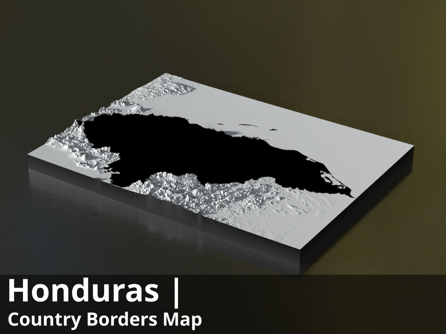
honduras_countryBorder__basecolor.exr - resolution : 8904x6542
honduras_countryBorder__basecolor.jpg - resolution : 8904x6542
honduras_countryBorder__basecolor_country3d_all_preview3D_cam1_preview.jpg - resolution : 1536x1152
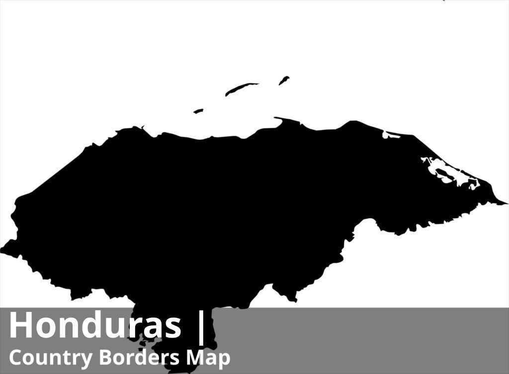
honduras_countryBorder__preview.jpg - resolution : 1024x752
honduras_countryBorder_preview_2.jpg - resolution : 1024x752
honduras_countryBorder_with_neighbours__basecolor.exr - resolution : 8904x6542
honduras_countryBorder_with_neighbours__basecolor.jpg - resolution : 8904x6542
honduras_countryBorder_with_neighbours__basecolor_country3d_all_preview3D_cam1_preview.jpg - resolution : 1536x1152
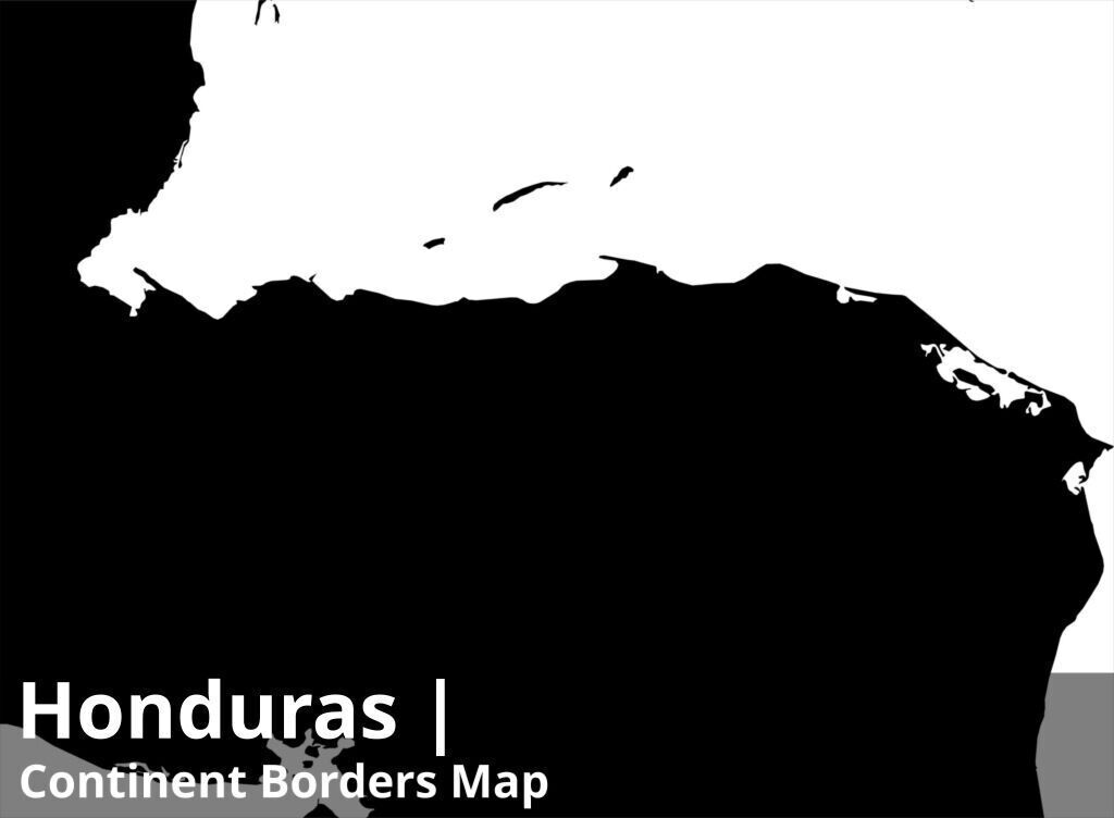
honduras_countryBorder_with_neighbours__preview.jpg - resolution : 1024x752
honduras_countryBorder_with_neighbours_preview_2.jpg - resolution : 1024x752
honduras_all.fbx
honduras_orgRes.fbx
These textures align to following latitude/longitude coordinates :minimum Latitude : 12.0maximum Latitude : 18.0minimum Longitude : -90.0maximum Longitude : -83.0
Tags :cartography geography world terrain landscapes MakingMapsPretty map globemaker topography openstreetmap renderheightlightDs countryBorder countryBorderwithneighbours fbx
Similar Models

Users who bought this item also bought...