
Mali High resolution 30k thickness map Texture
Mali High resolution 30k thickness map
CountryMask = alpha for the country borders, countrySeaMask = all landmass in alpha.
In the files, LatLon means aligned to the following latitude/longitude coordinates :minimum Latitude :10.0maximum Latitude :26minimum Longitude :-13.0maximum Longitude :5
mali_thickness_full0000_thmb0000.jpg - resolution : 1024x994
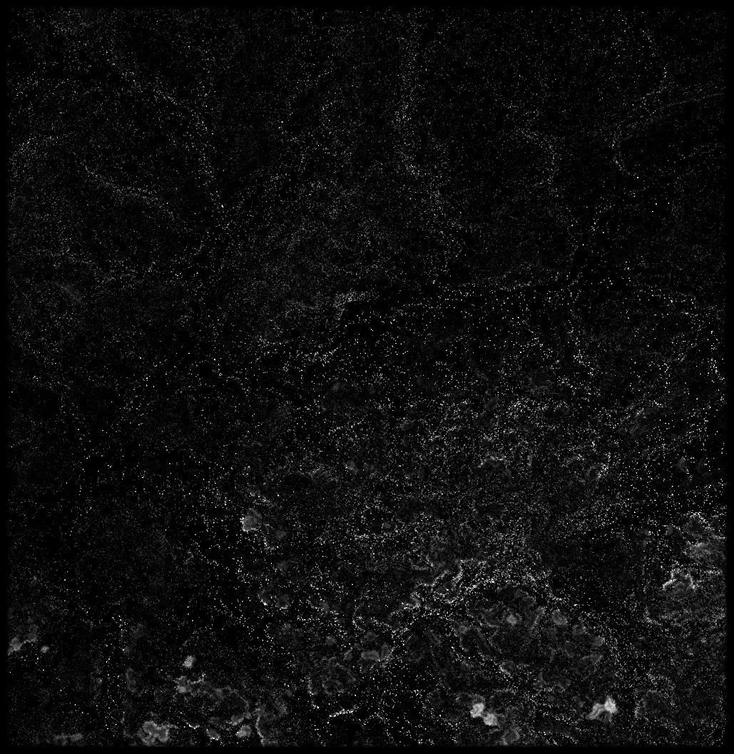
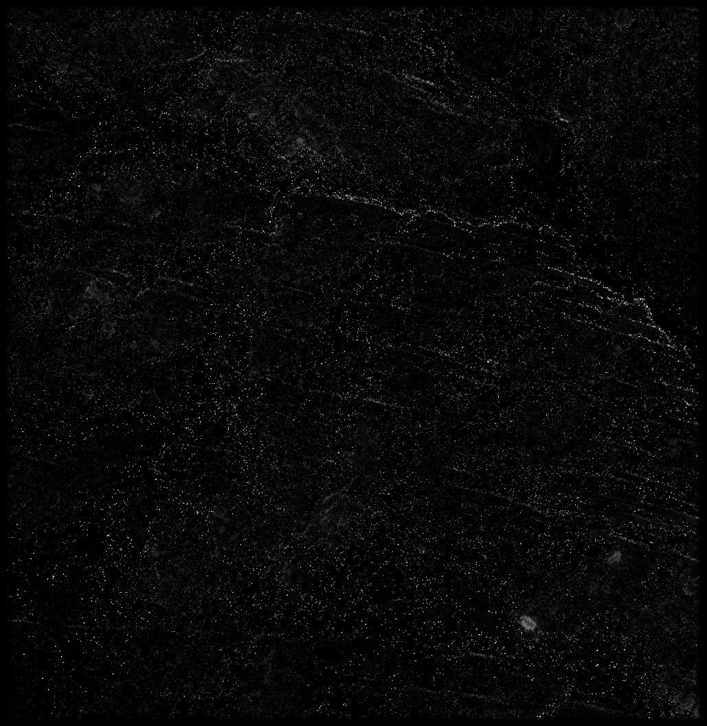
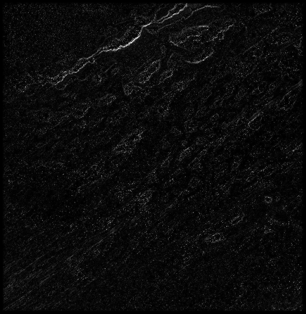
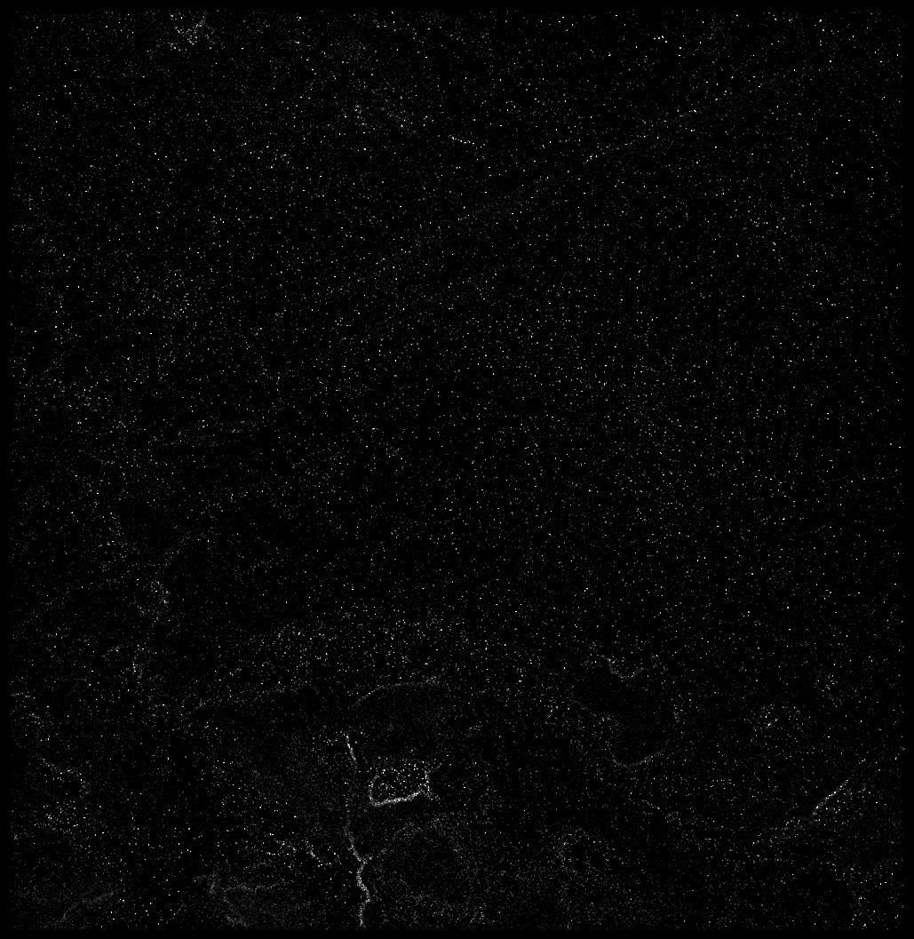
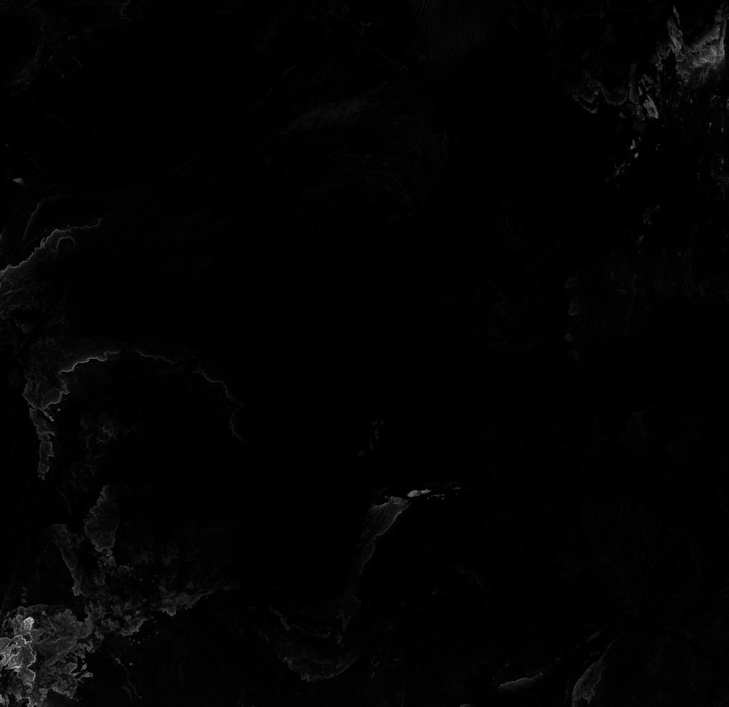
mali_thickness_2_preview0000.jpg - resolution : 1029x1057
mali_thickness_3_preview0000.jpg - resolution : 1029x1057
mali_thickness_full0000.jpg - resolution : 30586x29690
mali_thickness_4_preview0000.jpg - resolution : 1029x1057
mali_thickness_0_preview0000.jpg - resolution : 1029x1057
mali_thickness_1_preview0000.jpg - resolution : 1029x1057
mali_thickness0000.exr - resolution : 30586x29690
mali_render_countryMask_0__basecolor.0.exr - resolution : 30587x29691
mali_render_countrySeaMask_0__basecolor.0.exr - resolution : 30587x29691
tags:heightmap earth longitude latitude world geomapping elevation elevationmap mali
Similar Models

Users who bought this item also bought...