Belgium - Thickness hill tops map of entire country

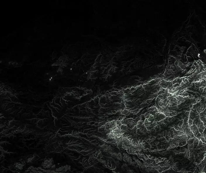
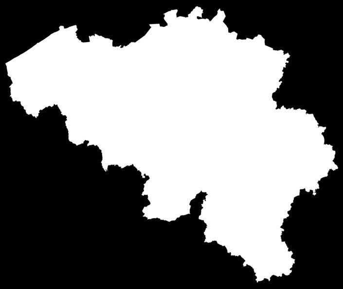
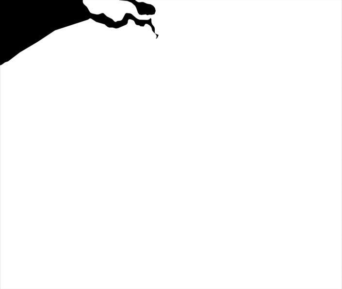
Belgium - Thickness hill tops map of entire country Texture

Description

Composed satellite impression of the hill tops of the entire country of Belgium. Resolution is 14061x11897.

Zip includes the following textures (aligning with each other) : Thickness map in both EXR and JPG landmass mask country mask

Item rating
0 0
Belgium - Thickness hill tops map of entire country
$20.00
 
Royalty Free License 
Belgium - Thickness hill tops map of entire country
$20.00
 
Royalty Free License 
Response 100% in 7.3h
3D Modeling
3D Print Modeling
Low-poly Modeling
Rendering
Rigging
Skinning
UV mapping
Texturing
Shaders
Post Production
3D Scanning
Animating
Hire me

3D Model formats

Format limitations

    3D Model details

    • Publish date2021-04-12
    • Model ID#2981172
    • Animated
    • Rigged
    • VR / AR / Low-poly
    • PBR
    • Geometry -
    • Polygons 0
    • Vertices 0
    • Textures
    • Materials
    • UV Mapping
    • Unwrapped UVs Unknown
    • Plugins used
    • Ready for 3D Printing
    Help
    Chat