Format: MAX FBX OBJ STL
Native:MAX VRAY
Polygons: 720000-11520000
Model size: 727Mx1000M
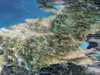
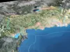
Projection: Mercator GCS_WGS_1984
Textures:
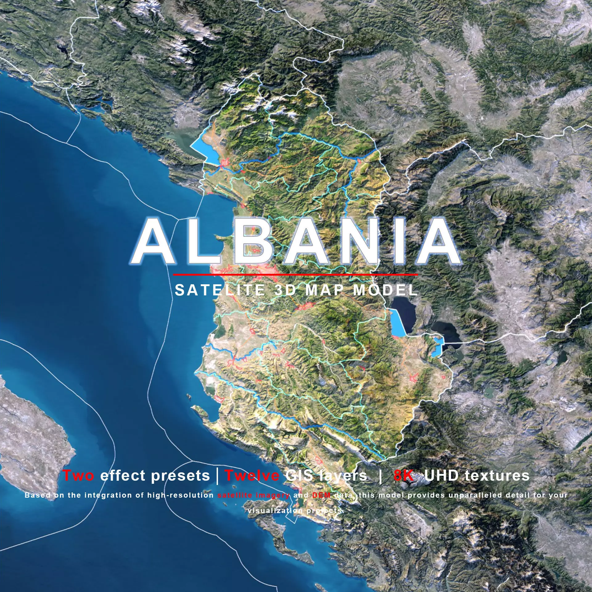
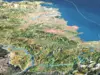
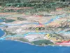
The model includes satellite imagery and masks. The masks are primarily used in material blending to adjust the material representation based on different geographical data. We provide texture maps in 8K resolutions.
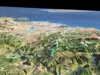
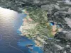
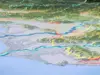
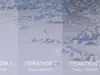
Satellite Image: Level 12 (1:288,895) high-resolution satellite imagery, with Photoshop correction (PS correction) applied to most areas affected by clouds.
DEM (Displacement Map): Used for model displacement/tessellation. Generated from elevation data with ≥ 30-meter accuracy. Can also be used for material displacement effects.
Bump: Generated from elevation data with ≥ 30-meter accuracy, providing rich surface details.
Terrain (Color Map) : Generated from elevation data with ≥ 30-meter accuracy, visually representing altitude and height differences through color.
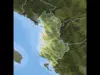
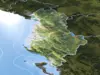
National Border Mask: Used to differentiate between countries/regions. In areas where national boundaries are undetermined, we have marked them with a dashed line based on third-party information.
Country Mask: Used to clearly distinguish the current country/region from its surrounding neighbors.
Administrative Division Mask: Primary (First-level) administrative regions.
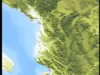
Water System Mask: Primary rivers and lakes.
Ocean Mask: Used when you want to adjust the texture of delicate ocean effects without affecting the landmass.
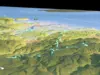
Railway Mask: Primary railway system.
Highway Mask: Primary highway system.
Urban Area Mask: Primary urban areas.
We are a professional modeling company, and the imagery sources (data) used in our models are also obtained from third parties. The information regarding national borders and administrative divisions within these sources does not represent our political stance. If you find any inaccuracies in our products, please inform us so we can make timely corrections. Our models are created in Autodesk 3ds Max, assigned with V-Ray materials, and rendered using the V-Ray renderer. In addition to the native 3ds Max files, we also provide three alternative formats—FBX and OBJ—each available in three different levels of geometric detail.After conversion, all formats are thoroughly tested through re-import to ensure file integrity and accuracy. Please note that prior to format conversion, V-Ray materials are converted to standard 3ds Max materials with diffuse and bump maps applied. Therefore, when using the models in 3D software other than 3ds Max, materials may need to be adjusted according to the material system and rendering standards of the target application.