
jokoapridinoto
cool

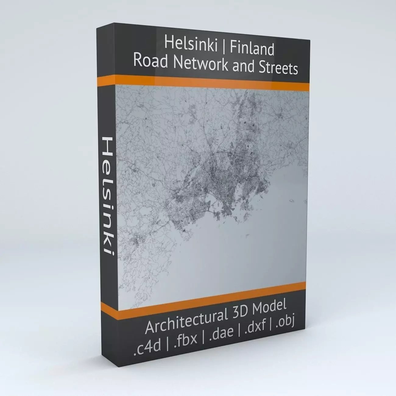
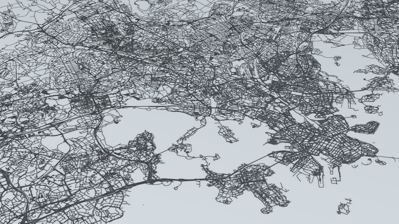
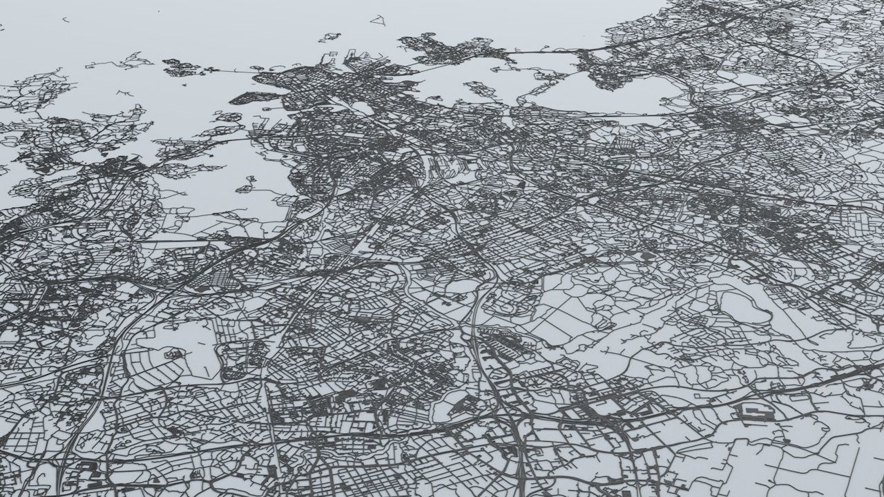
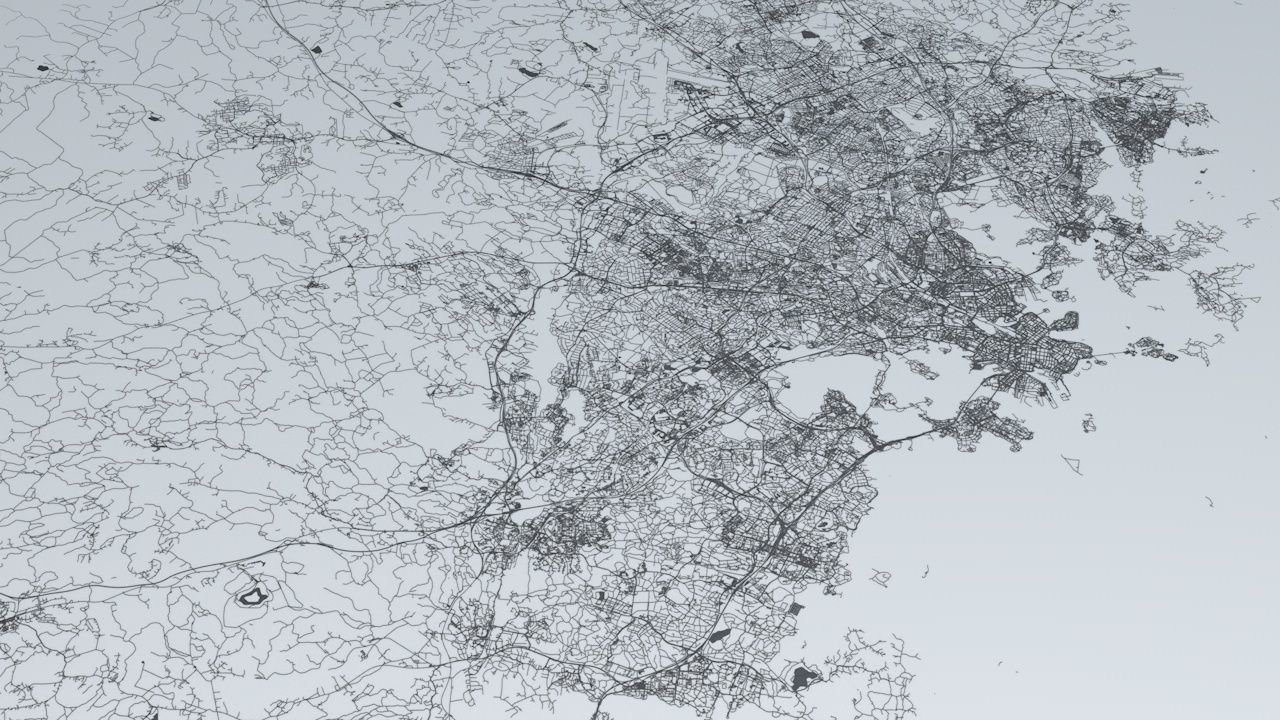
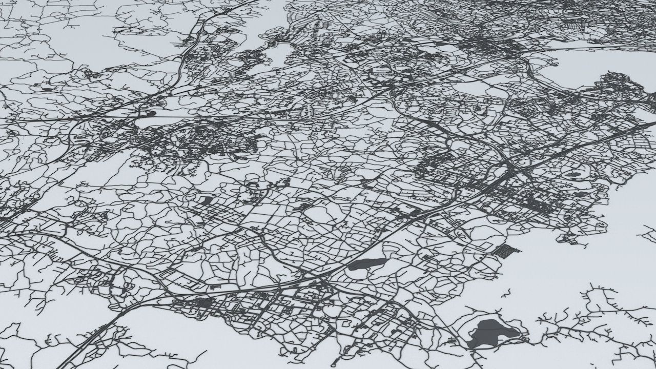
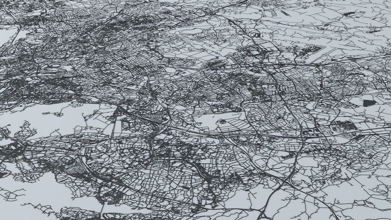
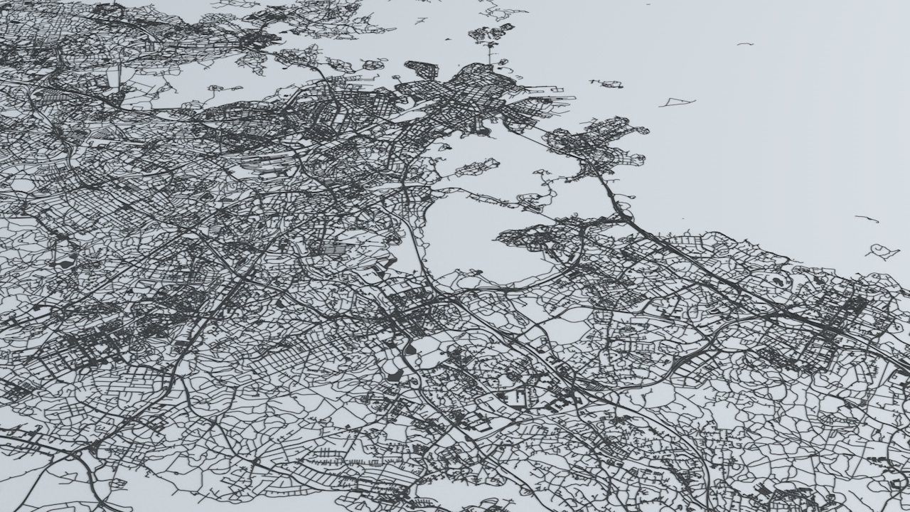
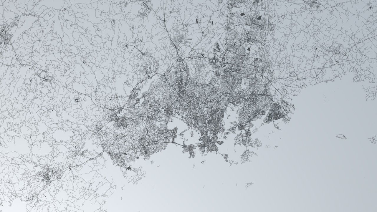
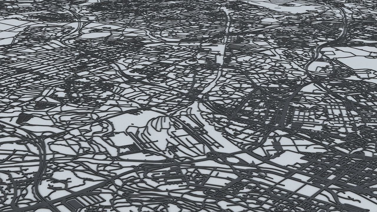
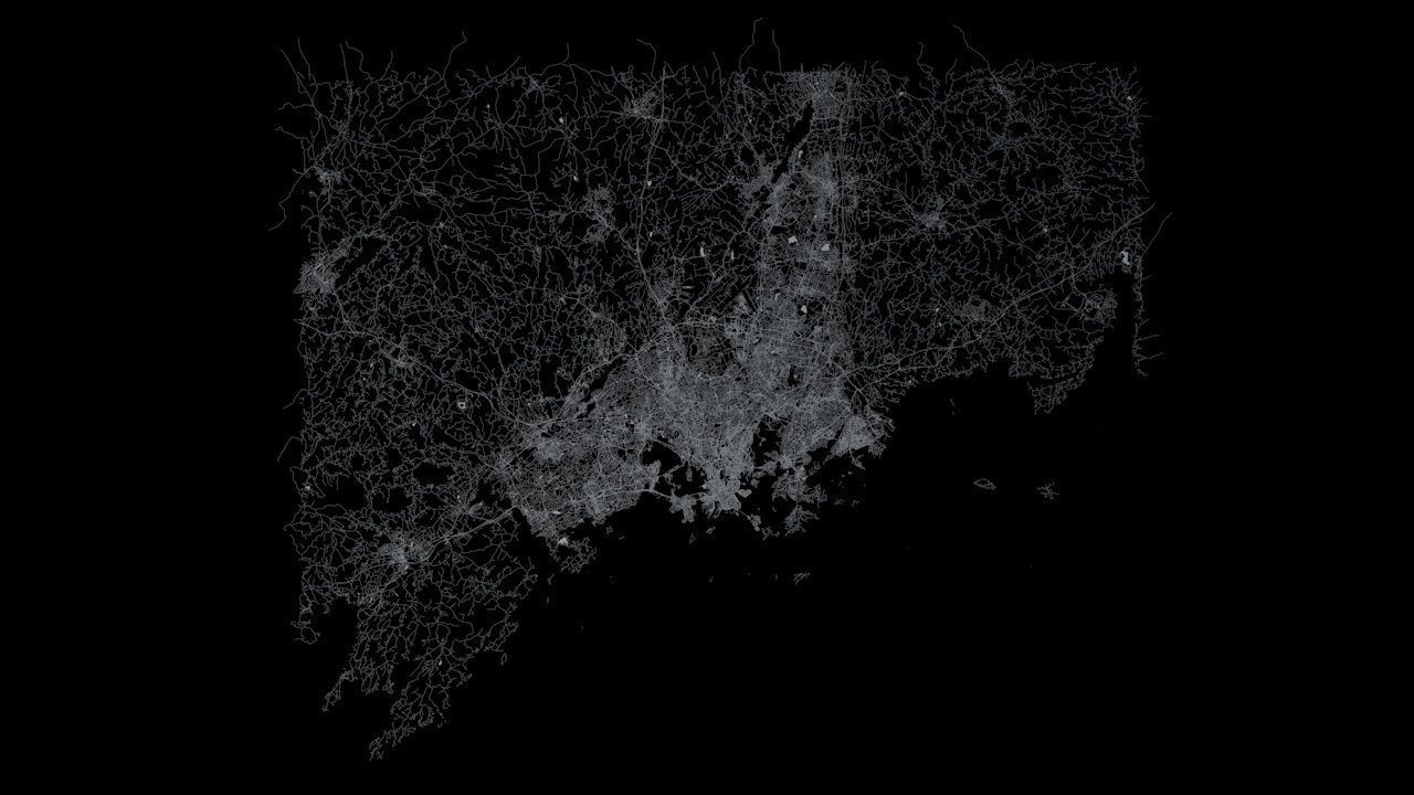
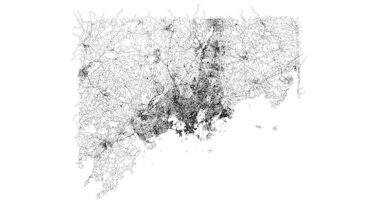
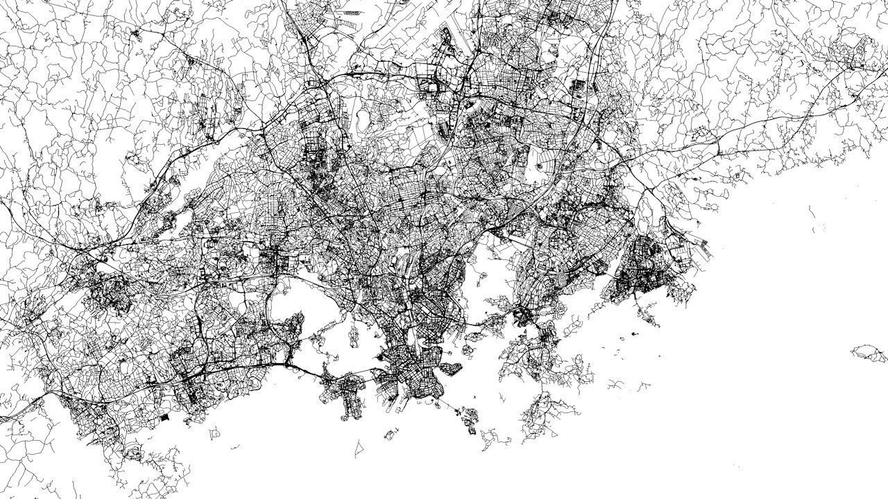
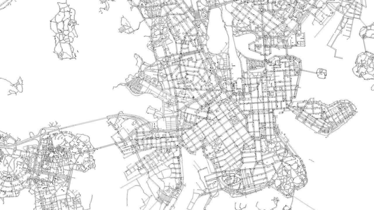
- this model is based on real data therefore this is a realistic road network and streets setup of Helsinki Area, Finland- the area covers the city of Helsinki, Espoo, Vantaa and a more smaller towns in the Helsinki Area- 2 objects included | 1. roads and streets 2. squares and plazas- UV mapped with overlapping UVs- the model is positioned on a flat surface (road network is on the “floor” - no elevation data included)- geometry is polygonal quads and tris- model is untextured and renders fast- this 3D model is/can be licensed (commercial use is fine) under Creative Commons Attribution-ShareALike 2.0 (CC-BY-SA) license- buildings and streets data from OpenStreetMap / www.openstreetmap.org
Attribution : © OpenStreetMap contributors / http://www.openstreetmap.org/copyright
POINTS/VERTS : 4971543POLYGONS : 5109171
- .c4d - native format- .fbx - v7.1- .dae - v1.5- .dxf- .obj

