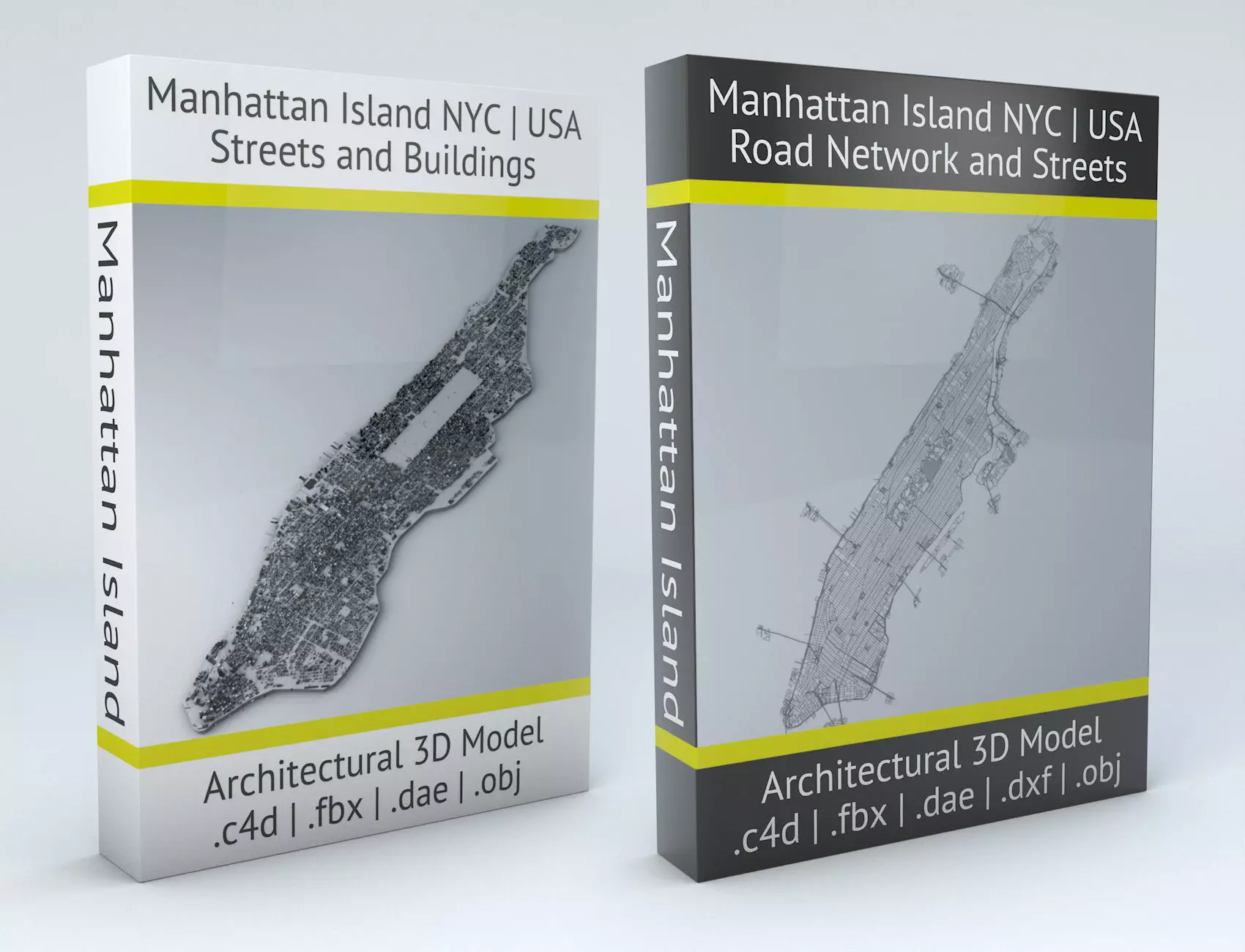
This is a bundle product including Manhattan Island New York City Road Network and Streets & New York City Manhattan Island Streets and BuildingsSave 49 USD with this bundle.149 instead of 198.Plus you can get extra CGTrader discounts.
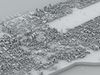
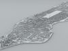
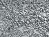
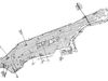
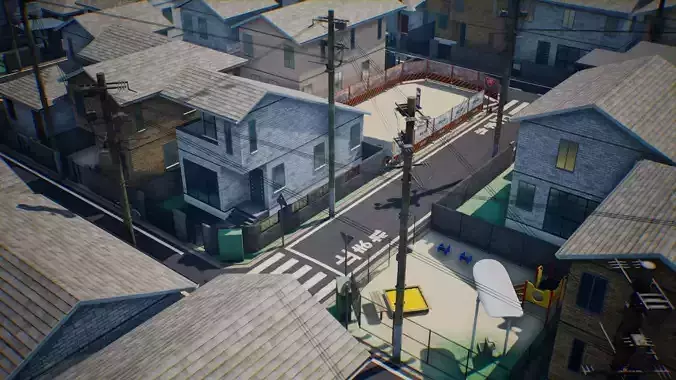
New York City Manhattan Island Streets and Buildings
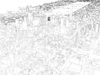
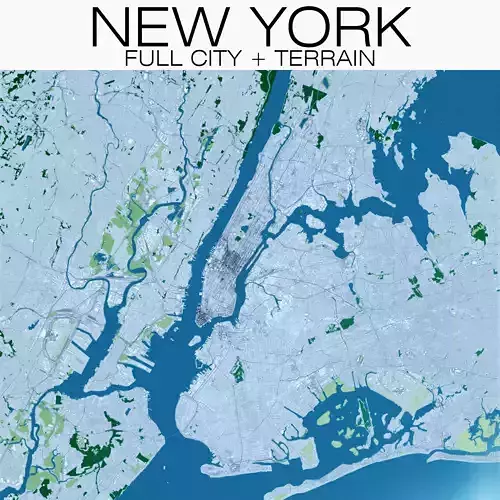
- this model is based on real data therefore this is a realistic buildings and streets setup of Manhattan Island in New York City, USA
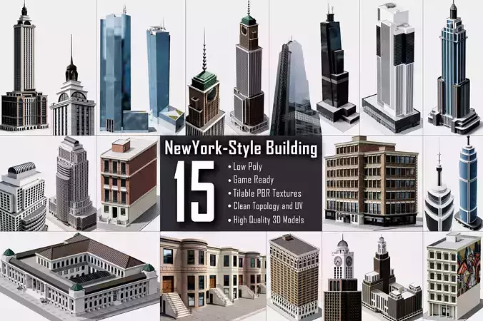
- 15 building groups, separated to top and side parts of the buildings, are setup so that you can add variety to buildings (color materials and/or textures) Groups can be turned off/on
- UV mapped with overlapping UVs
- the model is positioned on a flat surface (all buildings are on the “floor” - no elevation data included)
- geometry is polygonal quads and tris
- model is untextured and renders fast
- FREE / gratis Manhattan Island low poly model included
- this 3D model is/can be licensed (commercial use is fine) under Creative Commons Attribution-ShareALike 2.0 (CC-BY-SA) license
- buildings and streets data from OpenStreetMap / www.openstreetmap.org
Attribution : © OpenStreetMap contributors / http://www.openstreetmap.org/copyright
POINTS/VERTS : 916517POLYGONS : 455216
- .c4d - native format
- .fbx - v7.1
- .dae - v1.5
- .obj
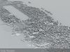
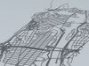
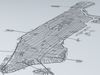
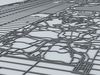
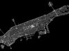
Manhattan Island New York City Road Network and Streets
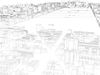
- this model is based on real data therefore this is a realistic road network and streets setup of Manhattan Island in New York City, USA
- 2 objects included | 1. roads and streets 2. squares and plazas
- UV mapped with overlapping UVs
- the model is positioned on a flat surface (road network is on the “floor” - no elevation data included)
- geometry is polygonal quads and tris
- model is untextured and renders fast
- this model is fully compatible with the “Manhattan Island NYC Buildings and Streets” 3D model and vice versa
- this 3D model is/can be licensed (commercial use is fine) under Creative Commons Attribution-ShareALike 2.0 (CC-BY-SA) license
- buildings and streets data from OpenStreetMap / www.openstreetmap.org
Attribution : © OpenStreetMap contributors / http://www.openstreetmap.org/copyright
POINTS/VERTS : 310574POLYGONS : 312255
- .c4d - native format
- .fbx - v7.1
- .dae - v1.5
- .dxf
- .obj