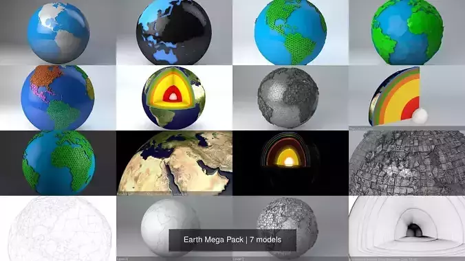
Belfast Road Network and Streets

Belfast Road Network and Streets 3D model

Description

Belfast Road Network and Streets

  • this model is based on real data therefore this is a realistic road network and streets setup of Belfast, Northern Ireland
  • 2 objects included | 1. roads and streets 2. squares and plazas
  • UV mapped with overlapping UVs
  • the model is positioned on a flat surface (road network is on the “floor” - no elevation data included)
  • geometry is polygonal quads and tris
  • model is untextured and renders fast
  • this 3D model is/can be licensed (commercial use is fine) under Creative Commons Attribution-ShareALike 2.0 (CC-BY-SA) license
  • buildings and streets data from OpenStreetMap / www.openstreetmap.org

  • this model is compatible with the Belfast Streets and Buildings 3D Model : https://www.cgtrader.com/3d-models/architectural/street/belfast-streets-and-buildings

  • Attribution : © OpenStreetMap contributors / http://www.openstreetmap.org/copyright

POINTS/VERTS : 1776852 POLYGONS : 1415167

  • .c4d - native format
  • .fbx - v7.1
  • .dae - v1.5
  • .dxf
  • .obj
  • .blend
Item rating
0 0
Belfast Road Network and Streets
$29.00
 
Custom License 
Belfast Road Network and Streets
$29.00
 
Custom License 
Response 78% in 1.8h
3D Modeling
Low-poly Modeling
UV mapping
Texturing
Post Production

3D Model formats

Format limitations
Native
  • Cinema 4D R19 (.c4d)31.5 MB
Exchange
  • Collada 1.5 (.dae)27.1 MB
  • Autodesk FBX 7.1 (.fbx)36.5 MB
  • DXF (.dxf)25.1 MB
  • OBJ (.obj, .mtl)51.8 MB
  • Blender 2.7 (.blend)59.2 MB

3D Model details

  • Publish date2018-11-21
  • Model ID#1829732
  • Animated
  • Rigged
  • VR / AR / Low-poly
  • PBR
  • Geometry Polygon mesh
  • Polygons 1,415,167
  • Vertices 1,776,852
  • Textures
  • Materials
  • UV Mapping
  • Unwrapped UVs Non-overlapping
  • Plugins used
  • Ready for 3D Printing
Help
Chat