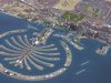
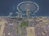
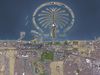
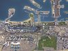
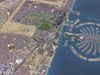
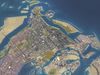
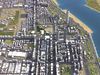
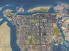
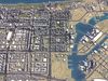
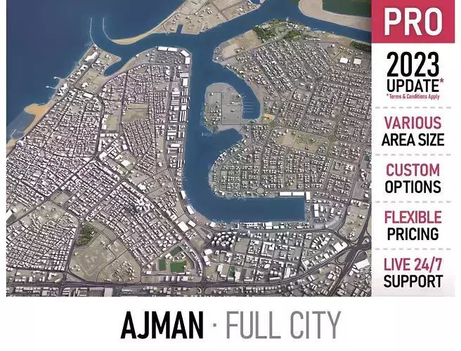
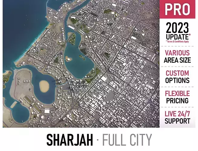
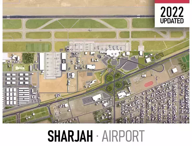
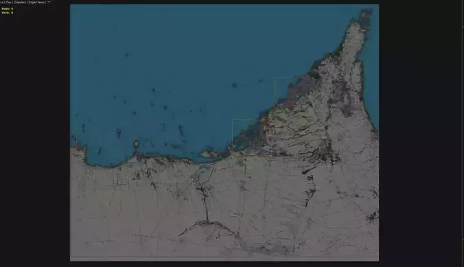
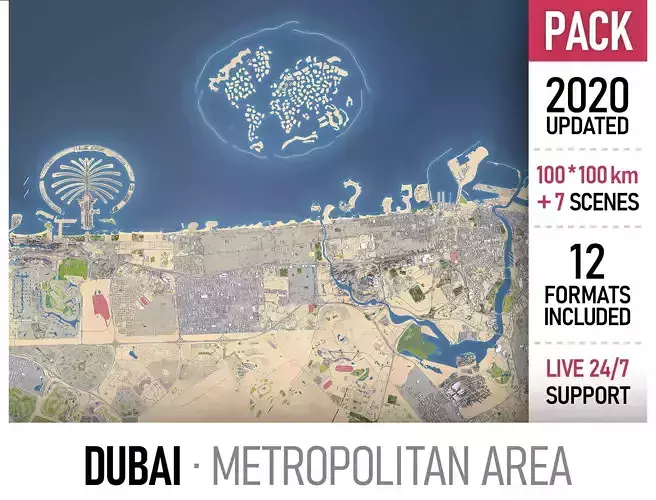
United Arab Emirates - UAE 3D Model Collection
The collection consists of:8 models total
3D Model | Low-poly | PBR | .dwg | .fbx | .dxf | .obj | .skp | .max | .dae | .mtl | .unitypackage | .prefab |
---|---|---|---|---|---|---|---|---|---|---|---|---|
his is exact and accurate to scale 3D city model of United Arab Emirates - UAE and its surrounding area based on GIS data (May 2020)
- File units: Meters
- Scale: 1:1
PACKAGE CONTENTS
- This collection includes all major cities and airports
- Abu Dhabi
- Abu Dhabi International Airport (AUH)
- Ajman
- Al Ain
- Dubai
- Dubai International Airport (DXB)
- Dubai Al Maktoum International Airport (DWC)
- Fujairah
- Ras al-Khaimah
- Sharjah
- Umm al-Quwain
- FORMATS INCLUDED
- MAX - Autodesk 3dsMax
- FBX, OBJ, DAE - Exchange Format
- UNITYPACKAGE - Unity 3D
- 3DM - Rhino 3D
- SKP - SketchUp
- BLEND - Blender
- C4D - Cinema4D
- MA, MB - Autodesk Maya
- DWG, DXF - Autodesk AutoCAD
- RVT - Autodesk Revit / request
PRODUCT INFO
- KEY BENEFITS
- Live 24/7 support (format conversion, software adjustment, area cropping, etc.)
- This 3D city model is georeferenced, exact and accurate to real-world scale
- Buildings, landuse areas, roads and railways split by type (see scene structure)
- The surface is flat, easy to add details and edit geometry (terrain on request)
- Realistic low-poly trees and forests
- EXTRAS (on request)
- Administrative boundaries of all levels (named polygons or outlines)
- Road and railway splines for traffic animation
- Public transport stops with names
- PRESENTATION IMAGES
- Product is ready to render out-of-the-box (3dsmax + corona renderer)
- 4K high-resolution realistic renderings (refer to images for level of detail)
- MATERIALS
- Buildings are UVW mapped, split by material IDs, no textures assigned
- Trees, vegetation, landuse and airport surface with the textures assigned
SCENE STRUCTURE - model is organized by layers, all objects split by type and named properly
- BUILDINGS
- residential
- commercial
- industrial
- public
- sports
- parkings
- transport
- ROADS
- highways
- primary
- secondary
- tertiary
- residential
- service
- RAILWAYS
- train
- city tram
- subway
- monorail
- PAVEMENT
- sidewalk
- footway
- cycleway
- LANDUSE
- residential
- public
- industrial
- construction
- agriculture
- VEGETATION
- forest
- grass
- scrub
- park
- garden
- cemetery
- recreation
- NATURAL
- land
- sea
- lake
- river
- AIRPORT
- building (terminal, gates)
- apron
- taxiway
- runway
SUPPORT - please send us a message 24/7
- FREE - Product update with the latest GIS data
- $299+ - Request any other city or area (same day delivery)
- $199+ - Add terrain based on SRTM or LIDAR elevation data (3-5 LODs optimized)
This product has no reviews yet