


Useto navigate. Pressescto quit
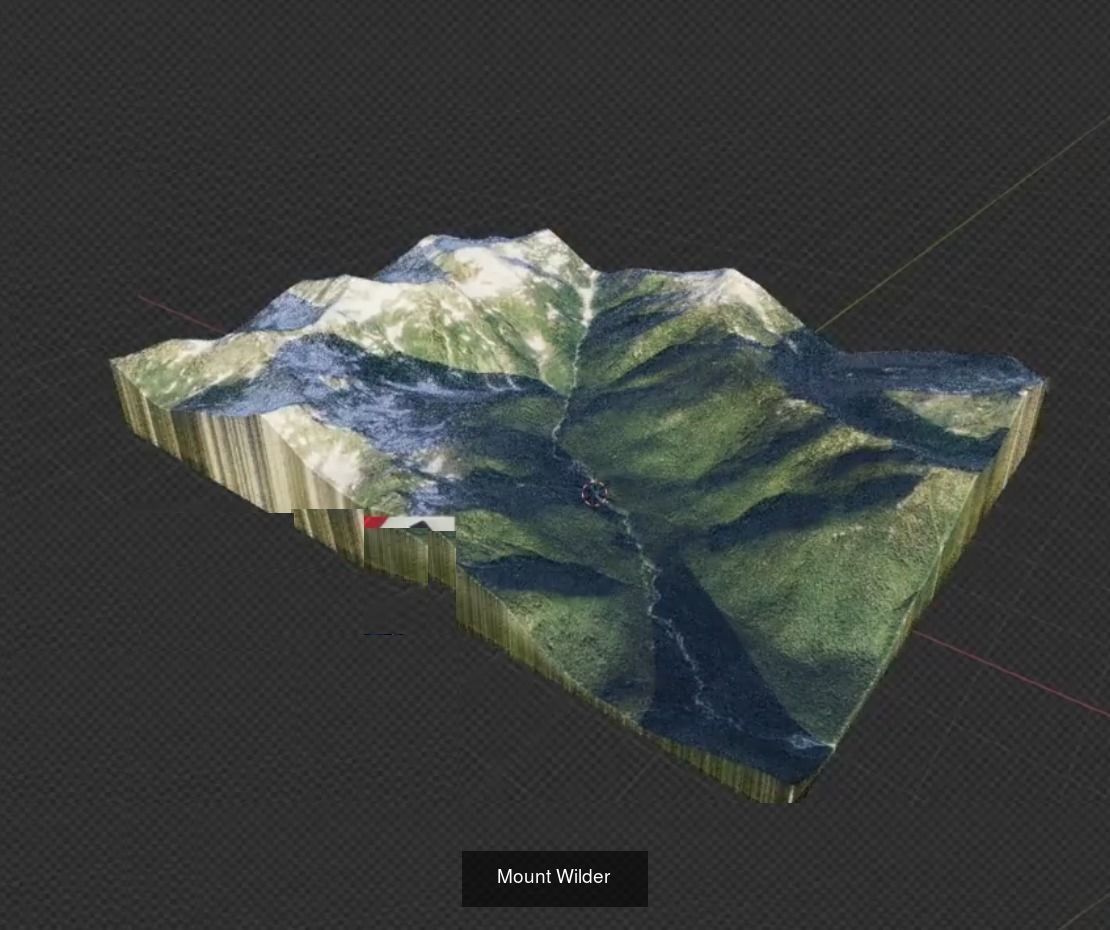
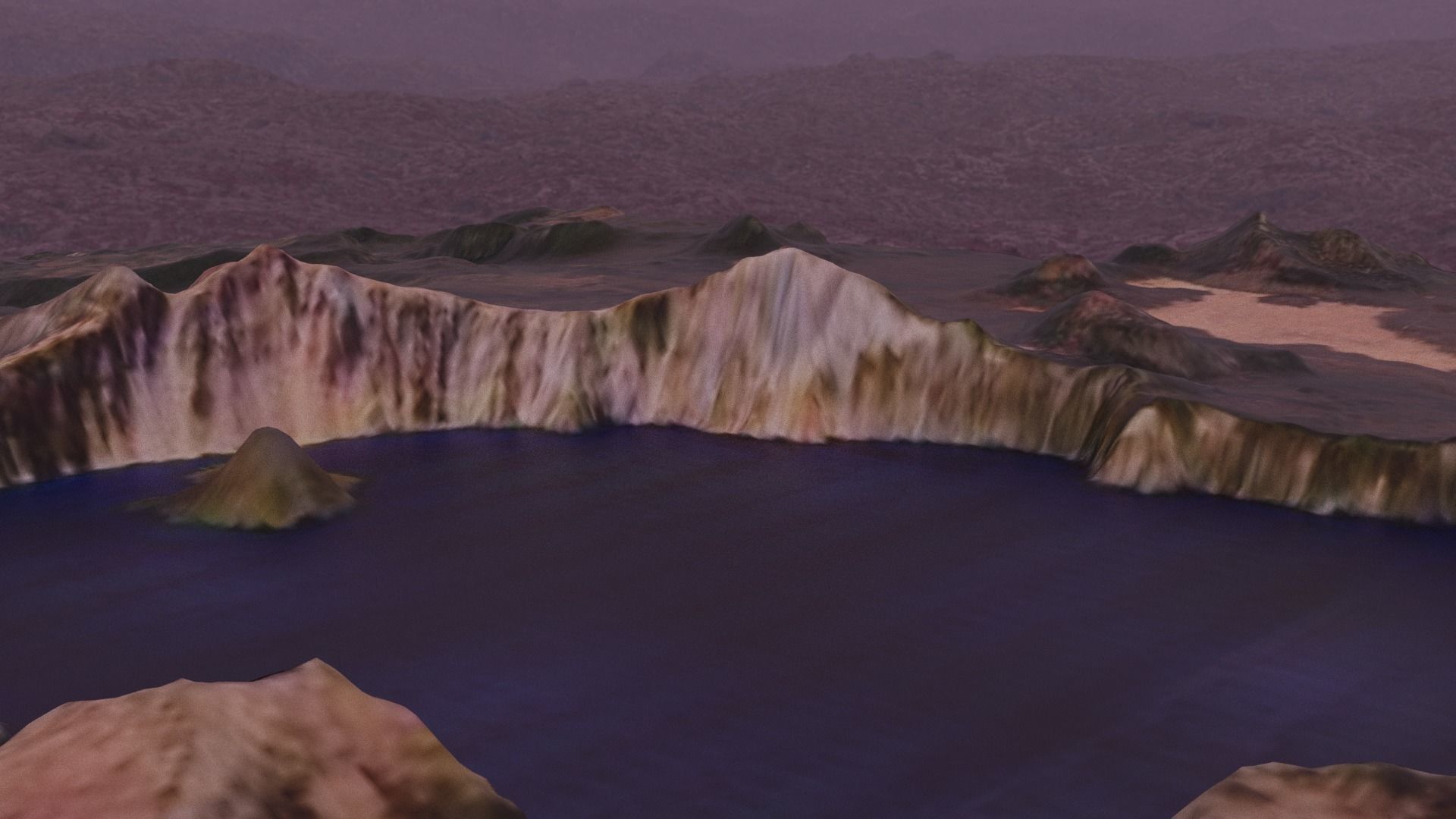
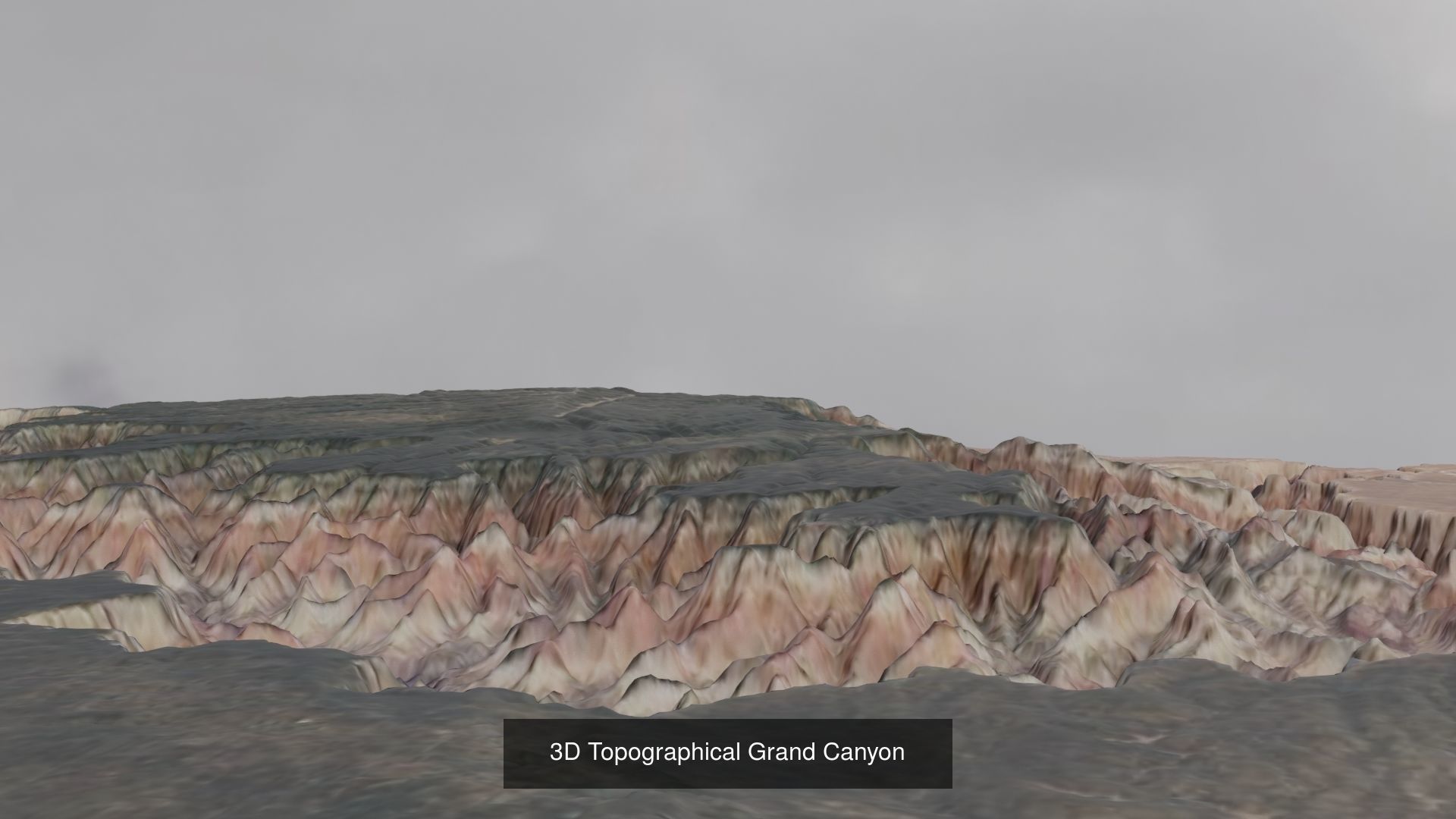
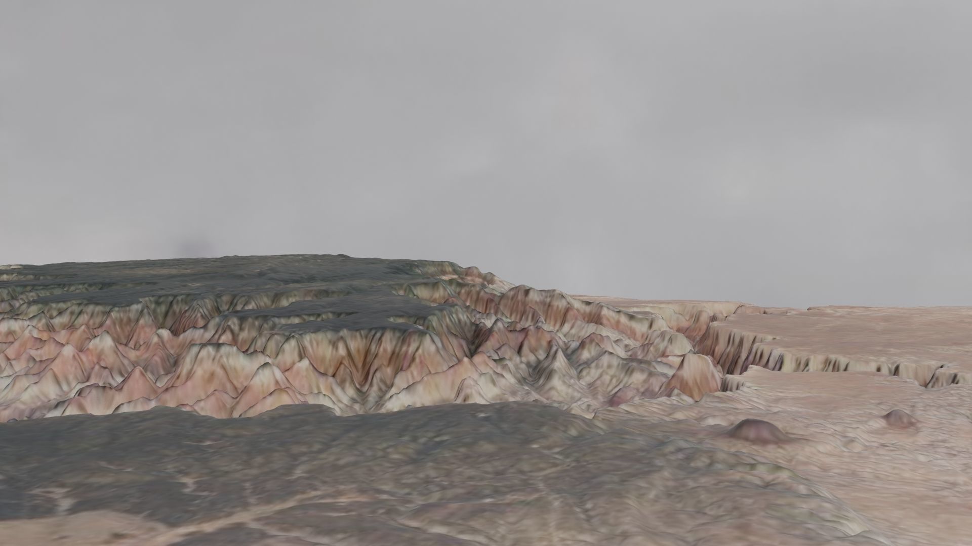
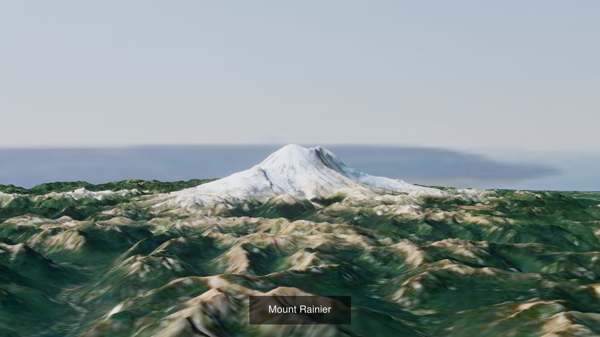
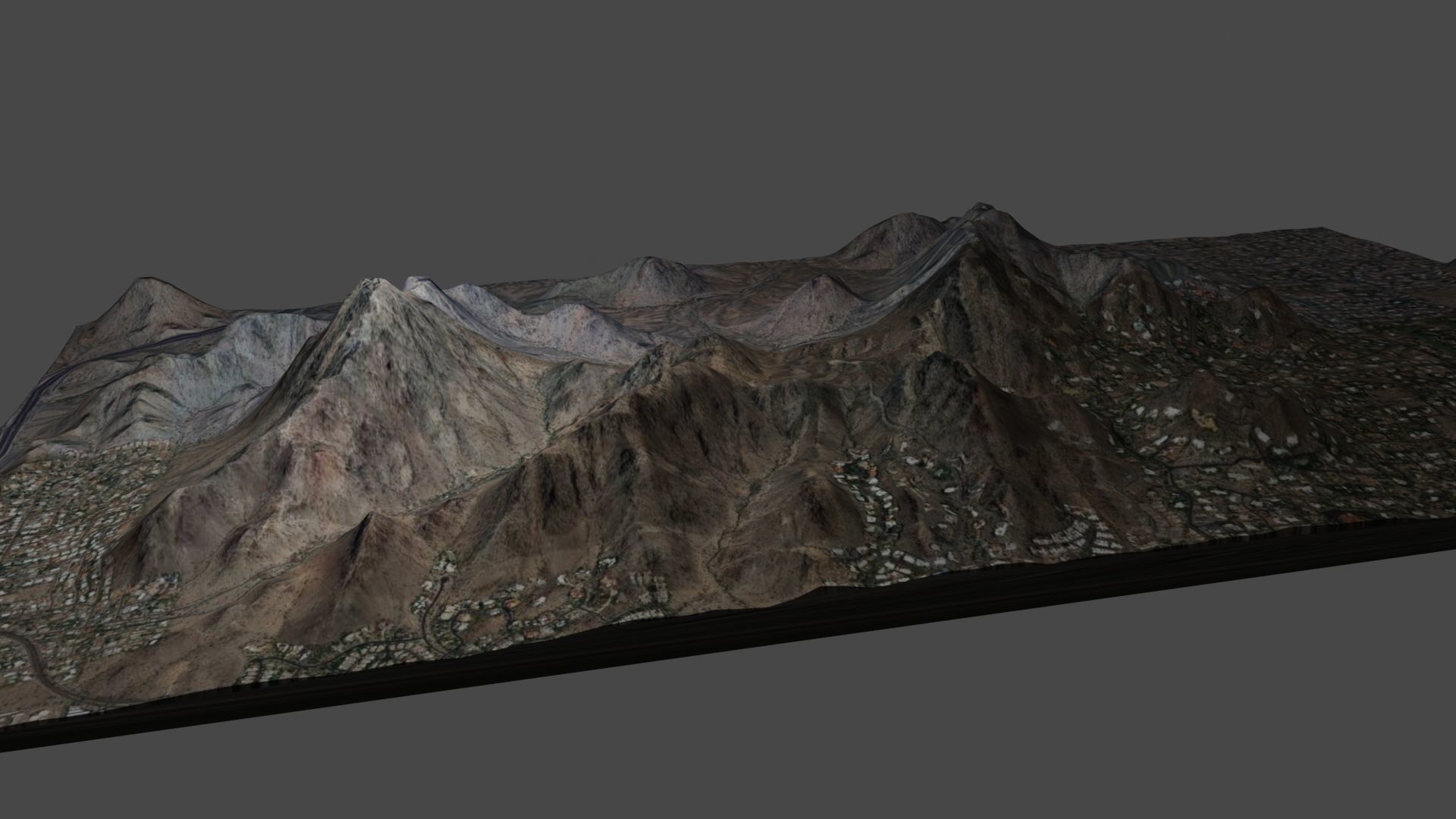
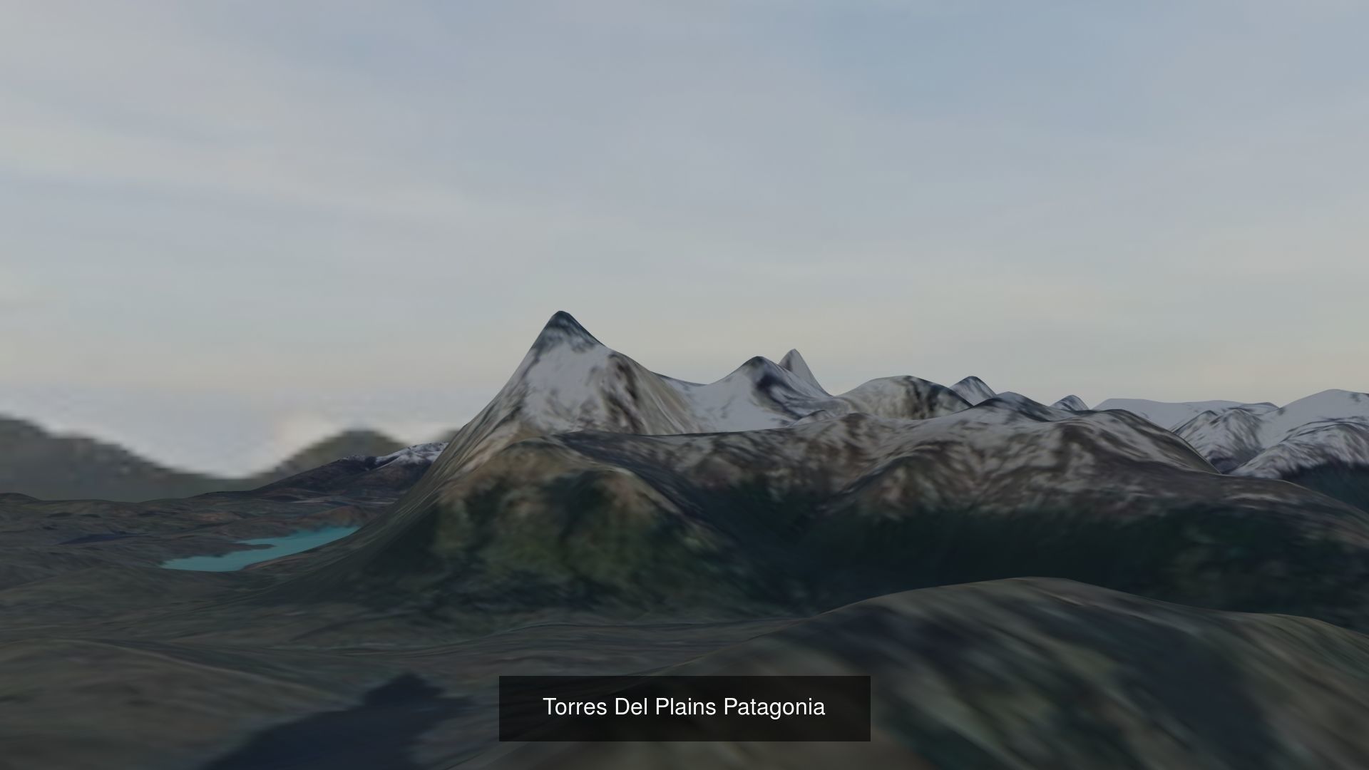
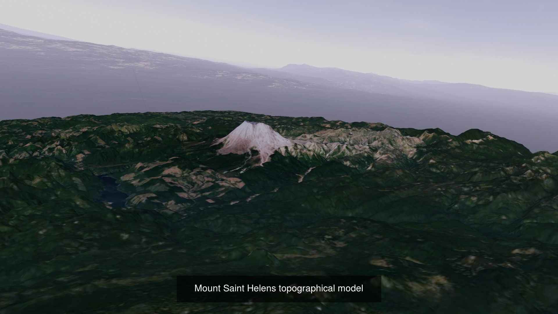
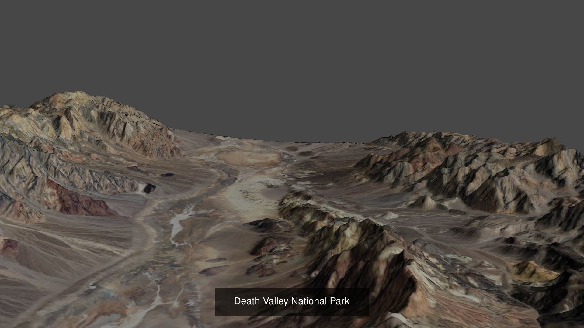
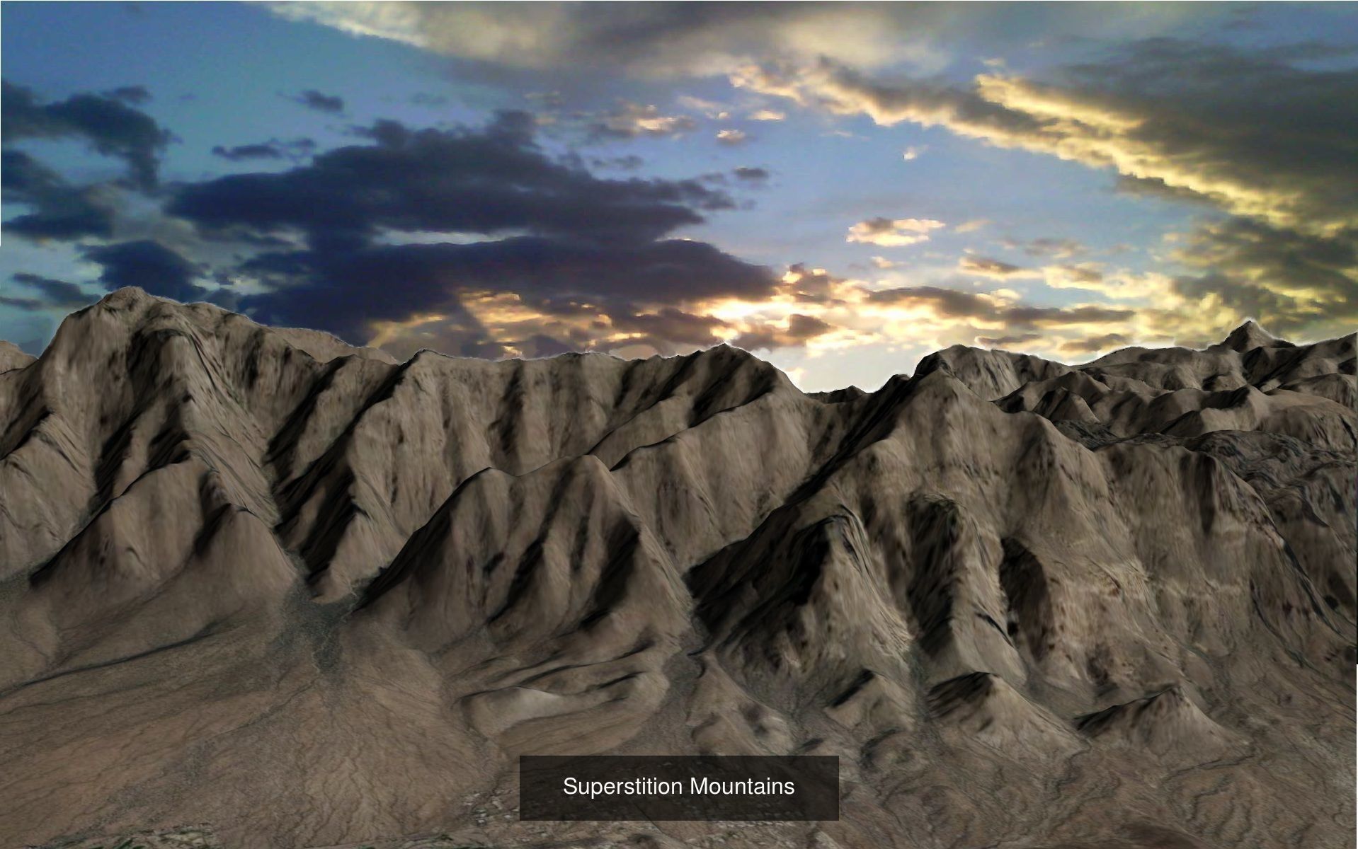
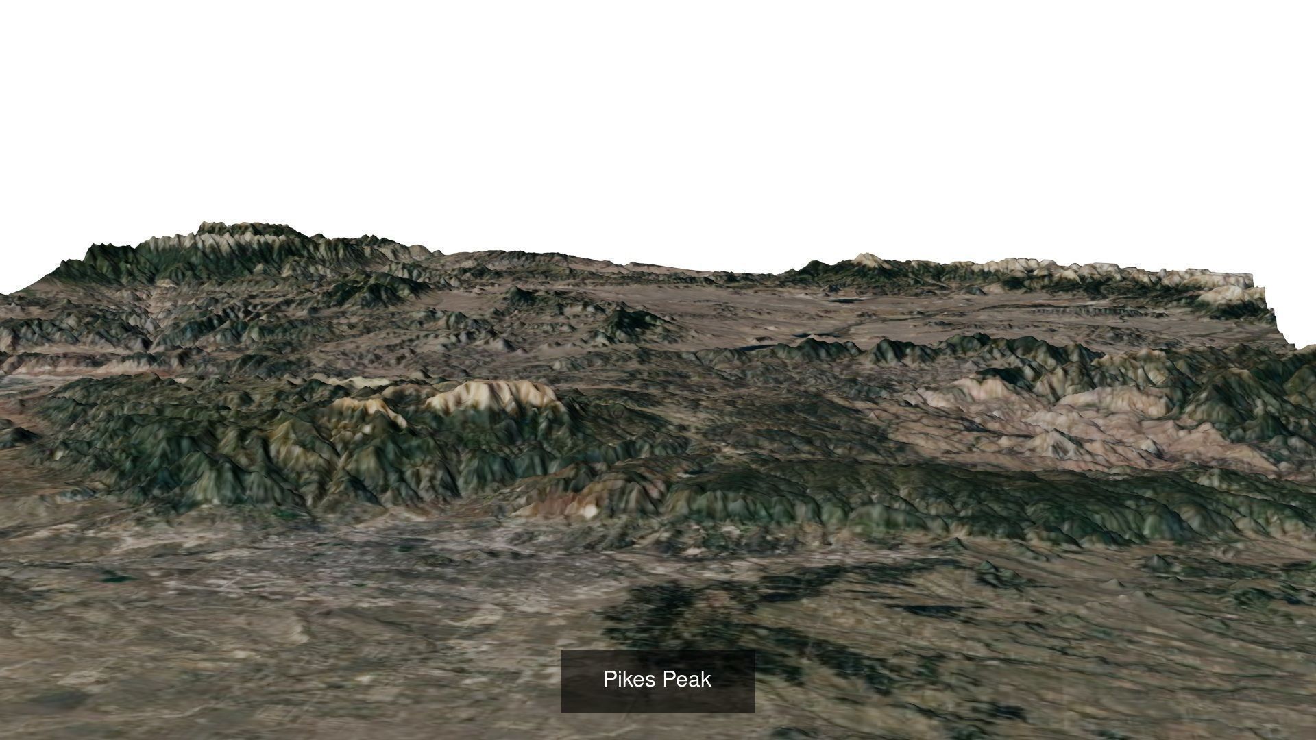
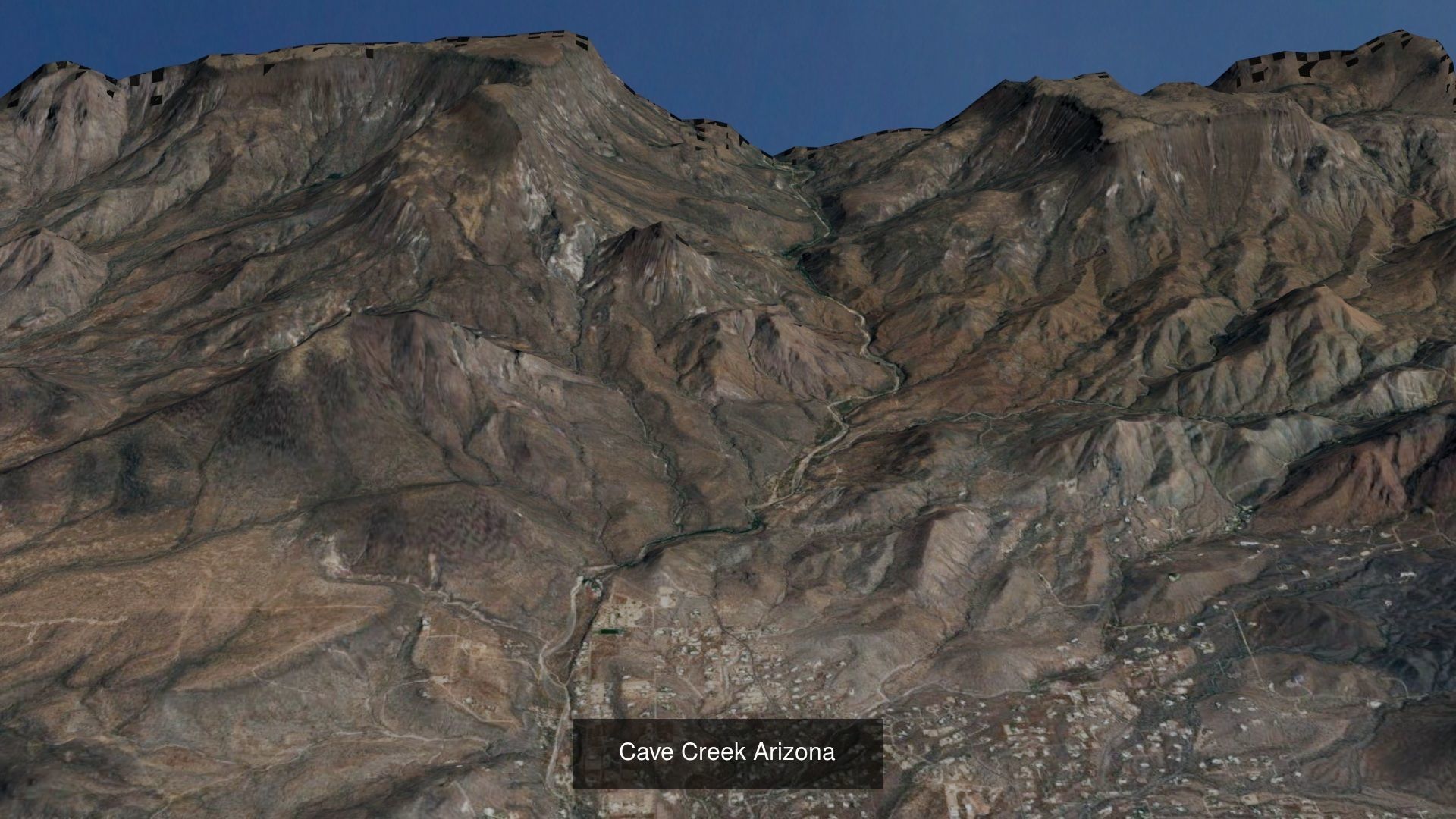
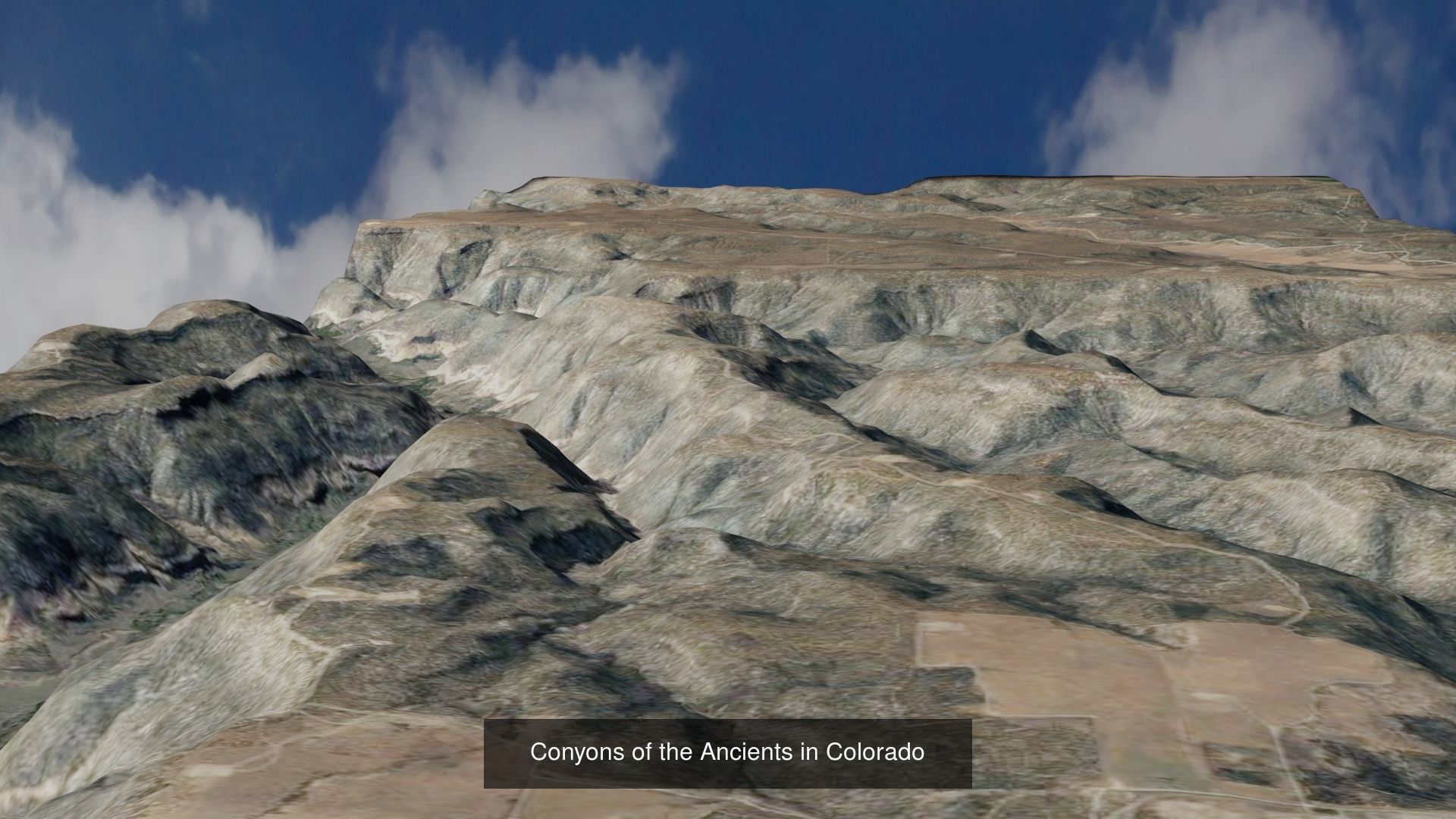
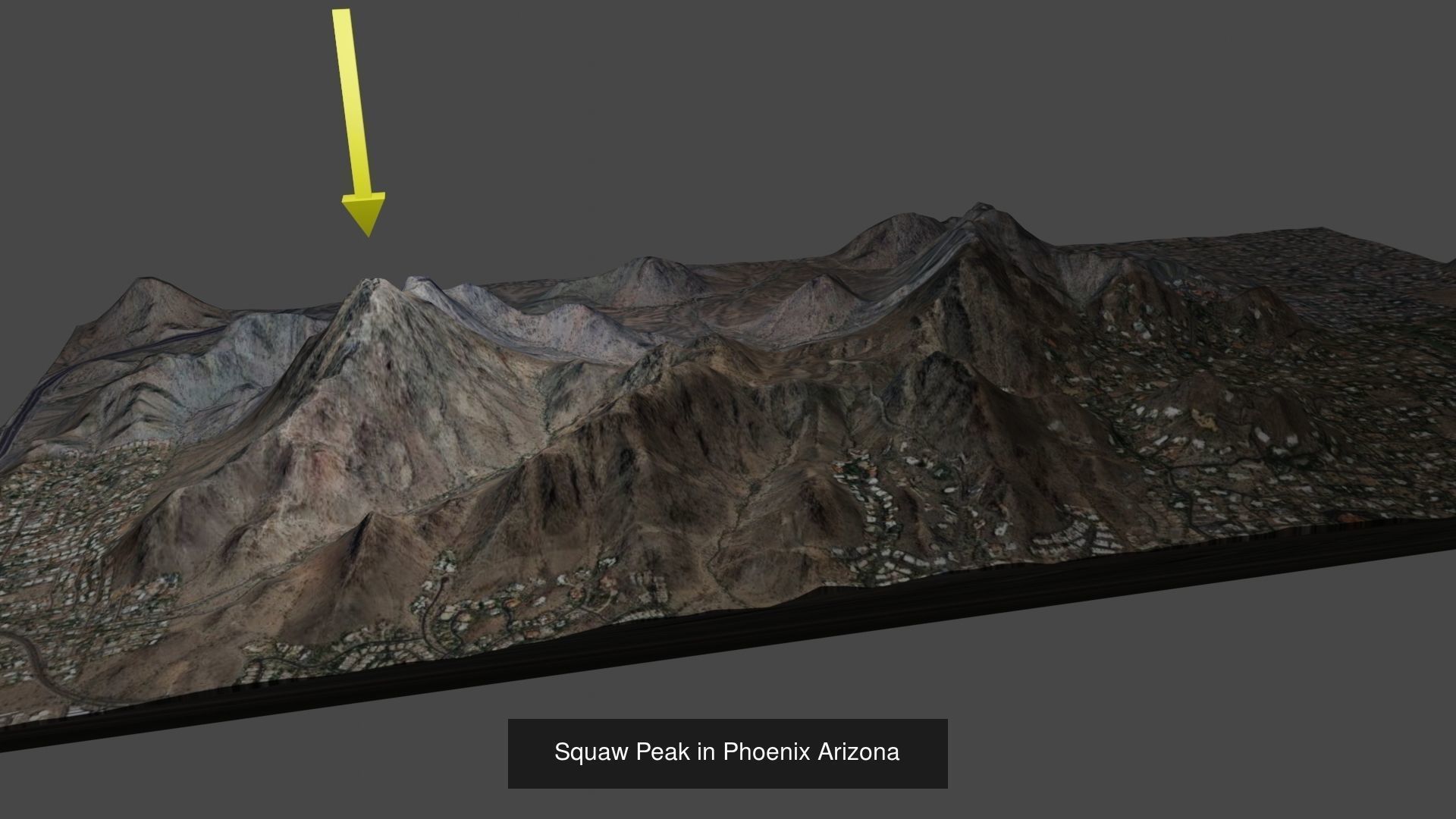
Topographical tarrains 3D Model Collection
The collection consists of:15 models total
3D Model | .fbx | .dxf | .obj | .blend | .dae | .stl | .mtl | .ms |
|---|---|---|---|---|---|---|---|---|
Description
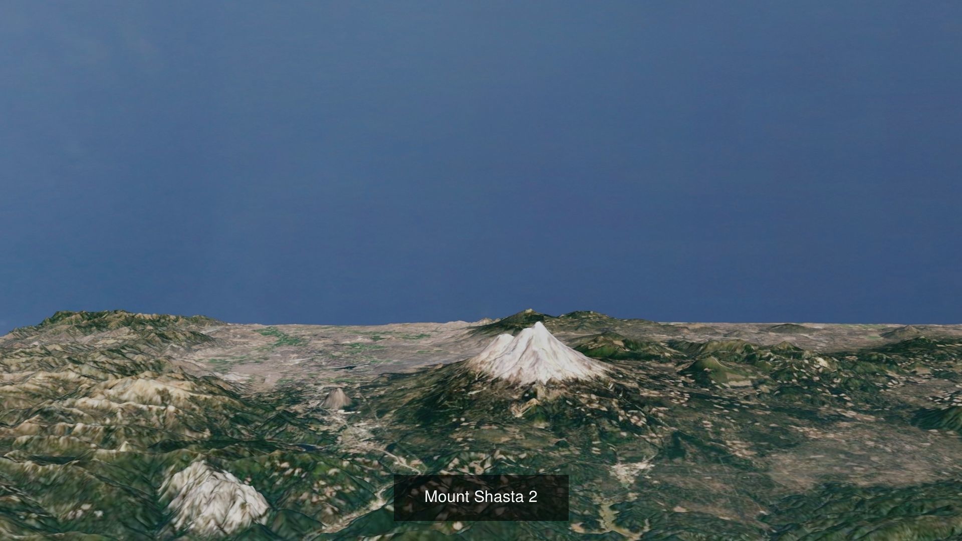
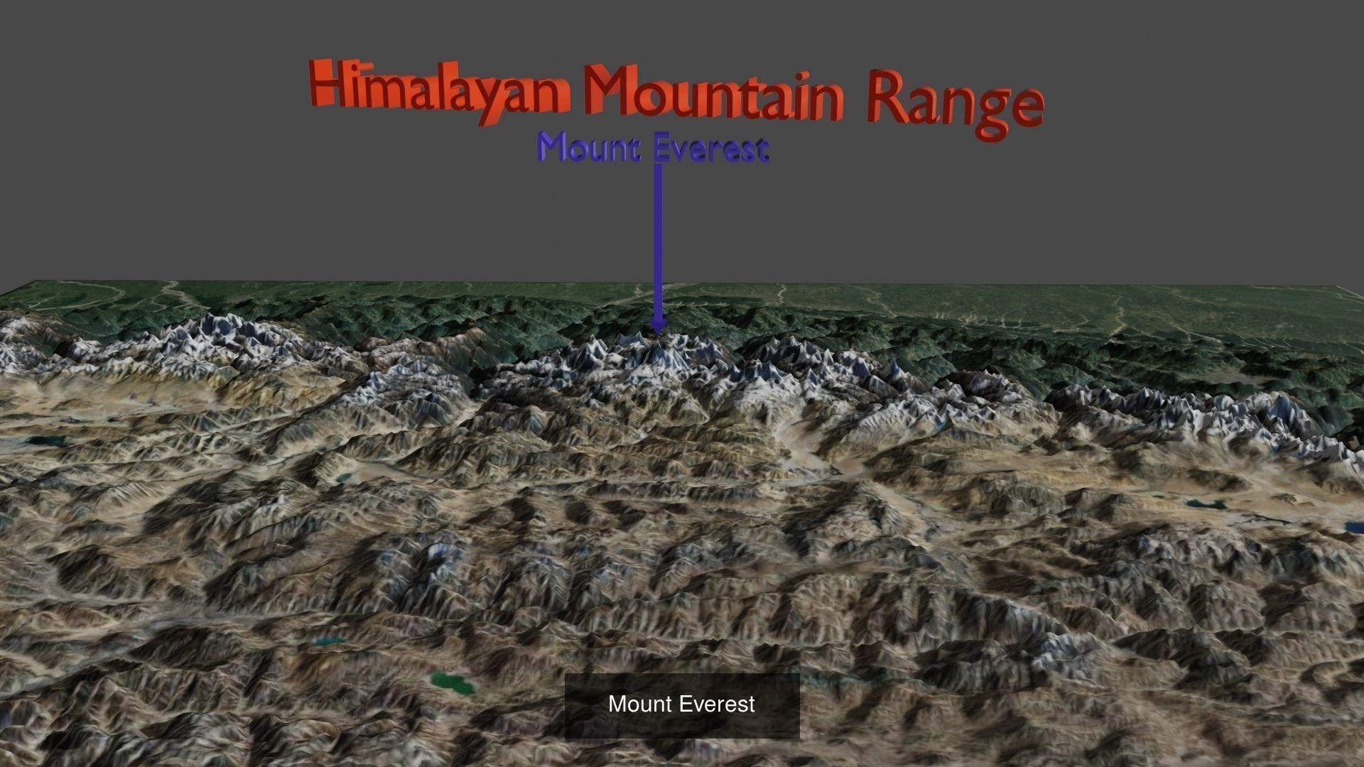
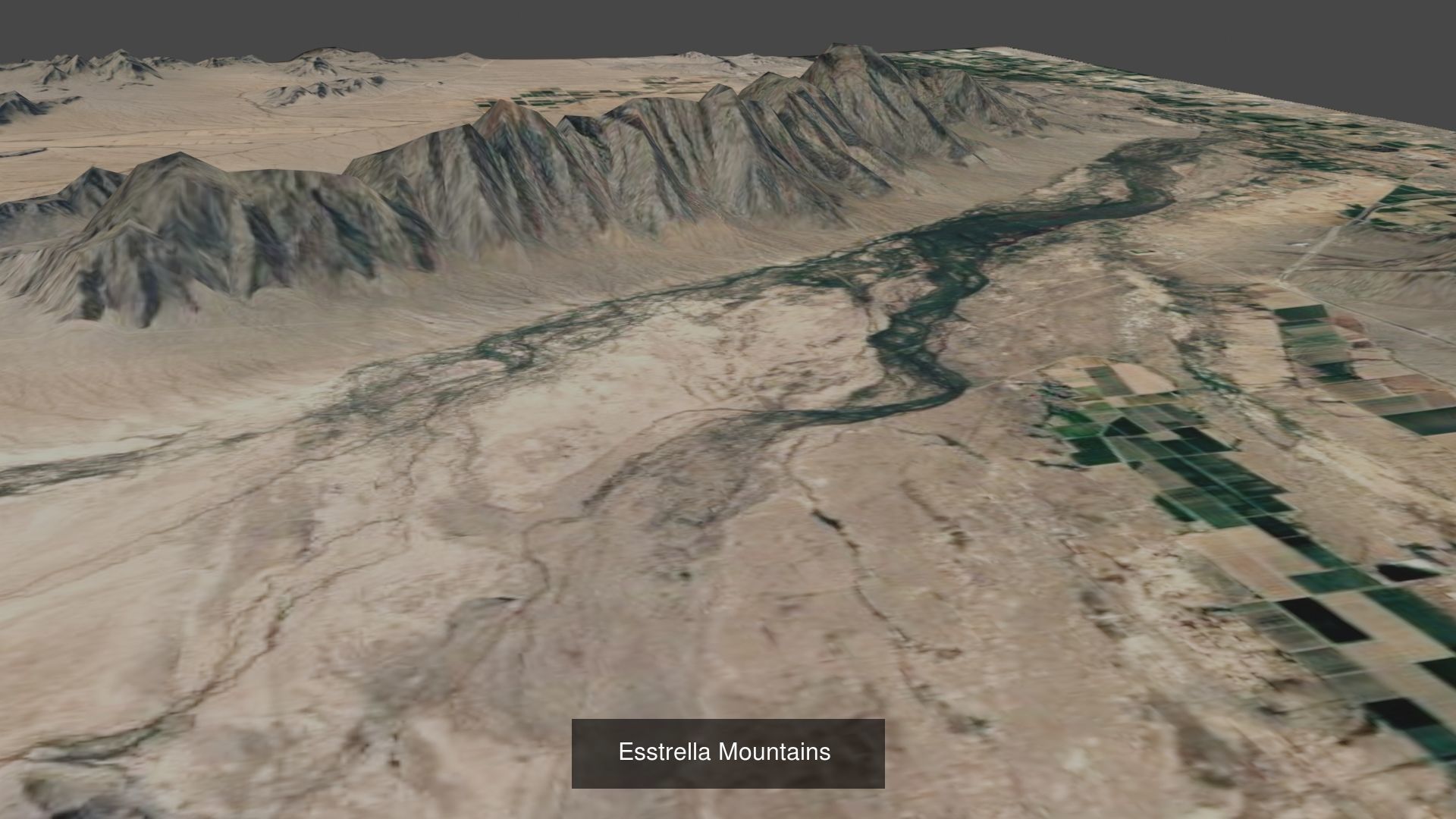
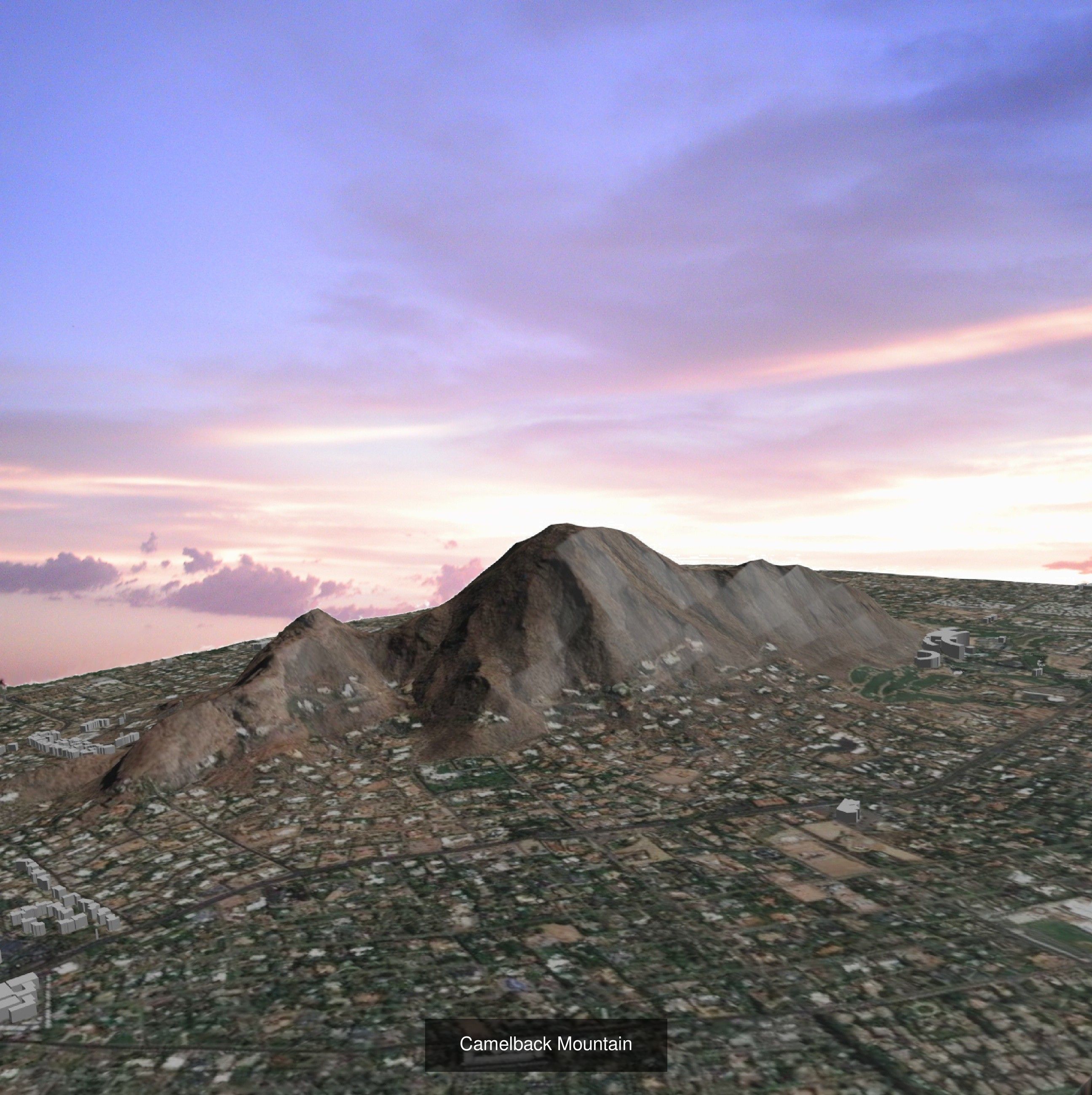
This is a collection of actual landscapes. Some are National Park areas which I have visited, and others are places I have been and found interesting. These topographical maps were created using Blender with a link to NASA for terrain elevations. These topo maps are useful if you plan on hiking in these areas. The detail is better with close-up views, and could be created using this system.
Topographical tarrains
Royalty Free License
Topographical tarrains
Royalty Free License

3D Collection formats
Format limitations
- Blender(.blend) 14/15
- Collada(.dae) 13/15
- Stereolithography(.stl) 15/15
- Autodesk FBX(.fbx) 11/15
- OBJ(.obj) 15/15
- OBJ(.mtl) 15/15
- 3ds Max macroScript(.ms) 1/15
- DXF(.dxf) 4/15
3D Collection details
- Publish date2020-09-28
- Collection ID#2627289
- Animated 0/15
- Rigged 0/15
- VR / AR / Low-poly 0/15
- PBR 0/15
- Ready for 3D Printing
Similar Models
to Topographical tarrains

