

Useto navigate. Pressescto quit
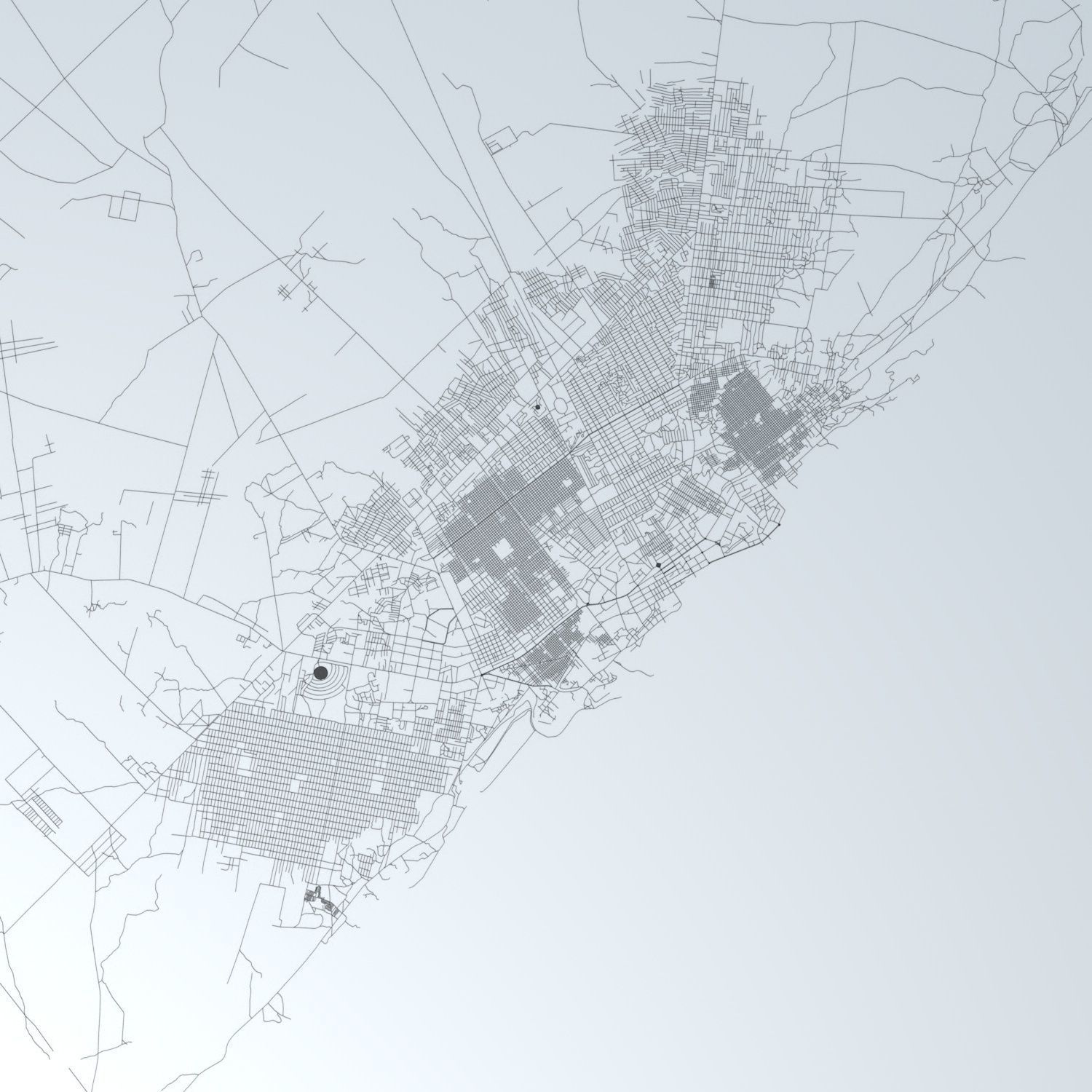
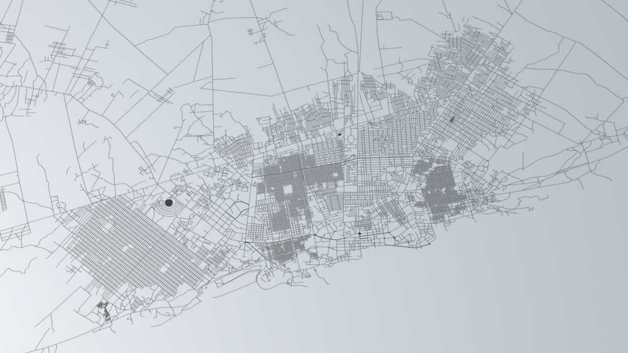
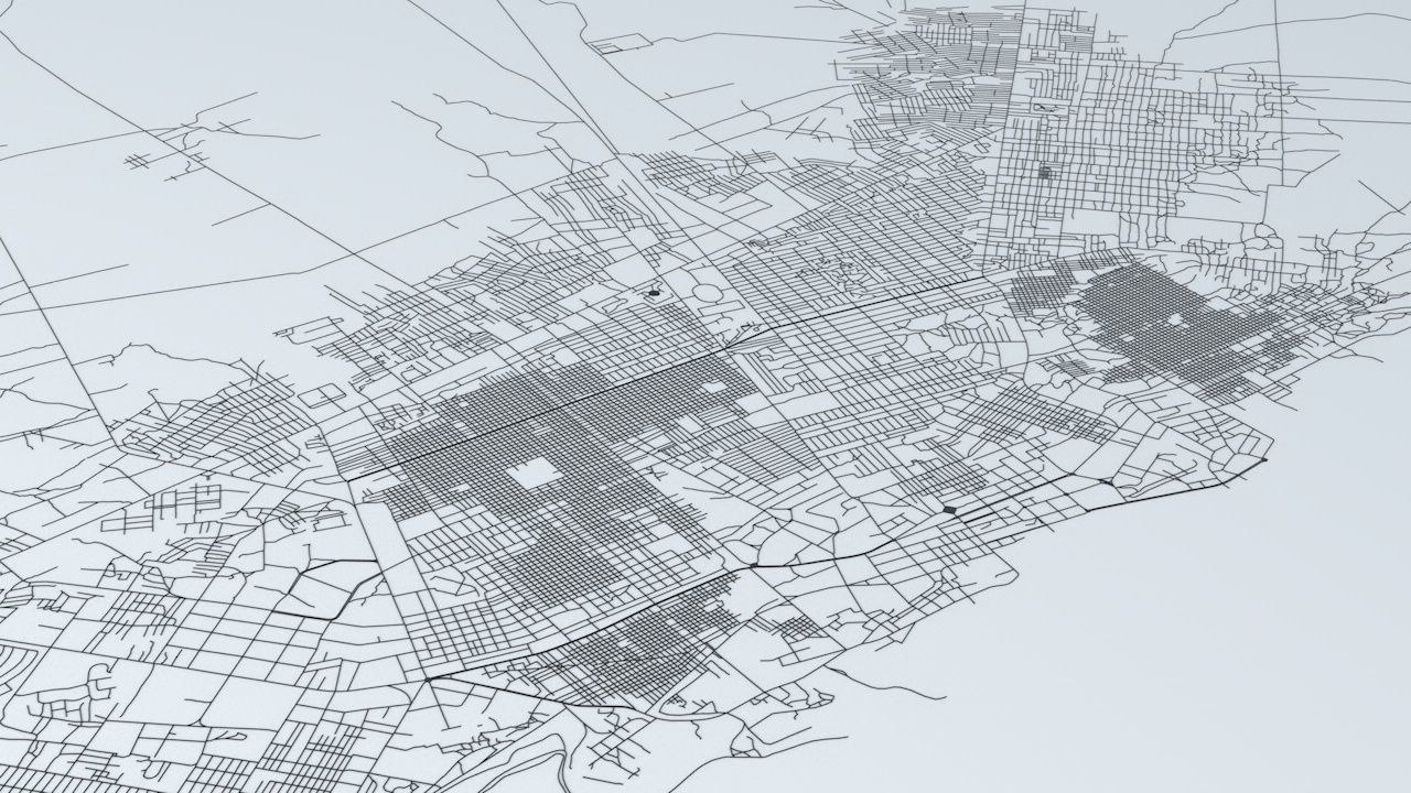
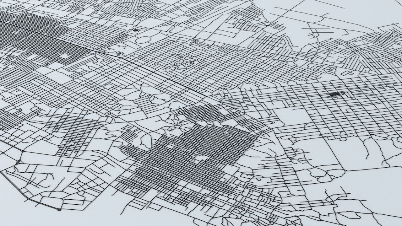
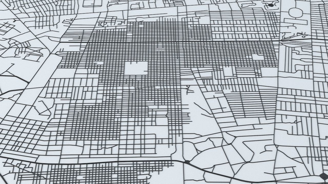
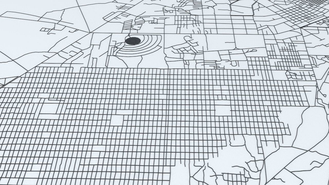
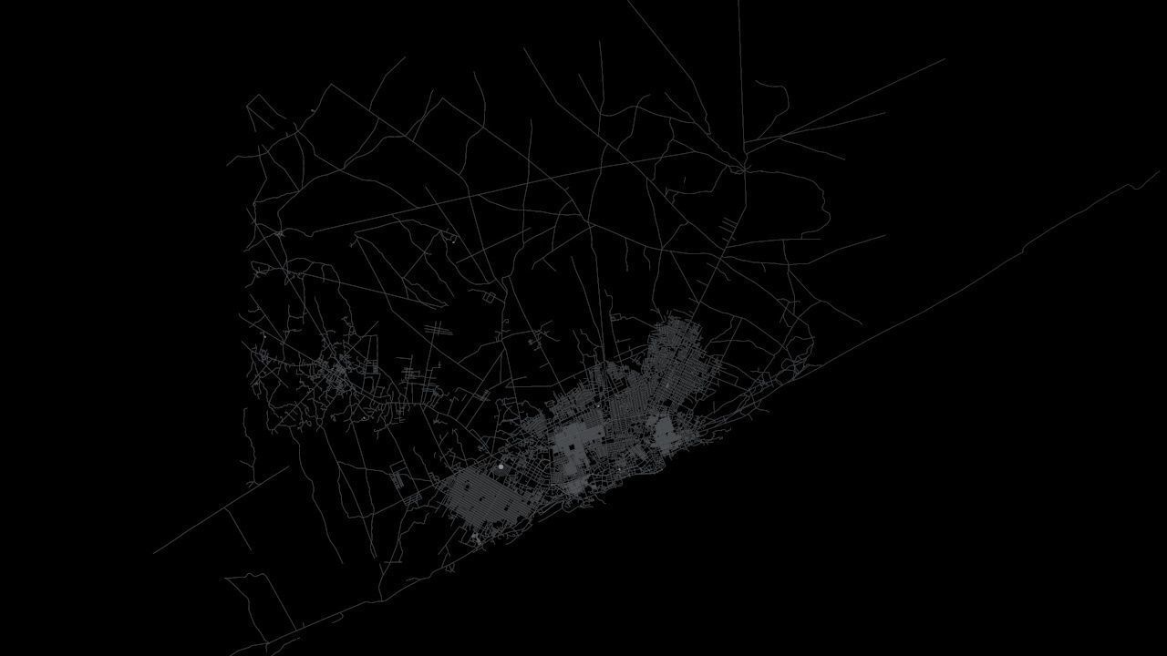
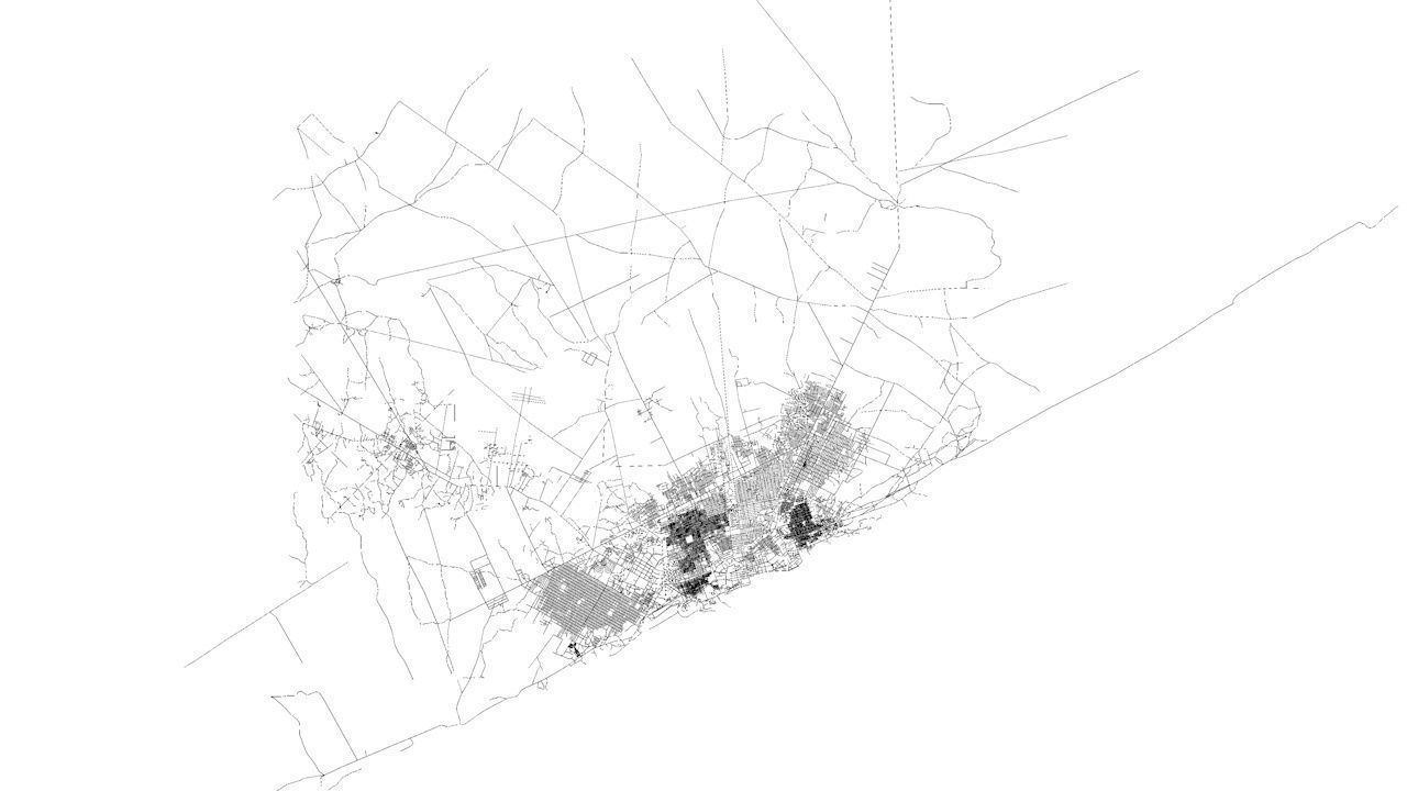
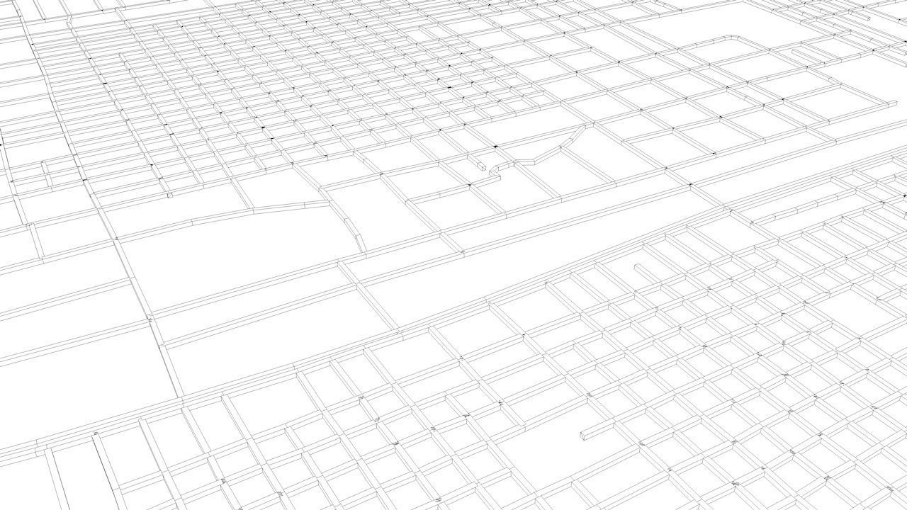
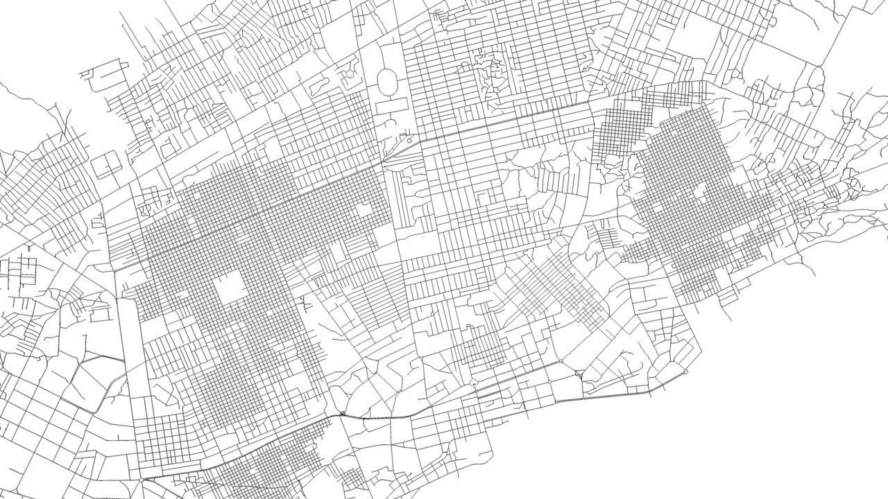
Mogadishu Road Network and Streets 3D model
Description
- this model is based on real data therefore this is a realistic road network and streets setup of Mogadishu, Somalia
- 2 objects included | 1. roads and streets 2. squares and plazas
- UV mapped with overlapping UVs
- the model is positioned on a flat surface (road network is on the “floor” - no elevation data included)
- geometry is polygonal quads and tris
- model is untextured and renders fast
- this 3D model is/can be licensed (commercial use is fine) under Creative Commons Attribution-ShareALike 2.0 (CC-BY-SA) license
- buildings and streets data from OpenStreetMap / www.openstreetmap.org
Attribution : © OpenStreetMap contributors / http://www.openstreetmap.org/copyright
POINTS/VERTS : 200620 POLYGONS : 204892
- .c4d - native format
- .fbx - v7.1
- .dae - v1.5
- .dxf
- .obj
Mogadishu Road Network and Streets
Custom License
Mogadishu Road Network and Streets
Custom License

3D Modeling
Low-poly Modeling
UV mapping
Texturing
Post Production
3D Model formats
Format limitations
- Cinema 4D R18 (.c4d)4.52 MB
- DXF (.dxf)3.1 MB
- OBJ (.obj, .mtl)7.24 MB
- Autodesk FBX 7.1 (.fbx)5.45 MB
- Collada 1.5 (.dae)3.71 MB
3D Model details
- Publish date2017-10-30
- Model ID#797595
- Animated
- Rigged
- VR / AR / Low-poly
- PBR
- Geometry Polygon mesh
- Polygons 204,892
- Vertices 200,620
- Textures
- Materials
- UV Mapping
- Unwrapped UVs Overlapping
- Plugins used
- Ready for 3D Printing
Similar Models
to Mogadishu Road Network and Streets

