


Useto navigate. Pressescto quit
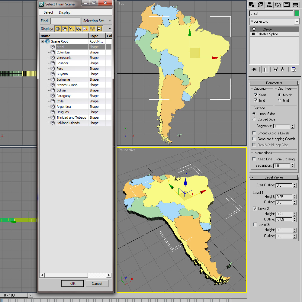
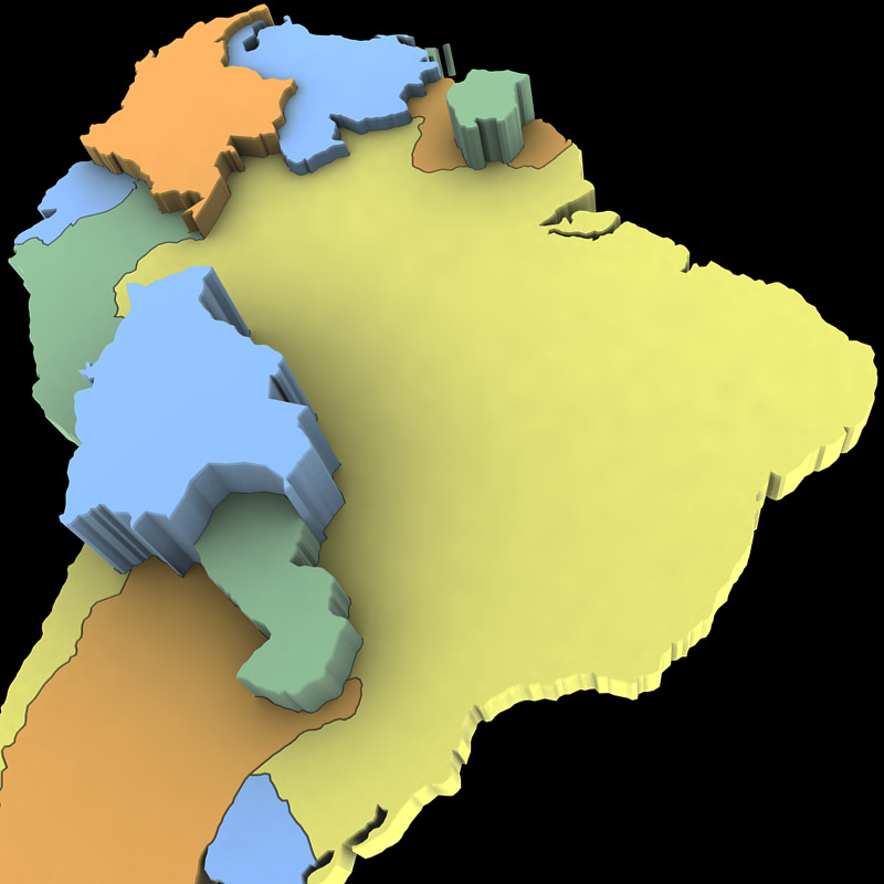
South America Map 3D model
Description
3d model of the map of South America. Includes all South American nations. 3ds max version and all exported geometries include standard procedural materials; no additional plugins are required for this product.
3ds Max Version Only
All South American nations, including the Falkland Islands are editable splines with the bevel modifier applied allowing for adjustments in height. All exported versions will be editable poly/mesh. All models are properly labeled with correct nation names.
Similar Models
to South America Map

